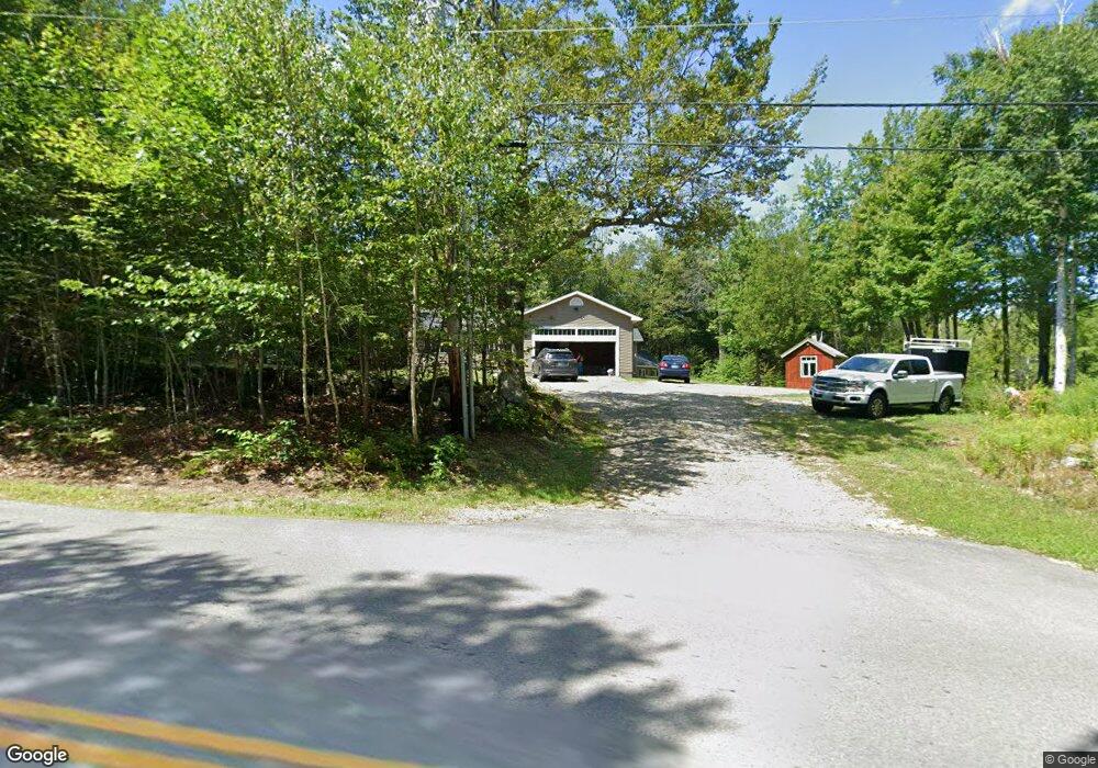
96 Appleton Rd New Ipswich, NH 03071
Estimated Value: $395,000 - $444,000
3
Beds
2
Baths
1,380
Sq Ft
$305/Sq Ft
Est. Value
About This Home
This home is located at 96 Appleton Rd, New Ipswich, NH 03071 and is currently estimated at $421,095, approximately $305 per square foot. 96 Appleton Rd is a home located in Hillsborough County with nearby schools including Highbridge Hill Elementary School, Boynton Middle School, and Mascenic Regional High School.
Ownership History
Date
Name
Owned For
Owner Type
Purchase Details
Closed on
Sep 28, 2010
Sold by
White Dorothy K
Bought by
Theodore Alexander D
Current Estimated Value
Home Financials for this Owner
Home Financials are based on the most recent Mortgage that was taken out on this home.
Original Mortgage
$70,000
Outstanding Balance
$45,589
Interest Rate
4.48%
Mortgage Type
Purchase Money Mortgage
Estimated Equity
$375,506
Create a Home Valuation Report for This Property
The Home Valuation Report is an in-depth analysis detailing your home's value as well as a comparison with similar homes in the area
Home Values in the Area
Average Home Value in this Area
Purchase History
| Date | Buyer | Sale Price | Title Company |
|---|---|---|---|
| Theodore Alexander D | $125,000 | -- |
Source: Public Records
Mortgage History
| Date | Status | Borrower | Loan Amount |
|---|---|---|---|
| Open | Theodore Alexander D | $70,000 |
Source: Public Records
Tax History
| Year | Tax Paid | Tax Assessment Tax Assessment Total Assessment is a certain percentage of the fair market value that is determined by local assessors to be the total taxable value of land and additions on the property. | Land | Improvement |
|---|---|---|---|---|
| 2025 | $6,802 | $399,400 | $105,200 | $294,200 |
| 2024 | $6,079 | $399,400 | $105,200 | $294,200 |
| 2023 | $5,767 | $224,400 | $56,200 | $168,200 |
| 2022 | $5,276 | $224,400 | $56,200 | $168,200 |
| 2021 | $4,986 | $224,400 | $56,200 | $168,200 |
| 2020 | $4,769 | $224,400 | $56,200 | $168,200 |
| 2019 | $4,876 | $224,400 | $56,200 | $168,200 |
| 2018 | $4,791 | $171,100 | $50,200 | $120,900 |
| 2017 | $4,568 | $171,100 | $50,200 | $120,900 |
| 2016 | $4,488 | $171,100 | $50,200 | $120,900 |
| 2015 | $4,775 | $171,100 | $50,200 | $120,900 |
| 2014 | $4,743 | $171,100 | $50,200 | $120,900 |
| 2013 | $4,319 | $193,000 | $75,200 | $117,800 |
Source: Public Records
Map
Nearby Homes
- 22 Davis Village Rd
- 811 Turnpike Rd
- 949 Turnpike Rd
- 111 Main St
- 220 Stowell Rd
- 103 Smithville Rd
- 00 Greenville Rd
- 6 Cascade Dr
- 63 Taylor Rd
- 306 Turnpike Rd
- 36 Mill St
- 2 Ella Dr
- 0 Adams St Unit 5073202
- 122 Timbertop Rd
- 27 Westbrook Dr
- 16 River St
- 16 River St Unit 16-18
- 25 Main St
- 46 Lower Pratt Pond Rd
- 3 Mill St
Your Personal Tour Guide
Ask me questions while you tour the home.