Estimated Value: $130,000 - $208,037
2
Beds
2
Baths
1,754
Sq Ft
$104/Sq Ft
Est. Value
About This Home
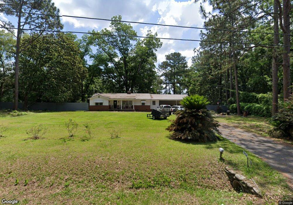
This home is located at 96 Harmon St, Dixie, GA 31629 and is currently estimated at $182,759, approximately $104 per square foot. 96 Harmon St is a home located in Brooks County with nearby schools including Quitman Elementary School and Westbrook School.
Ownership History
Date
Name
Owned For
Owner Type
Purchase Details
Closed on
Jul 31, 2020
Sold by
Prevatt Donald C
Bought by
Sims Rodrick Lamar and Sims Jalisa Deera
Current Estimated Value
Home Financials for this Owner
Home Financials are based on the most recent Mortgage that was taken out on this home.
Original Mortgage
$112,590
Interest Rate
3%
Mortgage Type
New Conventional
Purchase Details
Closed on
Mar 16, 2020
Sold by
Dixie Springs Investments Llc
Bought by
Prevatt Donald C and Prevatt Shirley E
Purchase Details
Closed on
Feb 20, 2014
Sold by
Hagan John E
Bought by
Garrison Codan
Purchase Details
Closed on
Jul 22, 1993
Sold by
Simpson Robert H and Simpson Lillian J
Bought by
Hagan John and Hagan Irene
Create a Home Valuation Report for This Property
The Home Valuation Report is an in-depth analysis detailing your home's value as well as a comparison with similar homes in the area
Purchase History
| Date | Buyer | Sale Price | Title Company |
|---|---|---|---|
| Sims Rodrick Lamar | $125,100 | -- | |
| Prevatt Donald C | $15,000 | -- | |
| Garrison Codan | $75,000 | -- | |
| Hagan John | $31,500 | -- |
Source: Public Records
Mortgage History
| Date | Status | Borrower | Loan Amount |
|---|---|---|---|
| Closed | Sims Rodrick Lamar | $112,590 |
Source: Public Records
Tax History
| Year | Tax Paid | Tax Assessment Tax Assessment Total Assessment is a certain percentage of the fair market value that is determined by local assessors to be the total taxable value of land and additions on the property. | Land | Improvement |
|---|---|---|---|---|
| 2025 | $2,106 | $71,632 | $3,360 | $68,272 |
| 2024 | $2,106 | $71,072 | $2,800 | $68,272 |
| 2023 | $1,487 | $64,792 | $2,800 | $61,992 |
| 2022 | $1,718 | $51,072 | $2,760 | $48,312 |
| 2021 | $1,743 | $50,112 | $2,720 | $47,392 |
| 2020 | $365 | $13,152 | $2,720 | $10,432 |
| 2019 | $1,258 | $34,592 | $2,800 | $31,792 |
| 2018 | $1,010 | $34,592 | $2,800 | $31,792 |
| 2017 | $1,203 | $33,312 | $2,800 | $30,512 |
| 2016 | $1,235 | $33,312 | $2,800 | $30,512 |
| 2015 | -- | $33,512 | $2,800 | $30,712 |
| 2014 | -- | $33,992 | $2,800 | $31,192 |
| 2013 | -- | $33,992 | $2,800 | $31,192 |
Source: Public Records
Map
Nearby Homes
- 5199 U S 84
- Dixie Rd
- 2156 County Road 78
- 804 Westlake Dr
- 431 Dry Lake Rd
- 309 Eastlake Dr
- 1001 W Bartow St
- 901 W Boundary St
- 304 W Rountree St
- 0 W Swamp St
- 9900 Ozell Rd
- 203 W Gordon St
- 606 N Court St
- Lot 14 Dawn Ln
- 0 Madison Hwy Unit Quitman GA
- 0 Madison Hwy Unit 147194
- 417 N Court St
- 621 N Court St
- 807 N Court St
- 0 E Gordon St
Your Personal Tour Guide
Ask me questions while you tour the home.