96 High Rock Rd Sandy Hook, CT 06482
Estimated Value: $260,000 - $526,000
3
Beds
2
Baths
1,200
Sq Ft
$367/Sq Ft
Est. Value
About This Home
This home is located at 96 High Rock Rd, Sandy Hook, CT 06482 and is currently estimated at $440,145, approximately $366 per square foot. 96 High Rock Rd is a home located in Fairfield County with nearby schools including Fawn Hollow Elementary School, Jockey Hollow Middle School, and Masuk High School.
Ownership History
Date
Name
Owned For
Owner Type
Purchase Details
Closed on
Aug 28, 2015
Sold by
Decarlo Anthony W and Decarlo Janet L
Bought by
Decarlo Robert and Decarlo Wendy
Current Estimated Value
Home Financials for this Owner
Home Financials are based on the most recent Mortgage that was taken out on this home.
Original Mortgage
$35,000
Interest Rate
4.09%
Purchase Details
Closed on
Jul 18, 2011
Sold by
Decarlo Anthony W and Decarlo Michael
Bought by
Decarlo Anthony W and Decarlo Janet L
Purchase Details
Closed on
Mar 23, 2009
Sold by
Decarlo Joseph
Bought by
Decarlo Anthony and Decarlo Janet
Create a Home Valuation Report for This Property
The Home Valuation Report is an in-depth analysis detailing your home's value as well as a comparison with similar homes in the area
Home Values in the Area
Average Home Value in this Area
Purchase History
| Date | Buyer | Sale Price | Title Company |
|---|---|---|---|
| Decarlo Robert | $260,000 | -- | |
| Decarlo Robert | $260,000 | -- | |
| Decarlo Anthony W | -- | -- | |
| Decarlo Anthony W | -- | -- | |
| Decarlo Anthony | $80,606 | -- | |
| Decarlo Anthony | $80,606 | -- |
Source: Public Records
Mortgage History
| Date | Status | Borrower | Loan Amount |
|---|---|---|---|
| Closed | Decarlo Robert | $35,000 |
Source: Public Records
Tax History
| Year | Tax Paid | Tax Assessment Tax Assessment Total Assessment is a certain percentage of the fair market value that is determined by local assessors to be the total taxable value of land and additions on the property. | Land | Improvement |
|---|---|---|---|---|
| 2025 | $7,036 | $244,830 | $66,620 | $178,210 |
| 2024 | $6,603 | $244,830 | $66,620 | $178,210 |
| 2023 | $6,424 | $244,830 | $66,620 | $178,210 |
| 2022 | $6,027 | $173,850 | $71,290 | $102,560 |
| 2021 | $6,024 | $173,850 | $71,290 | $102,560 |
| 2020 | $6,043 | $173,850 | $71,290 | $102,560 |
| 2019 | $6,027 | $173,340 | $71,290 | $102,050 |
| 2018 | $5,935 | $173,340 | $71,290 | $102,050 |
| 2017 | $5,037 | $148,720 | $73,210 | $75,510 |
| 2016 | $4,997 | $148,720 | $73,210 | $75,510 |
| 2015 | $4,918 | $148,720 | $73,210 | $75,510 |
| 2014 | $4,954 | $148,720 | $73,210 | $75,510 |
Source: Public Records
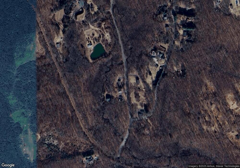
Map
Nearby Homes
- 3 Rowledge Pond Rd
- 360 Garder Rd
- 491 Hammertown Rd
- 275-291 Hammertown Rd
- 42 Great Ring Rd
- 61 High Rock Rd
- 59 Great Ring Rd
- 49 Great Ring Rd
- 40 Great Ring Rd
- 39 Bradley Ln
- 312 Turkey Roost Rd
- 66 Marlin Rd
- 2 Ridge Valley Rd
- 114 Turkey Roost Rd
- 58 Botsford Hill Rd
- 167 Toddy Hill Rd
- 13 Jordan Hill Rd Unit Lot 4
- 34 Jockey Hollow Rd
- 8 Stone Bridge Trail
- 19 Botsford Hill Rd
- 98 High Rock Rd
- 131 High Rock Rd
- 96 Great Ring Rd
- 86 High Rock Rd
- 90 Great Ring Rd
- 101 Great Ring Rd
- 86A Great Ring Rd
- 88 Great Ring Rd
- 86 Great Ring Rd
- 25 High Rock Rd
- 125 High Rock Rd
- 40 High Rock Rd
- 93 Great Ring Rd
- 123 High Rock Rd
- 91 Great Ring Rd
- 20 Sand Hill Rd
- 89 Great Ring Rd
- 20 High Rock Rd
- 121 High Rock Rd
Your Personal Tour Guide
Ask me questions while you tour the home.