96 Red Gate Ln Rindge, NH 03461
Estimated Value: $348,000 - $484,000
3
Beds
1
Bath
1,270
Sq Ft
$329/Sq Ft
Est. Value
About This Home
This home is located at 96 Red Gate Ln, Rindge, NH 03461 and is currently estimated at $418,266, approximately $329 per square foot. 96 Red Gate Ln is a home with nearby schools including Rindge Memorial School, Conant Middle High School, and Conant High School.
Create a Home Valuation Report for This Property
The Home Valuation Report is an in-depth analysis detailing your home's value as well as a comparison with similar homes in the area
Home Values in the Area
Average Home Value in this Area
Tax History Compared to Growth
Tax History
| Year | Tax Paid | Tax Assessment Tax Assessment Total Assessment is a certain percentage of the fair market value that is determined by local assessors to be the total taxable value of land and additions on the property. | Land | Improvement |
|---|---|---|---|---|
| 2024 | $6,348 | $250,800 | $115,400 | $135,400 |
| 2023 | $6,280 | $250,800 | $115,400 | $135,400 |
| 2022 | $5,776 | $250,800 | $115,400 | $135,400 |
| 2021 | $5,681 | $250,800 | $115,400 | $135,400 |
| 2020 | $12 | $250,800 | $115,400 | $135,400 |
| 2019 | $135 | $206,200 | $110,100 | $96,100 |
| 2018 | $5,671 | $206,200 | $110,100 | $96,100 |
| 2017 | $440 | $206,200 | $110,100 | $96,100 |
| 2016 | $11 | $206,200 | $110,100 | $96,100 |
| 2015 | $5,751 | $206,200 | $110,100 | $96,100 |
| 2014 | $6,008 | $230,800 | $147,600 | $83,200 |
| 2013 | $5,876 | $230,800 | $147,600 | $83,200 |
Source: Public Records
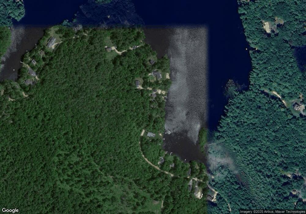
Map
Nearby Homes
- 110 Red Gate Ln
- 7 Emerson Dr
- 11 Mark St
- Lot 4 Saybrook Dr
- 46 Swan Point Rd
- 634 Old New Ipswich Rd
- 20 W Main St
- 446 Squantum Rd
- 703 Old New Ipswich Rd
- 714 Old New Ipswich Rd
- 28 Wellington Rd
- Lot 1 Saybrook Dr
- 41 Willow Ln
- 64 Old Ashburnham Rd
- Lot 2 Saybrook Dr
- Lot 15-0 Saybrook Dr
- 31 Willow Ln
- Lot 14 Saybrook Dr
- 37 Willow Ln
- 78 Pine Eden Rd