960568 S Robin Ln Wellston, OK 74881
Estimated Value: $95,000 - $227,000
3
Beds
1
Bath
784
Sq Ft
$190/Sq Ft
Est. Value
About This Home
This home is located at 960568 S Robin Ln, Wellston, OK 74881 and is currently estimated at $149,268, approximately $190 per square foot. 960568 S Robin Ln is a home with nearby schools including East Side Elementary School, Park Road Elementary School, and Chandler Junior High School.
Ownership History
Date
Name
Owned For
Owner Type
Purchase Details
Closed on
Apr 19, 2021
Sold by
Lincoln County
Bought by
Huskey Angel
Current Estimated Value
Purchase Details
Closed on
Jun 10, 2019
Sold by
County Of Lincoln
Bought by
Sorrell Kevin
Purchase Details
Closed on
Mar 18, 2011
Sold by
Roberts Robert B
Bought by
Charey David Ray
Purchase Details
Closed on
Jul 2, 2004
Sold by
Leabo Robert
Bought by
Chaney David Ray
Purchase Details
Closed on
Oct 2, 2002
Sold by
Poe Michael and Poe Ive
Bought by
Leabo Robert and Leabo Ruby
Purchase Details
Closed on
Aug 7, 1984
Sold by
Southwest Land Company
Bought by
Poe Mike and Poe Ive
Create a Home Valuation Report for This Property
The Home Valuation Report is an in-depth analysis detailing your home's value as well as a comparison with similar homes in the area
Home Values in the Area
Average Home Value in this Area
Purchase History
| Date | Buyer | Sale Price | Title Company |
|---|---|---|---|
| Huskey Angel | $250 | None Available | |
| Sorrell Kevin | -- | None Available | |
| Charey David Ray | $16,000 | None Available | |
| Chaney David Ray | $16,000 | -- | |
| Leabo Robert | $12,500 | -- | |
| Poe Mike | $5,500 | -- |
Source: Public Records
Tax History Compared to Growth
Tax History
| Year | Tax Paid | Tax Assessment Tax Assessment Total Assessment is a certain percentage of the fair market value that is determined by local assessors to be the total taxable value of land and additions on the property. | Land | Improvement |
|---|---|---|---|---|
| 2024 | $94 | $990 | $560 | $430 |
| 2023 | $94 | $990 | $560 | $430 |
| 2022 | $86 | $990 | $560 | $430 |
| 2021 | $0 | $0 | $0 | $0 |
| 2020 | $72 | $778 | $293 | $485 |
| 2019 | $0 | $778 | $293 | $485 |
| 2018 | $0 | $778 | $293 | $485 |
| 2017 | $0 | $778 | $293 | $485 |
| 2016 | $70 | $1,774 | $293 | $1,481 |
| 2015 | $71 | $1,774 | $293 | $1,481 |
| 2014 | $71 | $1,774 | $293 | $1,481 |
Source: Public Records
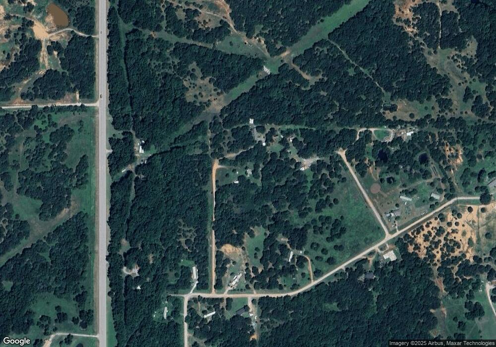
Map
Nearby Homes
- 337248 E Pecan Meadows Ln
- 960926 S Hoot Owl Ln
- 0 E 980 Rd
- 335752 E 980 Rd
- 0000 S Seven Oaks Rd
- 940671 S 3360 Rd
- 335744 E Creek Crossing Rd
- 0 980 Rd
- 0000 980 Rd
- 940605 S 3350 Rd
- 960402 S 3340 Rd
- 0 S Highway 177
- 333775 Oak Hollow
- 333631 Oak Hollow Dr
- 980270 S Shadowwood Dr
- 980438 S Shadowwood Dr
- 337743 E 1010 Rd
- 334358 E 980 Rd
- 00000 S Cr 3340 1b Rd
- 330633 E 875 Rd
- 0 S Robin Ln Unit 1004555
- 960607 S Cardinal Ln
- 960685 S Robin Ln
- 000 E Pecan Meadows Ln
- 337370 E Pecan Meadows Ln
- 337291 E Pecan Meadows Ln
- 0 Hwy 177 Hwy Unit 1010025
- 0 S Hoot Owl Ln Unit 1037842
- 960407 S Highway 177
- 960771 S Highway 177
- 337386 E Meadow Lark Ln
- 337532 E Meadowlark Ln
- 960964 Hoot Owl Ln
- 337201 E 960 Rd
- 336941 E 960 Rd
- 950818 S Highway 177
- 336554 E 970 Rd
- 336561 E 970 Rd
- 337665 E 960 Rd
- 336431 E 970 Rd