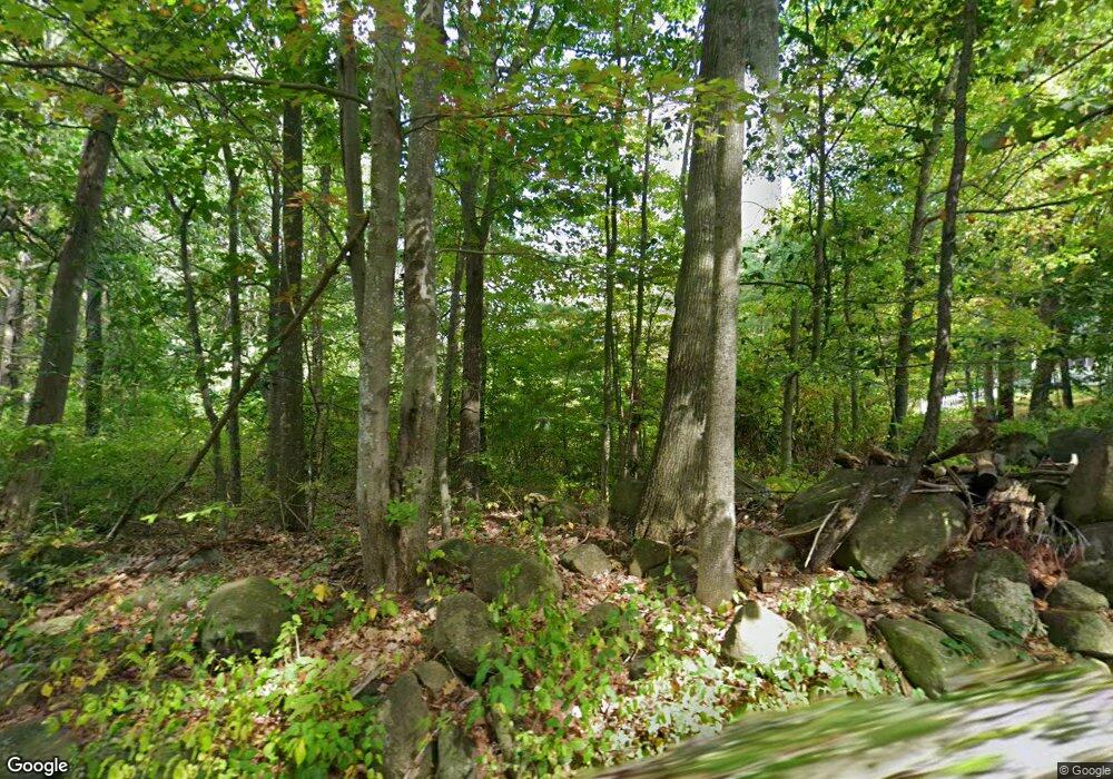
963 Isaac Frye Hwy Wilton, NH 03086
Estimated Value: $320,000 - $468,000
4
Beds
2
Baths
1,144
Sq Ft
$358/Sq Ft
Est. Value
About This Home
This home is located at 963 Isaac Frye Hwy, Wilton, NH 03086 and is currently estimated at $409,040, approximately $357 per square foot. 963 Isaac Frye Hwy is a home located in Hillsborough County with nearby schools including Florence Rideout Elementary School, Wilton-Lyndeborough Cooperative Middle School, and Wilton-Lyndeborough Cooperative High School.
Ownership History
Date
Name
Owned For
Owner Type
Purchase Details
Closed on
Apr 4, 2016
Sold by
Wells Fargo Bank Na Tr
Bought by
Mckay Lesli and Mckay William
Current Estimated Value
Purchase Details
Closed on
Apr 25, 2012
Sold by
Ingress Jeanne L and Wells Fargo Bank Na Tr
Bought by
Wells Fargo Bank Na Tr
Purchase Details
Closed on
Sep 18, 2000
Sold by
Rvkbl Sandra S Perfito
Bought by
Ingress Jeanne L
Home Financials for this Owner
Home Financials are based on the most recent Mortgage that was taken out on this home.
Original Mortgage
$139,900
Interest Rate
8.07%
Create a Home Valuation Report for This Property
The Home Valuation Report is an in-depth analysis detailing your home's value as well as a comparison with similar homes in the area
Home Values in the Area
Average Home Value in this Area
Purchase History
| Date | Buyer | Sale Price | Title Company |
|---|---|---|---|
| Mckay Lesli | $118,384 | -- | |
| Wells Fargo Bank Na Tr | $201,800 | -- | |
| Ingress Jeanne L | $137,000 | -- |
Source: Public Records
Mortgage History
| Date | Status | Borrower | Loan Amount |
|---|---|---|---|
| Previous Owner | Ingress Jeanne L | $205,600 | |
| Previous Owner | Ingress Jeanne L | $139,900 |
Source: Public Records
Tax History Compared to Growth
Tax History
| Year | Tax Paid | Tax Assessment Tax Assessment Total Assessment is a certain percentage of the fair market value that is determined by local assessors to be the total taxable value of land and additions on the property. | Land | Improvement |
|---|---|---|---|---|
| 2024 | $6,643 | $267,100 | $121,000 | $146,100 |
| 2023 | $5,930 | $267,100 | $121,000 | $146,100 |
| 2022 | $5,518 | $267,100 | $121,000 | $146,100 |
| 2021 | $5,134 | $267,100 | $121,000 | $146,100 |
| 2020 | $5,381 | $183,100 | $91,000 | $92,100 |
| 2019 | $5,317 | $183,100 | $91,000 | $92,100 |
| 2018 | $5,266 | $183,100 | $91,000 | $92,100 |
| 2017 | $4,975 | $183,100 | $91,000 | $92,100 |
| 2016 | $4,823 | $183,100 | $91,000 | $92,100 |
| 2015 | $4,899 | $186,000 | $98,100 | $87,900 |
| 2014 | $4,799 | $186,000 | $98,100 | $87,900 |
| 2013 | $4,840 | $186,000 | $98,100 | $87,900 |
Source: Public Records
Map
Nearby Homes
- A 66 Burton Hwy
- 24 Glass Factory Rd
- F/88-5 McGettigan Rd
- F/88-4 McGettigan Rd
- 0 Marden Rd
- 27 Island St
- 10 Mill St
- Lots 4 & 7 Gibbons & Robbins Rd
- 8 Maple St
- 59 Goldsmith Rd
- 60 Goldsmith Rd
- 81 Abbot Hill Acres
- 222 Forest Rd
- 134 Falcon Ridge Rd Unit 23
- 88 McGettigan Rd Unit 88-6-1
- F-88-10 Aria Hill Dr
- F-88-11 Aria Hill Dr
- F-88-12 Aria Hill Dr
- 11 Pony Farm Ln
- F-88-7 Aria Hill Dr
- 93 Burton Hwy
- 953 Isaac Frye Hwy
- 87 Burton Hwy
- 979 Isaac Frye Hwy
- 962 Isaac Frye Hwy
- 956 Isaac Frye Hwy
- 978 Isaac Frye Hwy
- 109 Burton Hwy
- 976 Isaac Frye Hwy
- 995 Isaac Frye Hwy
- 123 Burton Hwy
- 932 Isaac Frye Hwy
- 980 Isaac Frye Hwy
- 122 Burton Hwy
- 131 Burton Hwy
- 110 Burton Hwy
- 1009 Isaac Frye Hwy
- 1004 Isaac Frye Hwy
- 915 Isaac Frye Hwy
- 922 Isaac Frye Hwy
