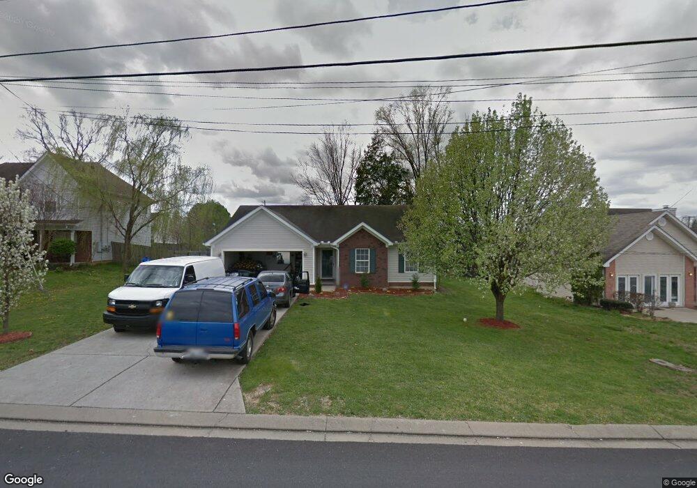
963 Lavergne Ln La Vergne, TN 37086
Estimated Value: $300,980 - $370,000
--
Bed
2
Baths
1,378
Sq Ft
$243/Sq Ft
Est. Value
About This Home
This home is located at 963 Lavergne Ln, La Vergne, TN 37086 and is currently estimated at $335,245, approximately $243 per square foot. 963 Lavergne Ln is a home located in Rutherford County with nearby schools including LaVergne Lake Elementary School, La Vergne Middle School, and Lavergne High School.
Ownership History
Date
Name
Owned For
Owner Type
Purchase Details
Closed on
Sep 26, 2016
Sold by
Home Sfr Borrower
Bought by
Home Sfr Borrower
Current Estimated Value
Purchase Details
Closed on
May 1, 2013
Sold by
Shreibman Amnon
Bought by
Rac 2 Llc
Purchase Details
Closed on
Mar 29, 2004
Sold by
Fergus Wana S
Bought by
Shreibman Amnon Trustee
Purchase Details
Closed on
Jul 11, 2000
Sold by
Nevils Enterprises Inc
Bought by
Fergus Wanda S
Create a Home Valuation Report for This Property
The Home Valuation Report is an in-depth analysis detailing your home's value as well as a comparison with similar homes in the area
Home Values in the Area
Average Home Value in this Area
Purchase History
| Date | Buyer | Sale Price | Title Company |
|---|---|---|---|
| Home Sfr Borrower | -- | None Available | |
| Rac 2 Llc | $2,450,000 | -- | |
| Shreibman Amnon Trustee | $122,000 | -- | |
| Fergus Wanda S | $120,790 | -- |
Source: Public Records
Tax History Compared to Growth
Tax History
| Year | Tax Paid | Tax Assessment Tax Assessment Total Assessment is a certain percentage of the fair market value that is determined by local assessors to be the total taxable value of land and additions on the property. | Land | Improvement |
|---|---|---|---|---|
| 2025 | $1,641 | $68,025 | $13,750 | $54,275 |
| 2024 | $1,641 | $68,025 | $13,750 | $54,275 |
| 2023 | $1,276 | $68,025 | $13,750 | $54,275 |
| 2022 | $1,099 | $68,025 | $13,750 | $54,275 |
| 2021 | $1,024 | $46,150 | $10,000 | $36,150 |
| 2020 | $1,024 | $46,150 | $10,000 | $36,150 |
| 2019 | $1,024 | $46,150 | $10,000 | $36,150 |
| 2018 | $1,297 | $46,150 | $0 | $0 |
| 2017 | $1,088 | $29,950 | $0 | $0 |
| 2016 | $1,088 | $29,950 | $0 | $0 |
| 2015 | $1,095 | $29,950 | $0 | $0 |
| 2014 | $745 | $29,950 | $0 | $0 |
| 2013 | -- | $30,850 | $0 | $0 |
Source: Public Records
Map
Nearby Homes
- 1813 Rory Cove
- 1710 Chris Dr
- 1626 Jo Ann Dr
- 1610 Jo Ann Dr
- 630 Holland Ridge Dr
- 607 Mable Dr
- 1529 Waxman Dr
- 396 Davids Way
- 800 Troy Cove
- 305 Carp Ct
- 221 Quiet Ln
- 311 Carp Ct
- 4441 Maxwell Rd
- ELSTON Plan at Percy Cove
- CALHOUN Plan at Percy Cove
- IRWIN Plan at Percy Cove
- EDMON Plan at Percy Cove
- BOWEN Plan at Percy Cove
- HARBOR Plan at Percy Cove
- ALAMOSA Plan at Percy Cove
- 961 Lavergne Ln
- 965 Lavergne Ln
- 1328 Nicole Ln
- 959 Lavergne Ln
- 1326 Nicole Ln
- 967 Lavergne Ln
- 954 Lavergne Ln
- 956 Lavergne Ln
- 552 Stones River Rd
- 958 Lavergne Ln
- 952 Lavergne Ln
- 1330 Nicole Ln
- 957 Lavergne Ln
- 1324 Nicole Ln
- 550 Stones River Rd
- 950 Lavergne Ln
- 960 Lavergne Ln
- 1332 Nicole Ln
- 955 Lavergne Ln
- 1322 Nicole Ln