9637 Bond Ridge Dr Redding, CA 96001
Centerville NeighborhoodEstimated Value: $442,000 - $486,876
3
Beds
3
Baths
1,876
Sq Ft
$249/Sq Ft
Est. Value
About This Home
This home is located at 9637 Bond Ridge Dr, Redding, CA 96001 and is currently estimated at $467,959, approximately $249 per square foot. 9637 Bond Ridge Dr is a home located in Shasta County with nearby schools including Manzanita Elementary School, Sequoia Middle School, and Shasta High School.
Ownership History
Date
Name
Owned For
Owner Type
Purchase Details
Closed on
May 21, 2013
Sold by
Anderson Cheryl R
Bought by
Anderson Glenn E and Anderson Cheryl R
Current Estimated Value
Purchase Details
Closed on
Nov 13, 2003
Sold by
Anderson Cheryl R and Gandy Cheryl
Bought by
Anderson Cheryl R
Create a Home Valuation Report for This Property
The Home Valuation Report is an in-depth analysis detailing your home's value as well as a comparison with similar homes in the area
Home Values in the Area
Average Home Value in this Area
Purchase History
| Date | Buyer | Sale Price | Title Company |
|---|---|---|---|
| Anderson Glenn E | -- | None Available | |
| Anderson Cheryl R | -- | -- |
Source: Public Records
Tax History
| Year | Tax Paid | Tax Assessment Tax Assessment Total Assessment is a certain percentage of the fair market value that is determined by local assessors to be the total taxable value of land and additions on the property. | Land | Improvement |
|---|---|---|---|---|
| 2025 | $4,347 | $427,848 | $159,134 | $268,714 |
| 2024 | $4,280 | $419,460 | $156,014 | $263,446 |
| 2023 | $4,280 | $411,236 | $152,955 | $258,281 |
| 2022 | $4,207 | $403,173 | $149,956 | $253,217 |
| 2021 | $4,186 | $395,268 | $147,016 | $248,252 |
| 2020 | $4,342 | $391,216 | $145,509 | $245,707 |
| 2019 | $4,126 | $383,546 | $142,656 | $240,890 |
| 2018 | $4,161 | $376,026 | $139,859 | $236,167 |
| 2017 | $4,140 | $368,654 | $137,117 | $231,537 |
| 2016 | $4,020 | $361,427 | $134,429 | $226,998 |
| 2015 | $3,971 | $355,999 | $132,410 | $223,589 |
| 2014 | $3,945 | $349,027 | $129,817 | $219,210 |
Source: Public Records
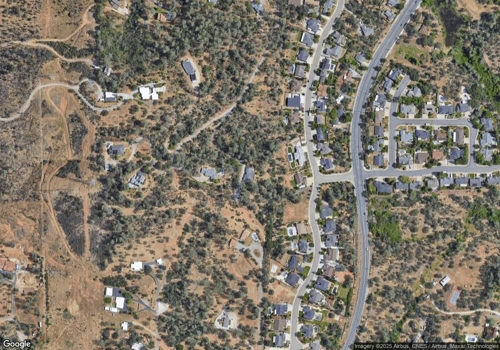
Map
Nearby Homes
- 4519 Nantucket Dr
- 0 Thompson Ln
- 1783 Record Ln
- 1974 Kildare Dr
- 4746 Tralee Ln
- 16520 Blarney Ln
- 4395 Carlow Way
- 1756 Mary Lake Dr
- 4125 Oro St
- 1695 Kildare Dr
- 9329 Irish Creek Ln
- 2358 Cumberland Dr
- 9380 Placer Rd
- 3882 Fujiyama Way
- 1513 Brinn Dr
- 0 Chaparral Dr
- 9472 Chaparral Dr
- 4648 Kilkee Dr
- 2318 Crescent Moon Ct
- 1426 Gladstone Ct
- 9603 Bond Ridge Rd Unit 1
- 9603 Bond Ridge Dr
- 4600 Lot11 Nantucket
- 4600 Nantucket Dr
- 4592 Nantucket Dr
- 4582 Nantucket
- 16734 Thompson Ln
- Lot 5 Nantucket Dr
- LOT 12 Nantucket Dr
- 4610 Nantucket Dr
- Lot # 42 Nantucket Dr
- Lot 32 Nantucket Dr
- Lot 31 Nantucket Dr
- Lot 44 Nantucket Dr
- Lot 35 Nantucket Dr
- Lot 3 Nantucket Dr
- Lot 36 Nantucket Dr
- Lot 29 Nantucket Dr
- Lot 34 Nantucket Dr
- 0 Nantucket Dr
Your Personal Tour Guide
Ask me questions while you tour the home.