Estimated Value: $234,082 - $270,000
3
Beds
2
Baths
1,580
Sq Ft
$160/Sq Ft
Est. Value
About This Home
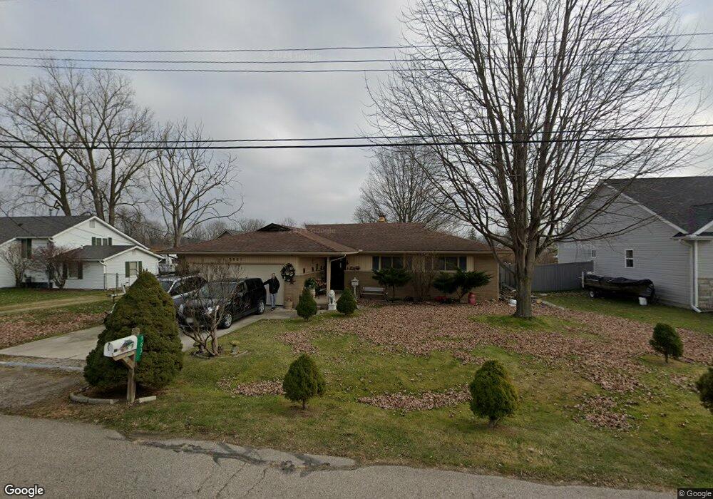
This home is located at 9637 Maynard Rd, Clay, MI 48001 and is currently estimated at $252,521, approximately $159 per square foot. 9637 Maynard Rd is a home located in St. Clair County.
Ownership History
Date
Name
Owned For
Owner Type
Purchase Details
Closed on
May 2, 2023
Sold by
Fontana David
Bought by
Fontana David M and Fontana Rhonda L
Current Estimated Value
Purchase Details
Closed on
Oct 24, 2012
Sold by
Fontana Carol
Bought by
Fontana David
Purchase Details
Closed on
Nov 17, 2006
Sold by
Burgess George N and Burgess Paula A
Bought by
Fontana David and Fontana Carol
Create a Home Valuation Report for This Property
The Home Valuation Report is an in-depth analysis detailing your home's value as well as a comparison with similar homes in the area
Home Values in the Area
Average Home Value in this Area
Purchase History
| Date | Buyer | Sale Price | Title Company |
|---|---|---|---|
| Fontana David M | -- | None Listed On Document | |
| Fontana David | -- | None Available | |
| Fontana David | $156,000 | None Available |
Source: Public Records
Tax History
| Year | Tax Paid | Tax Assessment Tax Assessment Total Assessment is a certain percentage of the fair market value that is determined by local assessors to be the total taxable value of land and additions on the property. | Land | Improvement |
|---|---|---|---|---|
| 2025 | $1,027 | $88,000 | $0 | $0 |
| 2024 | $1,008 | $86,600 | $0 | $0 |
| 2023 | $971 | $77,800 | $0 | $0 |
| 2022 | $1,735 | $72,000 | $0 | $0 |
| 2020 | $1,631 | $63,800 | $63,800 | $0 |
| 2019 | $1,608 | $59,700 | $0 | $0 |
| 2018 | $1,582 | $51,000 | $0 | $0 |
| 2017 | $1,455 | $45,400 | $0 | $0 |
| 2016 | $797 | $45,400 | $0 | $0 |
| 2015 | -- | $44,000 | $44,000 | $0 |
| 2014 | -- | $41,100 | $41,100 | $0 |
| 2013 | -- | $40,700 | $0 | $0 |
Source: Public Records
Map
Nearby Homes
- 9996 Tashmoo Ln Unit 2
- 9994 Tashmoo Ln Unit 3
- 9600 Anchor Dr Unit 108
- 9618 Seaway Dr Unit 42
- 9658 Seaway Dr Unit 91
- 9634 Seaway Dr Unit 38
- 0000 Taft Rd
- 7520 Colony Dr
- 7211 Audubon St
- 24 Vacant Lots Land
- 9084 Island Dr
- 7261 Bluebill St
- 9642 Meadowbrook St
- 2039 Golf Course Rd
- 7277 Cardinal St
- 7292 Bluebill Rd
- 7284 Cardinal St
- 6630 Holland St
- 00000 N Channel Dr
- 407-425 N Channel Dr
- 9637 Maynard Rd
- 0 Maynard Ct Unit 215044642
- 0 Maynard Ct Unit 216112329
- 0 Maynard Ct Unit 217098379
- 0 Maynard Ct Unit 215130964
- 0 Maynard Ct Unit 4382457
- 0 Maynard Ct Unit 4374499
- 0 Maynard Ct Unit 4523848
- 0 Maynard Ct Unit 862556
- 0 Maynard Ct Unit 4708946
- 0 Maynard Ct Unit 910426
- 0 Maynard Ct Unit 5544010
- 0 Maynard Ct Unit 31064202
- 0 Maynard Ct Unit 31154731
- 0 Maynard Ct Unit 31223628
- 9639 Maynard Dr
- 9635 Maynard Rd
- 5900 Pointe Tremble Rd
- 5900 Pointe Tremble Rd
- 5878 Pointe Tremble Rd
Your Personal Tour Guide
Ask me questions while you tour the home.