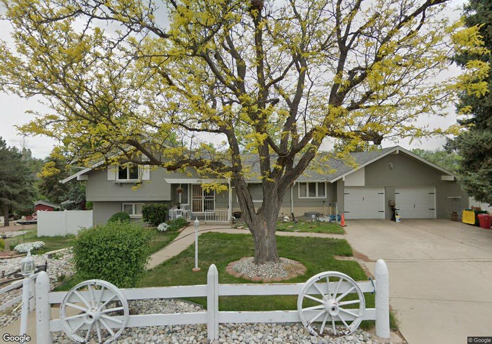
965 Front Range Rd Littleton, CO 80120
Heritage NeighborhoodEstimated Value: $847,000 - $1,446,000
Studio
4
Baths
2,021
Sq Ft
$573/Sq Ft
Est. Value
About This Home
This home is located at 965 Front Range Rd, Littleton, CO 80120 and is currently estimated at $1,157,436, approximately $572 per square foot. 965 Front Range Rd is a home located in Arapahoe County with nearby schools including Runyon Elementary School, Euclid Middle School, and Heritage High School.
Ownership History
Date
Name
Owned For
Owner Type
Purchase Details
Closed on
Dec 26, 2025
Sold by
Rolling Lori R
Bought by
965 Front Range Road Llc
Current Estimated Value
Purchase Details
Closed on
Jul 11, 2022
Sold by
Rolling Lori R
Bought by
Nkj Trust
Purchase Details
Closed on
Jul 31, 2020
Sold by
Anderson John M and Shirley K Shelton Revocable Tr
Bought by
Rolling Lori R
Purchase Details
Closed on
Mar 8, 2017
Sold by
Anderson John M and Estate Of Shirley K Shelton
Bought by
Shirley K Shelton Revocable Trust
Purchase Details
Closed on
Jul 4, 1776
Bought by
Conversion Arapco
Create a Home Valuation Report for This Property
The Home Valuation Report is an in-depth analysis detailing your home's value as well as a comparison with similar homes in the area
Home Values in the Area
Average Home Value in this Area
Purchase History
| Date | Buyer | Sale Price | Title Company |
|---|---|---|---|
| 965 Front Range Road Llc | -- | None Listed On Document | |
| 965 Front Range Road Llc | -- | None Listed On Document | |
| Nkj Trust | -- | -- | |
| Rolling Lori R | -- | None Available | |
| Shirley K Shelton Revocable Trust | -- | None Available | |
| Conversion Arapco | -- | -- |
Source: Public Records
Tax History
| Year | Tax Paid | Tax Assessment Tax Assessment Total Assessment is a certain percentage of the fair market value that is determined by local assessors to be the total taxable value of land and additions on the property. | Land | Improvement |
|---|---|---|---|---|
| 2025 | $7,848 | $77,294 | -- | -- |
| 2024 | $7,339 | $76,749 | -- | -- |
| 2023 | $7,339 | $76,749 | $0 | $0 |
| 2022 | $5,888 | $57,998 | $0 | $0 |
| 2021 | $5,957 | $57,998 | $0 | $0 |
| 2020 | $5,273 | $53,589 | $0 | $0 |
| 2019 | $4,960 | $53,589 | $0 | $0 |
| 2018 | $4,262 | $48,931 | $0 | $0 |
| 2017 | $3,949 | $48,931 | $0 | $0 |
| 2016 | $3,853 | $53,833 | $0 | $0 |
| 2015 | $3,863 | $53,833 | $0 | $0 |
| 2014 | -- | $41,790 | $0 | $0 |
| 2013 | -- | $45,000 | $0 | $0 |
Source: Public Records
Map
Nearby Homes
- 7252 S Costilla St
- 7132 S Bryant St Unit 232
- 7132 S Bryant St Unit 231
- 7019 S Windermere St
- 2805 W Davies Dr
- 7120 S Clay St
- 7475 S Houstoun Waring Cir
- 2480 W Jamison Way
- 7604 S Datura Cir W
- 2783 W Long Dr Unit B
- 3004 W Long Dr Unit B
- 7751 S Curtice Dr Unit F
- 2980 W Long Dr Unit B
- 1148 W Hinsdale Dr
- 2002 W Ridge Rd
- 7743 S Nevada Dr
- 7771 S Curtice Dr Unit A
- 6483 S Sycamore St
- 6521 S Cedar St
- 2871 W Long Dr Unit A
- 7190 S Prince St
- 985 Front Range Rd
- 955 Front Range Rd
- 7150 S Prince St
- 995 Front Range Rd
- 945 Front Range Rd
- 900 Front Range Rd
- 7200 S Prince St
- 925 Front Range Rd
- 970 Front Range Rd
- 7088 S Prince St
- 940 Front Range Rd
- 980 Front Range Rd
- 2414 Park Ln
- 930 Front Range Rd
- 2424 Park Ln
- 2413 W Houstoun Waring Cir
- 7230 S Prince St
- 2415 Park Ln
- 2415 Park Ln Unit 197
Your Personal Tour Guide
Ask me questions while you tour the home.