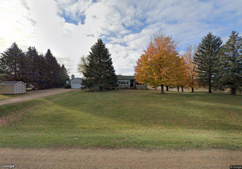
9655 102nd St Waconia, MN 55387
Estimated Value: $349,891 - $433,000
2
Beds
1
Bath
1,297
Sq Ft
$302/Sq Ft
Est. Value
About This Home
This home is located at 9655 102nd St, Waconia, MN 55387 and is currently estimated at $392,223, approximately $302 per square foot. 9655 102nd St is a home located in Carver County with nearby schools including Southview Elementary School, Waconia Middle School, and Waconia High School.
Ownership History
Date
Name
Owned For
Owner Type
Purchase Details
Closed on
Nov 22, 2005
Sold by
Goetz Lee A and Goetz Lyle S
Bought by
Goetz Lyle and Goetz Lyle
Current Estimated Value
Home Financials for this Owner
Home Financials are based on the most recent Mortgage that was taken out on this home.
Original Mortgage
$125,000
Interest Rate
6.2%
Mortgage Type
New Conventional
Create a Home Valuation Report for This Property
The Home Valuation Report is an in-depth analysis detailing your home's value as well as a comparison with similar homes in the area
Home Values in the Area
Average Home Value in this Area
Purchase History
| Date | Buyer | Sale Price | Title Company |
|---|---|---|---|
| Goetz Lyle | $250,000 | -- |
Source: Public Records
Mortgage History
| Date | Status | Borrower | Loan Amount |
|---|---|---|---|
| Closed | Goetz Lyle | $125,000 |
Source: Public Records
Tax History Compared to Growth
Tax History
| Year | Tax Paid | Tax Assessment Tax Assessment Total Assessment is a certain percentage of the fair market value that is determined by local assessors to be the total taxable value of land and additions on the property. | Land | Improvement |
|---|---|---|---|---|
| 2025 | $2,660 | $297,300 | $147,300 | $150,000 |
| 2024 | $2,618 | $301,700 | $142,500 | $159,200 |
| 2023 | $2,546 | $303,600 | $142,500 | $161,100 |
| 2022 | $2,570 | $297,400 | $142,600 | $154,800 |
| 2021 | $2,550 | $248,900 | $109,200 | $139,700 |
| 2020 | $2,270 | $248,900 | $109,200 | $139,700 |
| 2019 | $2,172 | $217,300 | $99,700 | $117,600 |
| 2018 | $1,866 | $217,300 | $99,700 | $117,600 |
| 2017 | $1,590 | $203,400 | $93,100 | $110,300 |
| 2016 | $1,568 | $156,700 | $0 | $0 |
| 2015 | $1,432 | $143,700 | $0 | $0 |
| 2014 | $1,432 | $126,300 | $0 | $0 |
Source: Public Records
Map
Nearby Homes
- 1843 Campfire Dr E
- 1851 Campfire Dr E
- 2040 Fountain Ln
- 1958 Campfire Dr E
- 1954 Campfire Dr E
- 1774 Campfire Dr W
- 1767 Campfire Dr W
- 1956 Campfire Dr E
- 1951 Woods Point
- Shadowood Plan at Woodland Creek
- Legend Plan at Woodland Creek
- 1887 Campfire Dr W
- 1617 Island Ct
- 10080 County Road 140
- 629 Sierra Pkwy
- 152 Mill Rd
- 565 Waterford Place
- 1647 Raymond Dr
- 124 Mill Rd
- 561 Waterford Place
- 9615 102nd St
- 9585 102nd St
- 9855 102nd St
- 9780 102nd St
- 10235 Cannon Woods Trail
- 10345 Cannon Woods Trail
- 10325 Cannon Woods Trail
- 9975 102nd St
- 9960 102nd St
- 10400 Little Ave
- XXX Cannon Woods Trail
- 1XX Little Ave
- 10275 Little Ave
- 10550 Little Ave
- 9455 102nd St
- 10560 Little Ave
- 10155 102nd St
- 2105 Diamond Point
- 10620 Little Ave
- 10580 Little Ave