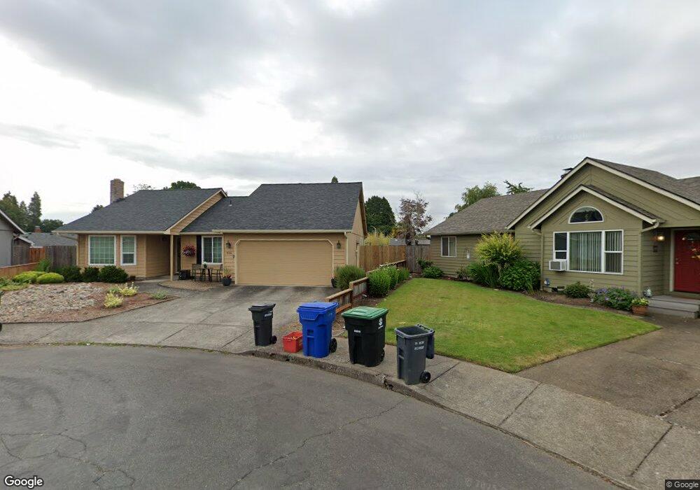
966 Eastwind Ct N Keizer, OR 97303
Estimated Value: $406,000 - $461,000
3
Beds
2
Baths
1,332
Sq Ft
$319/Sq Ft
Est. Value
About This Home
This home is located at 966 Eastwind Ct N, Keizer, OR 97303 and is currently estimated at $424,416, approximately $318 per square foot. 966 Eastwind Ct N is a home located in Marion County with nearby schools including Cummings Elementary School, Claggett Creek Middle School, and McNary High School.
Ownership History
Date
Name
Owned For
Owner Type
Purchase Details
Closed on
Nov 6, 2024
Sold by
Olson Galen A and Olson Kathleen M
Bought by
Galen A And Kathleen M Olson Family Trust and Olson
Current Estimated Value
Purchase Details
Closed on
Jan 3, 2005
Sold by
Kramer Deanna K
Bought by
Olson Galen A and Olson Kathleen M
Home Financials for this Owner
Home Financials are based on the most recent Mortgage that was taken out on this home.
Original Mortgage
$117,200
Interest Rate
5.7%
Mortgage Type
Purchase Money Mortgage
Create a Home Valuation Report for This Property
The Home Valuation Report is an in-depth analysis detailing your home's value as well as a comparison with similar homes in the area
Home Values in the Area
Average Home Value in this Area
Purchase History
| Date | Buyer | Sale Price | Title Company |
|---|---|---|---|
| Galen A And Kathleen M Olson Family Trust | -- | None Listed On Document | |
| Olson Galen A | $147,000 | Ticor Title |
Source: Public Records
Mortgage History
| Date | Status | Borrower | Loan Amount |
|---|---|---|---|
| Previous Owner | Olson Galen A | $117,200 |
Source: Public Records
Tax History Compared to Growth
Tax History
| Year | Tax Paid | Tax Assessment Tax Assessment Total Assessment is a certain percentage of the fair market value that is determined by local assessors to be the total taxable value of land and additions on the property. | Land | Improvement |
|---|---|---|---|---|
| 2025 | $3,415 | $205,900 | -- | -- |
| 2024 | $3,415 | $199,910 | -- | -- |
| 2023 | $3,251 | $194,090 | $0 | $0 |
| 2022 | $3,061 | $188,440 | $0 | $0 |
| 2021 | $2,964 | $182,960 | $0 | $0 |
| 2020 | $2,886 | $177,640 | $0 | $0 |
| 2019 | $2,775 | $172,470 | $0 | $0 |
| 2018 | $2,827 | $0 | $0 | $0 |
| 2017 | $2,539 | $0 | $0 | $0 |
| 2016 | $2,431 | $0 | $0 | $0 |
| 2015 | $2,443 | $0 | $0 | $0 |
| 2014 | $2,353 | $0 | $0 | $0 |
Source: Public Records
Map
Nearby Homes
- 1038 Juniper St N
- 4937 Chehalis Ct N
- 724 Lost Ln N
- 5092 Newberg Dr N
- 870 Rafael Ave N
- 550 Churchdale Ave N Unit 570
- 5129 Lacey St N
- 521 Chemawa Rd N
- 5219 Lacey Ct N
- 459 Churchdale Ave N
- 712 Max Ct N
- 430 Chemawa Rd N
- 733 Max Ct N
- 1242 Lydia Ave N
- 5084 Briarwood Cir N
- 5084 Briarwood Cir N Unit 8
- 5082 Briarwood Cir N
- 5082 Briarwood Cir N Unit 9
- 4911 15th Ave N
- 1139 Cynthia Ct N
- 976 Eastwind Ct N
- 4959 Shoreline Dr N
- 967 Eastwind Ct N
- 979 Juniper St N
- 4979 Shoreline Dr N
- 986 Eastwind Ct N
- 4949 Shoreline Dr N
- 977 Eastwind Ct N
- 969 Juniper St N
- 987 Eastwind Ct N
- 989 Juniper St N
- 996 Eastwind Ct N
- 4919 Shoreline Dr N
- 4989 Shoreline Dr N
- 997 Eastwind Ct N
- 968 Juniper St N
- 1006 Eastwind Ct N
- 978 Leeward Ct N
- 988 Leeward Ct N