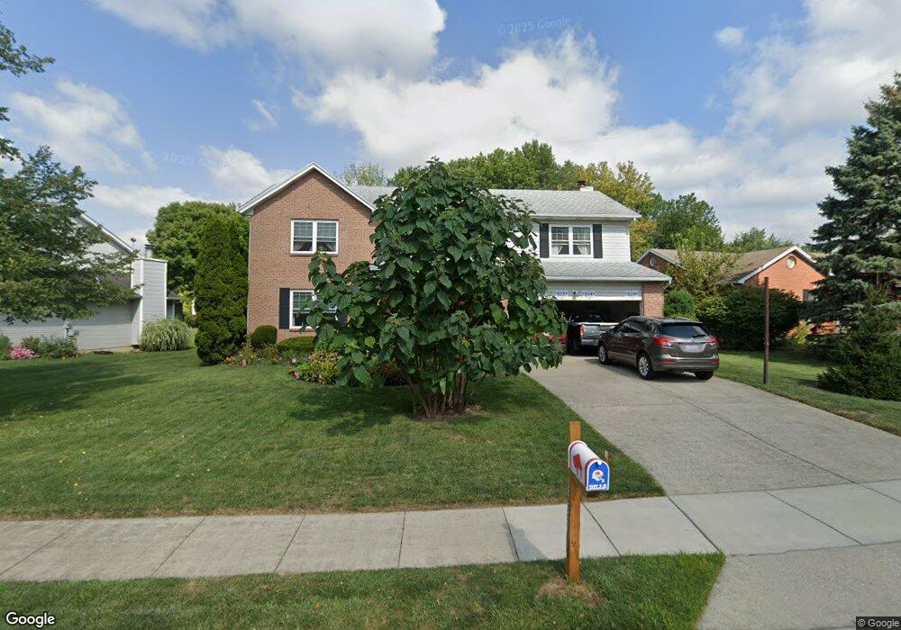
967 Carson Dr Lebanon, OH 45036
Estimated Value: $376,000 - $484,000
4
Beds
3
Baths
2,454
Sq Ft
$169/Sq Ft
Est. Value
About This Home
This home is located at 967 Carson Dr, Lebanon, OH 45036 and is currently estimated at $414,248, approximately $168 per square foot. 967 Carson Dr is a home located in Warren County with nearby schools including Bowman Primary School, Berry Intermediate School, and Donovan Elementary School.
Ownership History
Date
Name
Owned For
Owner Type
Purchase Details
Closed on
Feb 6, 1992
Sold by
Monogram Building & Desig
Bought by
Gorski and Gorski Dennis M
Current Estimated Value
Purchase Details
Closed on
Sep 24, 1991
Sold by
Wrs Associates & Ptnr
Bought by
Monogram Building & Desig
Purchase Details
Closed on
Dec 13, 1990
Sold by
Wrs Associates & Ptnr
Bought by
W.R.S. Associates & Ptnr.
Create a Home Valuation Report for This Property
The Home Valuation Report is an in-depth analysis detailing your home's value as well as a comparison with similar homes in the area
Home Values in the Area
Average Home Value in this Area
Purchase History
| Date | Buyer | Sale Price | Title Company |
|---|---|---|---|
| Gorski | $125,000 | -- | |
| Monogram Building & Desig | $22,200 | -- | |
| W.R.S. Associates & Ptnr. | -- | -- |
Source: Public Records
Tax History Compared to Growth
Tax History
| Year | Tax Paid | Tax Assessment Tax Assessment Total Assessment is a certain percentage of the fair market value that is determined by local assessors to be the total taxable value of land and additions on the property. | Land | Improvement |
|---|---|---|---|---|
| 2024 | $4,332 | $104,330 | $21,000 | $83,330 |
| 2023 | $3,910 | $84,598 | $10,762 | $73,836 |
| 2022 | $4,075 | $84,599 | $10,763 | $73,836 |
| 2021 | $3,852 | $84,599 | $10,763 | $73,836 |
| 2020 | $3,708 | $68,779 | $8,750 | $60,029 |
| 2019 | $3,725 | $68,779 | $8,750 | $60,029 |
| 2018 | $3,192 | $68,779 | $8,750 | $60,029 |
| 2017 | $3,088 | $59,703 | $7,732 | $51,972 |
| 2016 | $3,186 | $59,703 | $7,732 | $51,972 |
| 2015 | $3,209 | $59,703 | $7,732 | $51,972 |
| 2014 | $3,342 | $59,700 | $7,730 | $51,970 |
| 2013 | $3,215 | $67,580 | $8,750 | $58,830 |
Source: Public Records
Map
Nearby Homes
- 409 Bethpage Way Unit 7-301
- 5 Acres Ave
- 409 Bethpage Way
- 5 Acres Lot D Phillips Rd
- 364 Grey's Run
- 376 Grey's Run
- 351 Grey's Run
- 901 Katherine Ave
- 1443 N Broadway St
- 1032 Reveres Run
- 1 Dryhill Ct
- 764 Lake Bluff (Lot 1) Ct
- 760 Lake Bluff (Lot 2) Ct
- 11 Roxie Ct
- 759 Lake Bluff (Lot 12) Ct
- 660 Carson Dr
- 756 Lake Bluff (Lot 3) Ct
- 755 Lake Bluff (Lot 11) Ct
- 751 Lake Bluff Ct
- 743 Lake Bluff Ct
- 963 Carson Dr
- 975 Carson Dr
- 983 Carson Dr
- 512 Patterson Ct
- 959 Carson Dr
- 516 Patterson Ct
- 966 Carson Dr
- 970 Carson Dr
- 962 Carson Dr
- 8676 Tollhouse Blvd
- acre Wood & Phillips Rd Unit Lot C
- A & B Desales Ave
- 5.19ac Township Line Rd
- 20.8ac Liberty Keuter Rd
- A&B Harvard Dr
- A & B Green Ct
- B Nelson Dr
- 15.14ac Phillips Rd
- Parcel I.D 080730004 Greentree Rd
- 316388 N Route 42