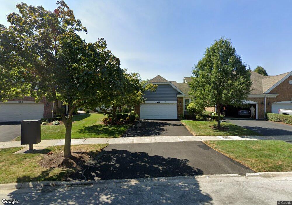
967 Heathrow Ln Naperville, IL 60540
West Wind NeighborhoodEstimated Value: $407,802 - $512,000
2
Beds
2
Baths
1,522
Sq Ft
$291/Sq Ft
Est. Value
About This Home
This home is located at 967 Heathrow Ln, Naperville, IL 60540 and is currently estimated at $443,201, approximately $291 per square foot. 967 Heathrow Ln is a home located in DuPage County with nearby schools including May Watts Elementary School, Thayer J. Hill Middle School, and Metea Valley High School.
Ownership History
Date
Name
Owned For
Owner Type
Purchase Details
Closed on
Oct 26, 1994
Sold by
Kapper Suzan L
Bought by
Chicago Title & Trust Company
Current Estimated Value
Home Financials for this Owner
Home Financials are based on the most recent Mortgage that was taken out on this home.
Original Mortgage
$75,000
Interest Rate
7.62%
Create a Home Valuation Report for This Property
The Home Valuation Report is an in-depth analysis detailing your home's value as well as a comparison with similar homes in the area
Home Values in the Area
Average Home Value in this Area
Purchase History
| Date | Buyer | Sale Price | Title Company |
|---|---|---|---|
| Chicago Title & Trust Company | $183,500 | -- |
Source: Public Records
Mortgage History
| Date | Status | Borrower | Loan Amount |
|---|---|---|---|
| Closed | Chicago Title & Trust Company | $75,000 |
Source: Public Records
Tax History
| Year | Tax Paid | Tax Assessment Tax Assessment Total Assessment is a certain percentage of the fair market value that is determined by local assessors to be the total taxable value of land and additions on the property. | Land | Improvement |
|---|---|---|---|---|
| 2024 | $7,366 | $134,015 | $37,204 | $96,811 |
| 2023 | $6,982 | $120,420 | $33,430 | $86,990 |
| 2022 | $7,292 | $117,700 | $32,430 | $85,270 |
| 2021 | $7,046 | $113,500 | $31,270 | $82,230 |
| 2020 | $7,036 | $113,500 | $31,270 | $82,230 |
| 2019 | $6,736 | $107,950 | $29,740 | $78,210 |
| 2018 | $5,703 | $91,570 | $24,750 | $66,820 |
| 2017 | $5,885 | $88,460 | $23,910 | $64,550 |
| 2016 | $5,772 | $84,900 | $22,950 | $61,950 |
| 2015 | $5,709 | $80,610 | $21,790 | $58,820 |
| 2014 | $5,531 | $75,780 | $20,330 | $55,450 |
| 2013 | $5,520 | $76,300 | $20,470 | $55,830 |
Source: Public Records
Map
Nearby Homes
- 1269 Rhodes Ln Unit 1306
- 1246 Ardmore Dr
- 854 Raintree Dr
- 816 S River Rd
- 808 Shiloh Cir
- 840 Mobile Ct
- 833 Havenshire Rd Unit 833
- 1033 Emerald Dr
- 817 Cardiff Rd
- 731 S River Rd
- 7S410 Arbor Dr
- 316 Hemlock Ln
- 1028 Whitewater Ln
- 615 Windridge Ct
- 534 Grimes Ave
- 845 Tulip Ln
- 1524 Oswego Rd
- 1447 Baldwin Ct
- 1095 Devonshire Ave
- 7S146 Wild Cherry Rd
- 965 Heathrow Ln
- 963 Heathrow Ln
- 969 Heathrow Ln
- 961 Heathrow Ln
- 973 Heathrow Ln
- 1247 Rhodes Ln Unit 1101
- 1233 Rhodes Ln Unit 1108
- 1231 Rhodes Ln Unit 1001
- 1219 Rhodes Ln Unit 1007
- 1237 Rhodes Ln Unit 1106
- 1239 Rhodes Ln Unit 1105
- 1243 Rhodes Ln Unit 1103
- 1241 Rhodes Ln Unit 1104
- 1243 Rhodes Ln Unit 1243
- 1239 Rhodes Ln Unit 1239
- 1221 Rhodes Ln Unit 1006
- 975 Heathrow Ln
- 1235 Rhodes Ln Unit 1107
- 1217 Rhodes Ln Unit 1008
- 1229 Rhodes Ln Unit 1002
Your Personal Tour Guide
Ask me questions while you tour the home.