967 Worsham Rd Culloden, GA 31016
Estimated Value: $188,168 - $283,000
--
Bed
1
Bath
1,112
Sq Ft
$205/Sq Ft
Est. Value
About This Home
This home is located at 967 Worsham Rd, Culloden, GA 31016 and is currently estimated at $228,389, approximately $205 per square foot. 967 Worsham Rd is a home located in Monroe County with nearby schools including Samuel E. Hubbard Elementary School and Mary Persons High School.
Ownership History
Date
Name
Owned For
Owner Type
Purchase Details
Closed on
Sep 19, 2025
Sold by
Hardaway Dorothy J
Bought by
Walker Amari Keith
Current Estimated Value
Purchase Details
Closed on
Sep 15, 2025
Sold by
Jones Wesley Lee
Bought by
Hardaway Dorothy J
Purchase Details
Closed on
Dec 27, 2024
Sold by
Jones Wesley Lee
Bought by
Hardaway Dorothy J
Purchase Details
Closed on
Feb 1, 2024
Sold by
Jones Wesley Lee
Bought by
Bledsoe Waveka J
Purchase Details
Closed on
Jan 17, 2024
Sold by
Jones Lula Mae
Bought by
Jones Wesley Lee
Purchase Details
Closed on
Dec 16, 1983
Bought by
Jones Lula Mae
Create a Home Valuation Report for This Property
The Home Valuation Report is an in-depth analysis detailing your home's value as well as a comparison with similar homes in the area
Home Values in the Area
Average Home Value in this Area
Purchase History
| Date | Buyer | Sale Price | Title Company |
|---|---|---|---|
| Walker Amari Keith | $30,000 | -- | |
| Hardaway Dorothy J | -- | -- | |
| Hardaway Dorothy J | -- | -- | |
| Bledsoe Waveka J | -- | -- | |
| Jones Wesley Lee | -- | -- | |
| Jones Lula Mae | -- | -- |
Source: Public Records
Tax History Compared to Growth
Tax History
| Year | Tax Paid | Tax Assessment Tax Assessment Total Assessment is a certain percentage of the fair market value that is determined by local assessors to be the total taxable value of land and additions on the property. | Land | Improvement |
|---|---|---|---|---|
| 2024 | $903 | $64,684 | $50,680 | $14,004 |
| 2023 | $0 | $62,564 | $50,680 | $11,884 |
| 2022 | $1,753 | $62,564 | $50,680 | $11,884 |
| 2021 | $625 | $62,564 | $50,680 | $11,884 |
| 2020 | $1,798 | $62,564 | $50,680 | $11,884 |
| 2019 | $1,812 | $62,564 | $50,680 | $11,884 |
| 2018 | $0 | $62,564 | $50,680 | $11,884 |
| 2017 | $1,821 | $62,644 | $50,760 | $11,884 |
| 2016 | -- | $62,644 | $50,760 | $11,884 |
| 2015 | $0 | $62,644 | $50,760 | $11,884 |
| 2014 | $0 | $62,644 | $50,760 | $11,884 |
Source: Public Records
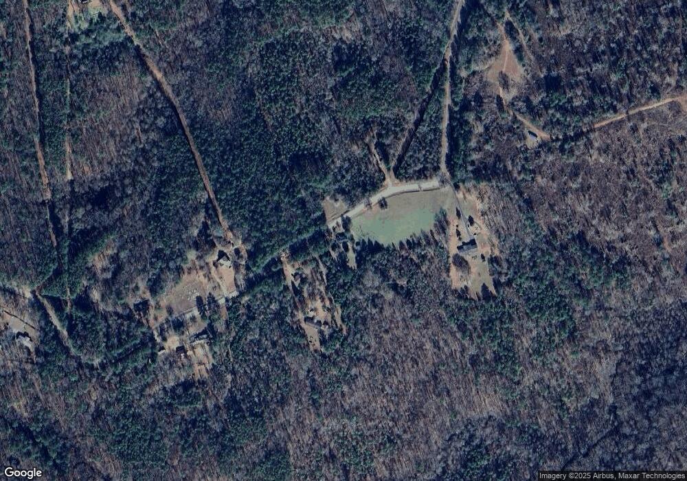
Map
Nearby Homes
- 1721 Old Zebulon Rd
- 737 Pine Grove Church Rd
- 0 Abercrombie Rd Unit 24572833
- 5588 Ga Highway 42 S Unit LOT 3
- 305 Zellner Rd
- 0 Pine Grove Church Rd Unit LOT 2 10525757
- 0 Pine Grove Church Rd Unit LOT 1 10525767
- 0 Pine Grove Church Rd Unit 10645071
- 0 Pine Grove Church Rd Unit 25571715
- 355 Dumas Rd
- 0 Ramah Church Rd Unit 10480661
- 0 Ramah Church Rd Unit 7542675
- TRACT A Russellville Rd
- TRACT B Russellville Rd
- 519 Barbara Ct
- 271 Presidents Way
- 266 Presidents Way
- 4866 Hwy 42 S
- 0 Old Zebulon Rd Unit 25091896
- 0 Old Zebulon Rd Unit 25062362