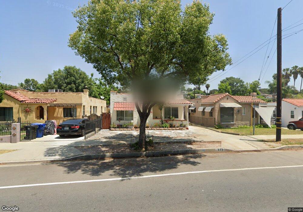
968 El Paso Dr Los Angeles, CA 90042
Estimated Value: $975,000 - $1,250,000
2
Beds
1
Bath
1,126
Sq Ft
$958/Sq Ft
Est. Value
About This Home
This home is located at 968 El Paso Dr, Los Angeles, CA 90042 and is currently estimated at $1,078,651, approximately $957 per square foot. 968 El Paso Dr is a home located in Los Angeles County with nearby schools including Buchanan Street Elementary, Benjamin Franklin High School, and Luther Burbank Middle School.
Ownership History
Date
Name
Owned For
Owner Type
Purchase Details
Closed on
May 23, 2016
Sold by
Palacios Jorge
Bought by
Palacios Claudia
Current Estimated Value
Purchase Details
Closed on
Jan 31, 1994
Sold by
Colonial National Bank
Bought by
Palacios Alberto and Palacios Jorge
Home Financials for this Owner
Home Financials are based on the most recent Mortgage that was taken out on this home.
Original Mortgage
$112,400
Interest Rate
7%
Purchase Details
Closed on
Sep 1, 1993
Sold by
Foreclosure Consultants Inc
Bought by
Colonial National Bank Usa
Create a Home Valuation Report for This Property
The Home Valuation Report is an in-depth analysis detailing your home's value as well as a comparison with similar homes in the area
Home Values in the Area
Average Home Value in this Area
Purchase History
| Date | Buyer | Sale Price | Title Company |
|---|---|---|---|
| Palacios Claudia | -- | None Available | |
| Palacios Jorge | -- | None Available | |
| Palacios Alberto | $125,000 | Gateway Title | |
| Palacios Alberto | -- | Gateway Title | |
| Colonial National Bank Usa | $120,000 | Fidelity National Title |
Source: Public Records
Mortgage History
| Date | Status | Borrower | Loan Amount |
|---|---|---|---|
| Closed | Palacios Alberto | $112,400 |
Source: Public Records
Tax History Compared to Growth
Tax History
| Year | Tax Paid | Tax Assessment Tax Assessment Total Assessment is a certain percentage of the fair market value that is determined by local assessors to be the total taxable value of land and additions on the property. | Land | Improvement |
|---|---|---|---|---|
| 2025 | $6,640 | $552,362 | $416,562 | $135,800 |
| 2024 | $6,640 | $541,533 | $408,395 | $133,138 |
| 2023 | $6,511 | $530,916 | $400,388 | $130,528 |
| 2022 | $6,207 | $520,507 | $392,538 | $127,969 |
| 2021 | $6,128 | $510,302 | $384,842 | $125,460 |
| 2019 | $5,943 | $495,168 | $373,428 | $121,740 |
| 2018 | $5,859 | $485,459 | $366,106 | $119,353 |
| 2016 | $2,171 | $179,450 | $135,385 | $44,065 |
| 2015 | $2,140 | $176,756 | $133,352 | $43,404 |
| 2014 | $2,153 | $173,294 | $130,740 | $42,554 |
Source: Public Records
Map
Nearby Homes
- 925 927 El Paso Dr
- 4824 Toland Way
- 4780 Hub St
- 4844 San Rafael Ave
- 1017 Dexter St
- 1087 Oneonta Dr
- 865 N Avenue 50
- 1336 Armadale Ave
- 4854 Buchanan St
- 1048 Dexter St
- 1037 N Avenue 50
- 787 Terrace 49
- 4654 Toland Way
- 1113 N Avenue 50
- 917 N Avenue 51
- 4500 Mont Eagle Place
- 4925 Buchanan St
- 4623 Jessica Dr
- 4312 Division St
- 768 N Avenue 50
- 964 El Paso Dr
- 972 El Paso Dr
- 960 El Paso Dr
- 974 El Paso Dr
- 4802 Bamford Place
- 4804 Bamford Place
- 956 El Paso Dr
- 4808 Bamford Place
- 984 El Paso Dr
- 4814 Bamford Place
- 901 North Avenue 49
- 986 El Paso Dr
- 911 North Avenue 49
- 4800 Bamford Place
- 4818 Bamford Place
- 915 North Avenue 49
- 971 El Paso Dr
- 969 El Paso Dr
- 973 El Paso Dr
- 4801 Bamford Place