Estimated Value: $544,000 - $714,000
6
Beds
3
Baths
2,625
Sq Ft
$251/Sq Ft
Est. Value
About This Home
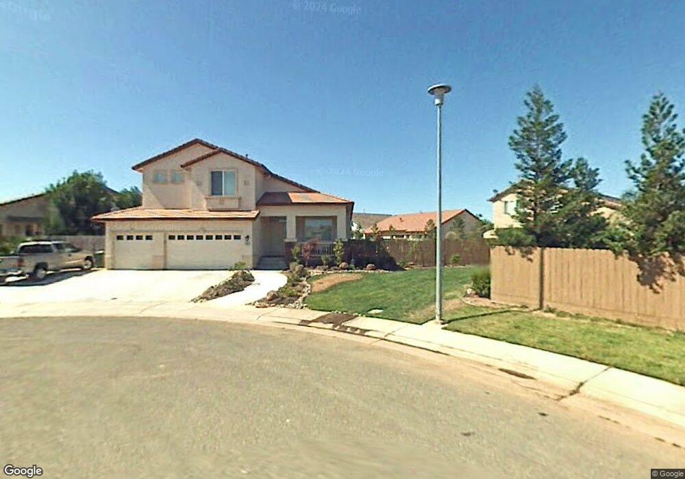
This home is located at 969 Duncraig Way, Galt, CA 95632 and is currently estimated at $659,820, approximately $251 per square foot. 969 Duncraig Way is a home located in Sacramento County with nearby schools including Marengo Ranch Elementary School, Robert L. McCaffrey Middle School, and Liberty Ranch High School.
Ownership History
Date
Name
Owned For
Owner Type
Purchase Details
Closed on
Feb 12, 2002
Sold by
Elliott Homes Inc
Bought by
Martin Jonathan and Martin Mischele
Current Estimated Value
Home Financials for this Owner
Home Financials are based on the most recent Mortgage that was taken out on this home.
Original Mortgage
$245,200
Outstanding Balance
$101,889
Interest Rate
7.13%
Estimated Equity
$557,931
Create a Home Valuation Report for This Property
The Home Valuation Report is an in-depth analysis detailing your home's value as well as a comparison with similar homes in the area
Home Values in the Area
Average Home Value in this Area
Purchase History
| Date | Buyer | Sale Price | Title Company |
|---|---|---|---|
| Martin Jonathan | $272,500 | Stewart Title |
Source: Public Records
Mortgage History
| Date | Status | Borrower | Loan Amount |
|---|---|---|---|
| Open | Martin Jonathan | $245,200 |
Source: Public Records
Tax History Compared to Growth
Tax History
| Year | Tax Paid | Tax Assessment Tax Assessment Total Assessment is a certain percentage of the fair market value that is determined by local assessors to be the total taxable value of land and additions on the property. | Land | Improvement |
|---|---|---|---|---|
| 2025 | $4,883 | $433,657 | $73,854 | $359,803 |
| 2024 | $4,883 | $425,155 | $72,406 | $352,749 |
| 2023 | $5,065 | $416,820 | $70,987 | $345,833 |
| 2022 | $4,876 | $408,648 | $69,596 | $339,052 |
| 2021 | $4,881 | $400,636 | $68,232 | $332,404 |
| 2020 | $4,844 | $396,529 | $67,533 | $328,996 |
| 2019 | $4,733 | $388,755 | $66,209 | $322,546 |
| 2018 | $4,726 | $381,133 | $64,911 | $316,222 |
| 2017 | $4,556 | $373,661 | $63,639 | $310,022 |
| 2016 | $4,412 | $366,336 | $62,392 | $303,944 |
| 2015 | $4,565 | $360,834 | $61,455 | $299,379 |
| 2014 | $4,567 | $353,767 | $60,252 | $293,515 |
Source: Public Records
Map
Nearby Homes
- 978 Park Terrace Dr
- 1026 Breakers Dr
- 953 Posey St
- 973 Posey St
- 1014 Marina Bay Ct
- 1078 Ranford Ct
- 799 Lake Park Cir
- 1054 Starbrook Dr
- 908 Wildbrook Ct
- 1115 Bellawood Dr
- 1129 Bellawood Dr
- 1119 Bellawood Dr
- 1127 Bellawood Dr
- Creekside Plan 2 at Parlin Oaks
- Creekside Plan 1 at Parlin Oaks
- 1500 Adams St
- 1517 Billorights Ave
- 753 Whitaker Way
- 1516 Billorights Ave
- 1521 Billorights Ave
- 989 Lampard Way
- 966 Caversham Way
- 970 Caversham Way
- 985 Lampard Way
- 993 Lampard Way
- 1011 Malton Way
- 974 Caversham Way
- 1015 Malton Way
- 997 Lampard Way
- 966 Duncraig Way
- 981 Lampard Way
- 1001 Lampard Way
- 962 Duncraig Way
- 965 Caversham Way
- 969 Caversham Way
- 1019 Malton Way
- 986 Lampard Way
- 1003 Elk Hills Dr
- 982 Lampard Way
- 973 Caversham Way