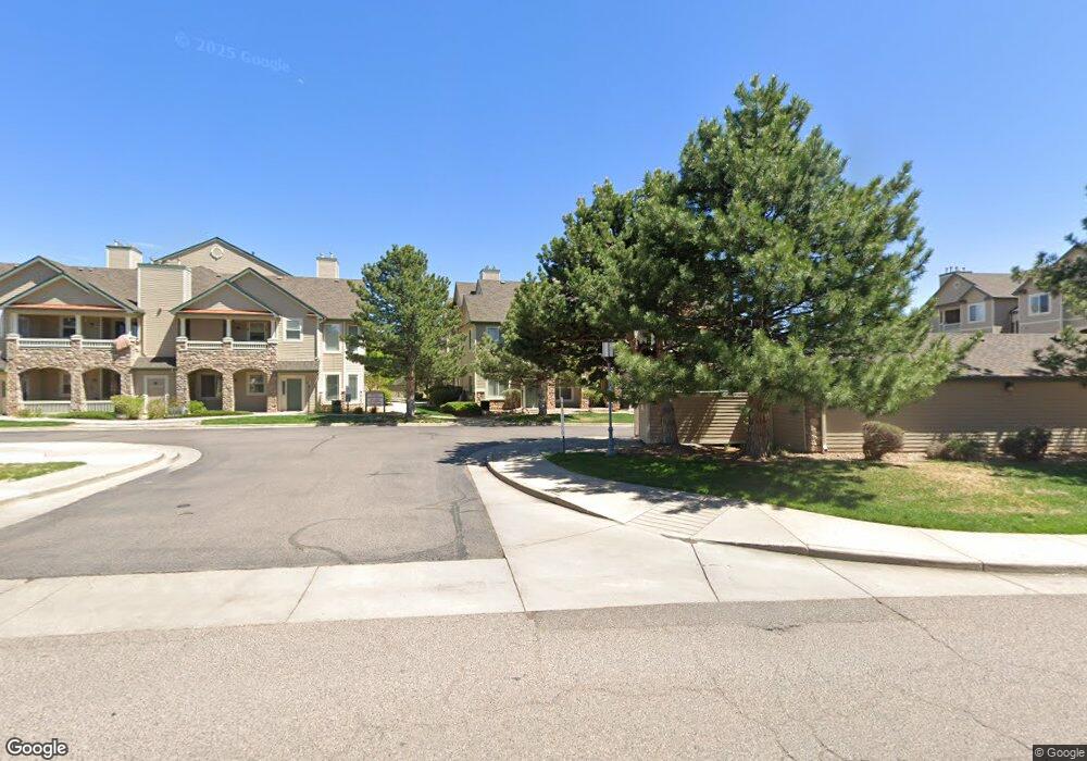
9692 W Coco Cir Unit 107 Littleton, CO 80128
Charter NeighborhoodEstimated Value: $398,663 - $415,000
2
Beds
2
Baths
1,249
Sq Ft
$325/Sq Ft
Est. Value
About This Home
This home is located at 9692 W Coco Cir Unit 107, Littleton, CO 80128 and is currently estimated at $406,416, approximately $325 per square foot. 9692 W Coco Cir Unit 107 is a home located in Jefferson County with nearby schools including Mortensen Elementary School, Falcon Bluffs Middle School, and Chatfield High School.
Ownership History
Date
Name
Owned For
Owner Type
Purchase Details
Closed on
Jul 5, 2019
Sold by
Stewart Joseph A and Stewart Bry L
Bought by
Crane Deborah J
Current Estimated Value
Home Financials for this Owner
Home Financials are based on the most recent Mortgage that was taken out on this home.
Original Mortgage
$200,000
Outstanding Balance
$175,861
Interest Rate
4%
Mortgage Type
New Conventional
Estimated Equity
$230,555
Purchase Details
Closed on
Jul 20, 2000
Sold by
Deer Creek Residential Llc
Bought by
Stewart Joseph A and Stewart Bry L
Home Financials for this Owner
Home Financials are based on the most recent Mortgage that was taken out on this home.
Original Mortgage
$137,600
Interest Rate
8.36%
Mortgage Type
FHA
Create a Home Valuation Report for This Property
The Home Valuation Report is an in-depth analysis detailing your home's value as well as a comparison with similar homes in the area
Home Values in the Area
Average Home Value in this Area
Purchase History
| Date | Buyer | Sale Price | Title Company |
|---|---|---|---|
| Crane Deborah J | $325,000 | Land Title Guarantee Co | |
| Stewart Joseph A | $141,870 | Land Title |
Source: Public Records
Mortgage History
| Date | Status | Borrower | Loan Amount |
|---|---|---|---|
| Open | Crane Deborah J | $200,000 | |
| Previous Owner | Stewart Joseph A | $137,600 |
Source: Public Records
Tax History Compared to Growth
Tax History
| Year | Tax Paid | Tax Assessment Tax Assessment Total Assessment is a certain percentage of the fair market value that is determined by local assessors to be the total taxable value of land and additions on the property. | Land | Improvement |
|---|---|---|---|---|
| 2024 | $2,635 | $24,415 | -- | $24,415 |
| 2023 | $2,635 | $24,415 | $0 | $24,415 |
| 2022 | $2,689 | $24,236 | $0 | $24,236 |
| 2021 | $2,728 | $24,934 | $0 | $24,934 |
| 2020 | $2,686 | $21,118 | $0 | $21,118 |
| 2019 | $2,660 | $21,118 | $0 | $21,118 |
| 2018 | $2,145 | $16,576 | $0 | $16,576 |
| 2017 | $2,000 | $16,576 | $0 | $16,576 |
| 2016 | $1,778 | $14,345 | $1 | $14,344 |
| 2015 | $1,436 | $14,345 | $1 | $14,344 |
| 2014 | $1,436 | $11,026 | $1 | $11,025 |
Source: Public Records
Map
Nearby Homes
- 8358 S Independence Cir Unit 105
- 8369 S Independence Cir Unit 305
- 8309 S Independence Cir Unit 203
- 8456 S Hoyt Way Unit 301
- 9620 W Chatfield Ave Unit D
- 9632 W Chatfield Ave Unit C
- 9602 W Chatfield Ave Unit E
- 9557 W San Juan Cir Unit 207
- 9658 W Chatfield Ave Unit D
- 9568 W San Juan Cir Unit 204
- 8376 S Garland Way
- 9613 W Chatfield Ave Unit F
- 9617 W Chatfield Ave Unit E
- 9643 W Chatfield Ave Unit D
- 9715 W Chatfield Ave Unit E
- 9661 W Chatfield Ave Unit B
- 9709 W Chatfield Ave Unit A
- 9667 W Chatfield Ave Unit D
- 9199 W Phillips Dr
- 9051 W Phillips Dr
- 9692 W Coco Cir Unit 303
- 9692 W Coco Cir Unit 305
- 9692 W Coco Cir Unit 306
- 9692 W Coco Cir Unit 304
- 9692 W Coco Cir Unit 202
- 9692 W Coco Cir Unit 204
- 9692 W Coco Cir Unit 206
- 9692 W Coco Cir Unit 208
- 9692 W Coco Cir Unit 207
- 9692 W Coco Cir Unit 205
- 9692 W Coco Cir Unit 203
- 9692 W Coco Cir Unit 101
- 9692 W Coco Cir Unit 105
- 9692 W Coco Cir Unit 108
- 9692 W Coco Cir Unit 106
- 9692 W Coco Cir Unit 104
- 9692 W Coco Cir Unit 102
- 9692 W Coco - 103 Cir
- 9622 W Coco Cir Unit 304
- 9622 W Coco Cir Unit 306