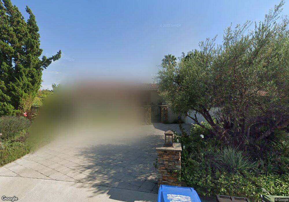
9696 Moorgate Rd Beverly Hills, CA 90210
Beverly Crest NeighborhoodEstimated Value: $2,537,000 - $2,886,000
4
Beds
4
Baths
2,804
Sq Ft
$948/Sq Ft
Est. Value
About This Home
This home is located at 9696 Moorgate Rd, Beverly Hills, CA 90210 and is currently estimated at $2,657,506, approximately $947 per square foot. 9696 Moorgate Rd is a home located in Los Angeles County with nearby schools including Warner Avenue Elementary and The Buckley School.
Ownership History
Date
Name
Owned For
Owner Type
Purchase Details
Closed on
Mar 5, 2014
Sold by
Silver Gary Daniel
Bought by
Silver Family Trust
Current Estimated Value
Purchase Details
Closed on
Nov 12, 1993
Sold by
Freeman Allan E
Bought by
Silver Gary Daniel and Silver Andrea Lisa
Home Financials for this Owner
Home Financials are based on the most recent Mortgage that was taken out on this home.
Original Mortgage
$444,000
Interest Rate
6.74%
Create a Home Valuation Report for This Property
The Home Valuation Report is an in-depth analysis detailing your home's value as well as a comparison with similar homes in the area
Home Values in the Area
Average Home Value in this Area
Purchase History
| Date | Buyer | Sale Price | Title Company |
|---|---|---|---|
| Silver Family Trust | -- | None Available | |
| Silver Gary Daniel | $555,000 | Equity Title |
Source: Public Records
Mortgage History
| Date | Status | Borrower | Loan Amount |
|---|---|---|---|
| Closed | Silver Gary Daniel | $444,000 |
Source: Public Records
Tax History
| Year | Tax Paid | Tax Assessment Tax Assessment Total Assessment is a certain percentage of the fair market value that is determined by local assessors to be the total taxable value of land and additions on the property. | Land | Improvement |
|---|---|---|---|---|
| 2025 | $11,774 | $943,308 | $688,199 | $255,109 |
| 2024 | $11,774 | $924,812 | $674,705 | $250,107 |
| 2023 | $11,557 | $906,679 | $661,476 | $245,203 |
| 2022 | $11,065 | $888,902 | $648,506 | $240,396 |
| 2021 | $10,922 | $871,474 | $635,791 | $235,683 |
| 2019 | $10,539 | $845,628 | $616,934 | $228,694 |
| 2018 | $10,403 | $829,048 | $604,838 | $224,210 |
| 2016 | $9,908 | $796,856 | $581,352 | $215,504 |
| 2015 | $9,767 | $784,887 | $572,620 | $212,267 |
| 2014 | $9,815 | $769,513 | $561,404 | $208,109 |
Source: Public Records
Map
Nearby Homes
- 3001 Hutton Place
- 2791 Ellison Dr
- 2731 Hutton Dr
- 2641 Hutton Dr
- 3298 Hutton Dr
- 9696 Antelope Rd
- 9706 Hensal Rd
- 2481 Summitridge Dr
- 13355 Mulholland Dr
- 9716 Oak Pass Rd
- 13170 Mulholland Dr
- 3110 Benedict Canyon Dr
- 9705 Oak Pass Rd
- 2563 Hutton Dr
- 2559 Hutton Dr
- 2576 Benedict Canyon Dr
- 9669 Oak Pass Rd
- 13511 Mulholland Dr
- 9551 Oak Pass Rd
- 9694 Oak Pass Rd
- 9704 Moorgate Rd
- 9690 Moorgate Rd
- 9712 Moorgate Rd
- 9686 Moorgate Rd
- 9691 Moorgate Rd
- 9705 Moorgate Rd
- 9720 Moorgate Rd
- 9713 Moorgate Rd
- 2925 Trudy Dr
- 9689 Moorgate Rd
- 9710 Wendover Dr
- 3103 Hutton Dr
- 9721 Moorgate Rd
- 3111 Hutton Dr
- 9728 Moorgate Rd
- 2841 Hutton Dr
- 3095 Hutton Dr
- 3119 Hutton Dr
- 9716 Wendover Dr
- 9729 Moorgate Rd
Your Personal Tour Guide
Ask me questions while you tour the home.