97 Heath Hill Rd Sumner, ME 04292
Estimated Value: $118,000 - $490,104
Studio
--
Bath
728
Sq Ft
$443/Sq Ft
Est. Value
About This Home
This home is located at 97 Heath Hill Rd, Sumner, ME 04292 and is currently estimated at $322,276, approximately $442 per square foot. 97 Heath Hill Rd is a home located in Oxford County with nearby schools including Hartford-Sumner Elementary School, Buckfield Junior/Senior High School, and West Sumner Christian School.
Ownership History
Date
Name
Owned For
Owner Type
Purchase Details
Closed on
Aug 31, 2023
Sold by
A Ingrid Eriksson Ret and Zimmerman
Bought by
Macduff Patricia and Macduff James
Current Estimated Value
Home Financials for this Owner
Home Financials are based on the most recent Mortgage that was taken out on this home.
Original Mortgage
$215,000
Outstanding Balance
$209,434
Interest Rate
6.78%
Mortgage Type
Purchase Money Mortgage
Estimated Equity
$112,842
Create a Home Valuation Report for This Property
The Home Valuation Report is an in-depth analysis detailing your home's value as well as a comparison with similar homes in the area
Purchase History
| Date | Buyer | Sale Price | Title Company |
|---|---|---|---|
| Macduff Patricia | $1,000 | None Available | |
| Macduff Patricia | $414,000 | None Available |
Source: Public Records
Mortgage History
| Date | Status | Borrower | Loan Amount |
|---|---|---|---|
| Open | Macduff Patricia | $215,000 |
Source: Public Records
Tax History
| Year | Tax Paid | Tax Assessment Tax Assessment Total Assessment is a certain percentage of the fair market value that is determined by local assessors to be the total taxable value of land and additions on the property. | Land | Improvement |
|---|---|---|---|---|
| 2025 | $6,421 | $411,627 | $135,529 | $276,098 |
| 2024 | $5,327 | $409,763 | $133,665 | $276,098 |
| 2023 | $5,235 | $248,087 | $95,104 | $152,983 |
| 2022 | $5,215 | $252,562 | $99,579 | $152,983 |
| 2021 | $5,275 | $255,431 | $102,448 | $152,983 |
| 2020 | $5,347 | $258,917 | $105,934 | $152,983 |
| 2019 | $5,273 | $259,103 | $106,120 | $152,983 |
| 2018 | $3,995 | $206,969 | $55,019 | $151,950 |
| 2017 | $3,756 | $205,264 | $54,414 | $150,850 |
| 2016 | $3,475 | $205,029 | $54,179 | $150,850 |
| 2015 | $3,330 | $203,056 | $52,206 | $150,850 |
| 2014 | $3,249 | $203,040 | $52,190 | $150,850 |
| 2013 | $3,181 | $202,635 | $51,785 | $150,850 |
Source: Public Records
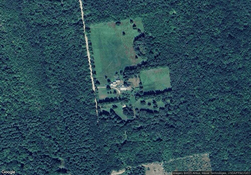
Map
Nearby Homes
- M19 L6-6 Tuell Hill Rd
- 15 Front St
- 20 Front St
- 42 Front St
- R12-010A Main St
- 729 Main St
- 585 Main St
- 20 Kittridge Brook Rd
- Lot#32 Beech Ridge Ln
- 67 Fields Hill Rd
- 66 Ridge Rd
- 15 Harbor Rd
- 409 Gammon Rd
- M13L18A-1 Redding Rd
- 2 Hidden Ln
- 14 Butterfield Rd
- Lots 10&11 Davenport Rd
- 80-002-A Road Less Traveled Rd
- 71 Mountain View Dr
- 14 Mcneil Rd
- 97 Heath Hill Rd
- 46 Heath Hill Rd
- 0 Heath Hill Rd Unit 219664
- 0 Heath Hill Rd Unit 1363777
- 0 Heath Hill Rd Unit 1405738
- 165 Heath Hill Rd
- 1239 Main St
- 15 Heath Hill Rd
- 1235 Main St
- 9 Heath Hill Rd
- 00 Tuell Hill& Heath Hill Rd
- 000 Tuell Hill & Heath Hill Rd
- 1207 Main St
- 1330 Main St
- 1190 Main St
- 233 Heath Hill
- 1184 Main St
- 1174 Main St
- 81 Cottage Rd
- 41 Cottage Rd
Your Personal Tour Guide
Ask me questions while you tour the home.