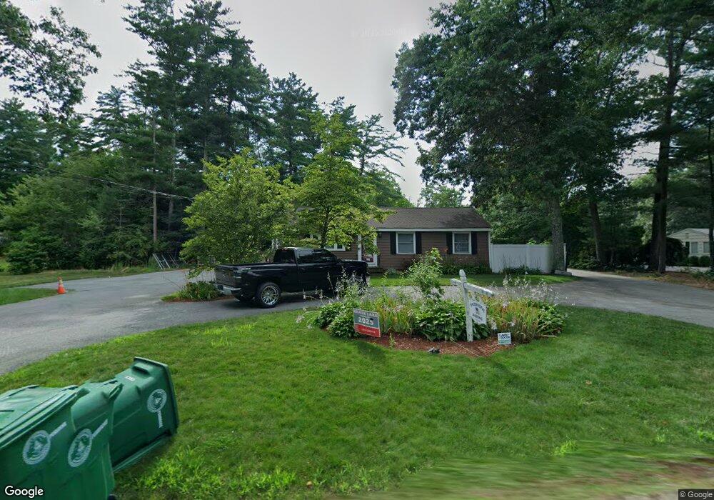
97 Lake St Pembroke, MA 02359
Estimated Value: $587,000 - $640,000
3
Beds
1
Bath
1,410
Sq Ft
$432/Sq Ft
Est. Value
About This Home
This home is located at 97 Lake St, Pembroke, MA 02359 and is currently estimated at $608,564, approximately $431 per square foot. 97 Lake St is a home located in Plymouth County with nearby schools including Pembroke High School.
Ownership History
Date
Name
Owned For
Owner Type
Purchase Details
Closed on
Feb 10, 2020
Sold by
Dunleavey T
Bought by
Dunleavy Ft
Current Estimated Value
Purchase Details
Closed on
Jan 25, 2013
Sold by
Dunleavy William B and Dunleavy Sandra C
Bought by
Dunleavy T
Purchase Details
Closed on
Dec 10, 2012
Sold by
Dunleavy T and Dunleavy William B
Bought by
Dunleavey William B and Dunleavy Sandra C
Purchase Details
Closed on
Jun 6, 2006
Sold by
Cooper Michele and Dunleavy William B
Bought by
Dunleavy Tr William B and Dunleavy Sandra C
Purchase Details
Closed on
Mar 6, 2003
Sold by
Dunleavy William B
Bought by
Dunleavy William and Cooper Michelle S
Purchase Details
Closed on
Dec 9, 2002
Sold by
Hay Douglas Christo and Hay Douglas C
Bought by
Dunleavy William and Dunleavy William B
Home Financials for this Owner
Home Financials are based on the most recent Mortgage that was taken out on this home.
Original Mortgage
$175,000
Interest Rate
6.34%
Mortgage Type
Purchase Money Mortgage
Create a Home Valuation Report for This Property
The Home Valuation Report is an in-depth analysis detailing your home's value as well as a comparison with similar homes in the area
Home Values in the Area
Average Home Value in this Area
Purchase History
| Date | Buyer | Sale Price | Title Company |
|---|---|---|---|
| Dunleavy Ft | -- | None Available | |
| Dunleavy T | -- | -- | |
| Dunleavey William B | -- | -- | |
| Dunleavy Tr William B | -- | -- | |
| Dunleavy William | -- | -- | |
| Dunleavy William | $235,000 | -- |
Source: Public Records
Mortgage History
| Date | Status | Borrower | Loan Amount |
|---|---|---|---|
| Previous Owner | Dunleavy William | $175,000 |
Source: Public Records
Tax History Compared to Growth
Tax History
| Year | Tax Paid | Tax Assessment Tax Assessment Total Assessment is a certain percentage of the fair market value that is determined by local assessors to be the total taxable value of land and additions on the property. | Land | Improvement |
|---|---|---|---|---|
| 2025 | $6,288 | $523,100 | $310,000 | $213,100 |
| 2024 | $5,966 | $495,900 | $304,800 | $191,100 |
| 2023 | $5,844 | $459,400 | $280,000 | $179,400 |
| 2022 | $5,511 | $389,500 | $233,600 | $155,900 |
| 2021 | $5,202 | $356,800 | $223,600 | $133,200 |
| 2020 | $4,743 | $327,300 | $218,800 | $108,500 |
| 2019 | $4,542 | $311,100 | $208,500 | $102,600 |
| 2018 | $4,361 | $292,900 | $203,300 | $89,600 |
| 2017 | $4,272 | $282,900 | $193,300 | $89,600 |
| 2016 | $4,128 | $270,500 | $180,900 | $89,600 |
| 2015 | $3,877 | $263,000 | $173,300 | $89,700 |
Source: Public Records
Map
Nearby Homes
- 20 Edward Dr
- 234 Forest St
- 345 Forest St
- 27 Chestnut Rd
- 25 Little Brook Rd
- 32 Little Brook Rd
- 21 Prince Way
- 290 School St
- 628 Center St
- 56 & 60 Prince Way
- 34 Montclair Ave
- 10 Fir Rd
- 89 West St
- 8 Sandy Ln
- 5 Hatch Rd
- 820 Center St
- 62 Toole Trail
- 299 Center St
- 72 Old Cart Path Ln Unit Lot 2
- 78 Old Cart Path Ln Unit Lot 3