97 Perkins Ln Holderness, NH 03245
Estimated Value: $424,000 - $663,000
2
Beds
1
Bath
1,249
Sq Ft
$418/Sq Ft
Est. Value
About This Home
This home is located at 97 Perkins Ln, Holderness, NH 03245 and is currently estimated at $522,373, approximately $418 per square foot. 97 Perkins Ln is a home with nearby schools including Holderness Central School and Plymouth Regional High School.
Ownership History
Date
Name
Owned For
Owner Type
Purchase Details
Closed on
Aug 4, 2020
Sold by
Doyle Jean L
Bought by
Jean L Doyle T
Current Estimated Value
Purchase Details
Closed on
Sep 16, 2013
Sold by
C J & A P King Ret
Bought by
Sanford James C and Doyle Jean L
Purchase Details
Closed on
Apr 19, 2010
Sold by
Jenkins Earle S and Jenkins Julie A
Bought by
Anita P King Ret and Clifford J King Ret
Create a Home Valuation Report for This Property
The Home Valuation Report is an in-depth analysis detailing your home's value as well as a comparison with similar homes in the area
Home Values in the Area
Average Home Value in this Area
Purchase History
| Date | Buyer | Sale Price | Title Company |
|---|---|---|---|
| Jean L Doyle T | -- | None Available | |
| Doyle Jean L | -- | None Available | |
| Sanford James C | $225,000 | -- | |
| Anita P King Ret | $225,000 | -- |
Source: Public Records
Tax History Compared to Growth
Tax History
| Year | Tax Paid | Tax Assessment Tax Assessment Total Assessment is a certain percentage of the fair market value that is determined by local assessors to be the total taxable value of land and additions on the property. | Land | Improvement |
|---|---|---|---|---|
| 2024 | $3,114 | $360,000 | $156,000 | $204,000 |
| 2023 | $3,092 | $360,000 | $156,000 | $204,000 |
| 2022 | $3,522 | $313,900 | $156,000 | $157,900 |
| 2021 | $2,708 | $239,420 | $81,520 | $157,900 |
| 2020 | $2,426 | $178,671 | $58,271 | $120,400 |
| 2019 | $2,354 | $178,705 | $58,305 | $120,400 |
| 2018 | $2,299 | $178,630 | $58,230 | $120,400 |
| 2017 | $2,071 | $146,080 | $48,480 | $97,600 |
| 2016 | $2,071 | $146,080 | $48,480 | $97,600 |
| 2015 | $2,071 | $146,080 | $48,480 | $97,600 |
| 2014 | $1,974 | $137,280 | $48,480 | $88,800 |
| 2011 | $2,549 | $193,700 | $99,400 | $94,300 |
Source: Public Records
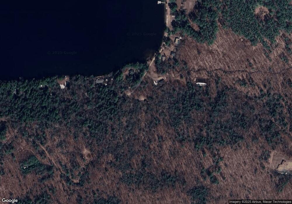
Map
Nearby Homes
- 73 Maple Ridge Rd
- 206 High Country Way Unit (aka Unit 100)
- 265 High Country Way
- 7 Hollows Rd
- 14 Overlook Rd
- 11 Sebec Rd
- 12 Peaked Hill Rd
- 283 River St
- 88 Perch Pond Rd
- 00 Hicks Hill Rd
- 125 Thompson St
- 388 Perch Pond Rd
- 224 Beede Rd
- 121 Riverside Dr
- 46 Laurel Island Ln
- 25 Elliot Rd
- 4 Hilltop Dr
- 775 Winona Rd
- 373 New Hampshire Route 175
- 1406 Winona Rd
- 87 Perkins Ln
- 1002 U S 3 Unit 1 West
- 1002 U S 3 Unit 2 East
- 1002 U S 3 Unit 3
- 90 Perkins Ln
- 4 Sunset Ln
- 19 Sunset Ln
- 75 Perkins Ln
- 17 Sunset Ln
- 69 Perkins Ln
- 23 Perkin's Ln
- 15 Hemlock Way
- 11 Sunset Ln
- 63 Perkins Ln
- 16 Hemlock Way
- 59 Perkins Ln
- 00 Perkins Ln
- 92 Shepard Hill Rd
- 43 Perkins Ln
- #16 Ridge Rd