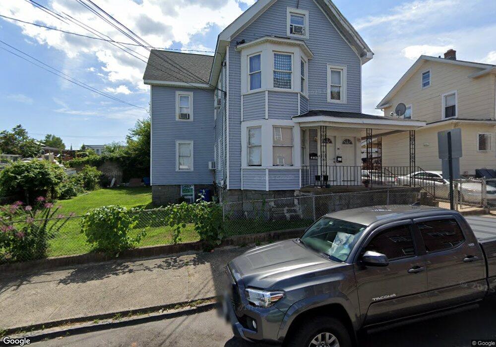
97 Wallace St Bridgeport, CT 06604
The Hollow NeighborhoodEstimated Value: $398,261 - $577,000
4
Beds
2
Baths
2,797
Sq Ft
$167/Sq Ft
Est. Value
About This Home
This home is located at 97 Wallace St, Bridgeport, CT 06604 and is currently estimated at $468,065, approximately $167 per square foot. 97 Wallace St is a home located in Fairfield County with nearby schools including Bassick High School, Capital Prep Harbor Upper School, and Achievement First Bridgeport Academy Elementary School.
Ownership History
Date
Name
Owned For
Owner Type
Purchase Details
Closed on
May 4, 2006
Sold by
Petrillo Anthony and Petrillo Beatrice
Bought by
Ferreira David
Current Estimated Value
Home Financials for this Owner
Home Financials are based on the most recent Mortgage that was taken out on this home.
Original Mortgage
$248,900
Outstanding Balance
$168,369
Interest Rate
9.55%
Estimated Equity
$299,696
Create a Home Valuation Report for This Property
The Home Valuation Report is an in-depth analysis detailing your home's value as well as a comparison with similar homes in the area
Home Values in the Area
Average Home Value in this Area
Purchase History
| Date | Buyer | Sale Price | Title Company |
|---|---|---|---|
| Ferreira David | $262,000 | -- | |
| Ferreira David | $262,000 | -- |
Source: Public Records
Mortgage History
| Date | Status | Borrower | Loan Amount |
|---|---|---|---|
| Open | Ferreira David | $248,900 | |
| Closed | Ferreira David | $248,900 | |
| Previous Owner | Ferreira David | $100,000 |
Source: Public Records
Tax History Compared to Growth
Tax History
| Year | Tax Paid | Tax Assessment Tax Assessment Total Assessment is a certain percentage of the fair market value that is determined by local assessors to be the total taxable value of land and additions on the property. | Land | Improvement |
|---|---|---|---|---|
| 2025 | $7,537 | $173,460 | $43,100 | $130,360 |
| 2024 | $7,537 | $173,460 | $43,100 | $130,360 |
| 2023 | $7,537 | $173,460 | $43,100 | $130,360 |
| 2022 | $7,537 | $173,460 | $43,100 | $130,360 |
| 2021 | $7,537 | $173,460 | $43,100 | $130,360 |
| 2020 | $6,466 | $119,760 | $20,400 | $99,360 |
| 2019 | $6,466 | $119,760 | $20,400 | $99,360 |
| 2018 | $6,511 | $119,760 | $20,400 | $99,360 |
| 2017 | $6,511 | $119,760 | $20,400 | $99,360 |
| 2016 | $6,511 | $119,760 | $20,400 | $99,360 |
| 2015 | $7,125 | $168,840 | $42,480 | $126,360 |
| 2014 | $7,125 | $168,840 | $42,480 | $126,360 |
Source: Public Records
Map
Nearby Homes
- 78 Fairmount Ave
- 90 Tom Thumb St
- 318 Center St
- 191 Oak St
- 76 Porter St
- 31 Taft Ave
- 183 Calhoun Ave
- 390 Charles St Unit 106
- 2395 Main St Unit 2397
- 139 Highland Ave Unit 143
- 100 Lorraine St
- 724 Capitol Ave Unit 726
- 75 Sanford Ave
- 356 Taft Ave
- 309 Pequonnock St
- 120 Milne St Unit 122
- 113 Milne St Unit 115
- 119 Madison Terrace
- 213 Harral Ave Unit 215
- 200 Harral Ave
- 99 Wallace St
- 1161 North Ave Unit 2
- 1169 North Ave Unit 1171
- 1123 North Ave Unit 10
- 1123 North Ave
- 73 Wallace St
- 1179 North Ave
- 1173 North Ave
- 1111 North Ave Unit 1113
- 1175 North Ave Unit 3rd
- 1175 North Ave
- 1105 North Ave
- 1177 North Ave
- 392 Madison Ave
- 407 Madison Ave
- 391 Madison Ave Unit 395
- 1093 North Ave Unit 1095
- 405 Madison Ave
- 54 Wallace St
- 381 Madison Ave Unit 385