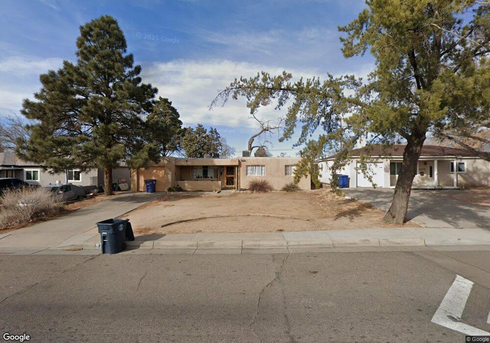
9705 Snowheights Blvd NE Albuquerque, NM 87112
North Easterns NeighborhoodEstimated Value: $282,000 - $299,521
3
Beds
2
Baths
1,326
Sq Ft
$220/Sq Ft
Est. Value
About This Home
This home is located at 9705 Snowheights Blvd NE, Albuquerque, NM 87112 and is currently estimated at $292,130, approximately $220 per square foot. 9705 Snowheights Blvd NE is a home located in Bernalillo County with nearby schools including Janet Kahn School of Integrated Arts, Grant Middle School, and Sandia High School.
Ownership History
Date
Name
Owned For
Owner Type
Purchase Details
Closed on
Sep 4, 2022
Sold by
King Adrianna F
Bought by
King Jason M
Current Estimated Value
Purchase Details
Closed on
Jan 28, 2005
Sold by
Melkus Rolf A and Melkus Cheryl F
Bought by
King Jason M and King Adrianna F
Home Financials for this Owner
Home Financials are based on the most recent Mortgage that was taken out on this home.
Original Mortgage
$125,133
Interest Rate
5.71%
Mortgage Type
VA
Purchase Details
Closed on
Apr 2, 2001
Sold by
Melkus Rolf A
Bought by
Melkus Rolf A and Melkus Cheryl F
Home Financials for this Owner
Home Financials are based on the most recent Mortgage that was taken out on this home.
Original Mortgage
$100,000
Interest Rate
7.13%
Create a Home Valuation Report for This Property
The Home Valuation Report is an in-depth analysis detailing your home's value as well as a comparison with similar homes in the area
Home Values in the Area
Average Home Value in this Area
Purchase History
| Date | Buyer | Sale Price | Title Company |
|---|---|---|---|
| King Jason M | -- | -- | |
| King Jason M | -- | Stewart Title | |
| Melkus Rolf A | -- | First American Title Ins Co |
Source: Public Records
Mortgage History
| Date | Status | Borrower | Loan Amount |
|---|---|---|---|
| Previous Owner | King Jason M | $125,133 | |
| Previous Owner | Melkus Rolf A | $100,000 |
Source: Public Records
Tax History Compared to Growth
Tax History
| Year | Tax Paid | Tax Assessment Tax Assessment Total Assessment is a certain percentage of the fair market value that is determined by local assessors to be the total taxable value of land and additions on the property. | Land | Improvement |
|---|---|---|---|---|
| 2025 | $2,005 | $55,136 | $12,325 | $42,811 |
| 2024 | $2,005 | $53,530 | $11,966 | $41,564 |
| 2023 | $1,965 | $51,972 | $11,618 | $40,354 |
| 2022 | $1,891 | $50,458 | $11,280 | $39,178 |
| 2021 | $1,820 | $48,989 | $10,951 | $38,038 |
| 2020 | $1,783 | $47,562 | $10,632 | $36,930 |
| 2019 | $1,782 | $47,562 | $10,632 | $36,930 |
| 2018 | $1,746 | $47,562 | $10,632 | $36,930 |
| 2017 | $1,685 | $46,982 | $11,618 | $35,364 |
| 2016 | $1,629 | $44,285 | $10,951 | $33,334 |
| 2015 | $42,995 | $42,995 | $10,632 | $32,363 |
| 2014 | $1,546 | $42,412 | $9,001 | $33,411 |
| 2013 | -- | $41,177 | $8,739 | $32,438 |
Source: Public Records
Map
Nearby Homes
- 9521 Snow Heights Blvd NE
- 9616 Morrow Ave NE
- 9521 Salem Rd NE
- 9716 Indian School Rd NE
- 1812 Mary Ellen St NE
- 1724 Glorieta St NE
- 2014 Somervell St NE
- 9405 Cyndi Ct
- 1800 Pitt St NE
- 1833 Britt St NE
- 10410 Towner Ave NE
- 1613 Glorieta St NE
- 2700 Eubank Blvd NE
- 2329 Britt St NE
- 1800 Field Dr NE
- 8623 Menaul Blvd NE
- 2417 Britt St NE
- 1820 Lester Dr NE
- 8922 Claremont Ave NE
- 2805 Christine St NE
- 9709 Snowheights Blvd NE
- 9701 Snowheights Blvd NE
- 9701 Snow Heights Blvd NE
- 9713 Snowheights Blvd NE
- 9706 Apache Ave NE
- 9710 Apache Ave NE
- 9621 Snowheights Blvd NE
- 9621 Snow Heights Blvd NE
- 9700 Apache Ave NE
- 9704 Snowheights Blvd NE
- 9708 Snowheights Blvd NE
- 9714 Apache Ave NE
- 9717 Snowheights Blvd NE
- 9624 Apache Ave NE
- 9617 Snowheights Blvd NE
- 9700 Snowheights Blvd NE
- 9712 Snowheights Blvd NE
- 9718 Apache Ave NE
- 9716 Snowheights Blvd NE
- 9721 Snowheights Blvd NE