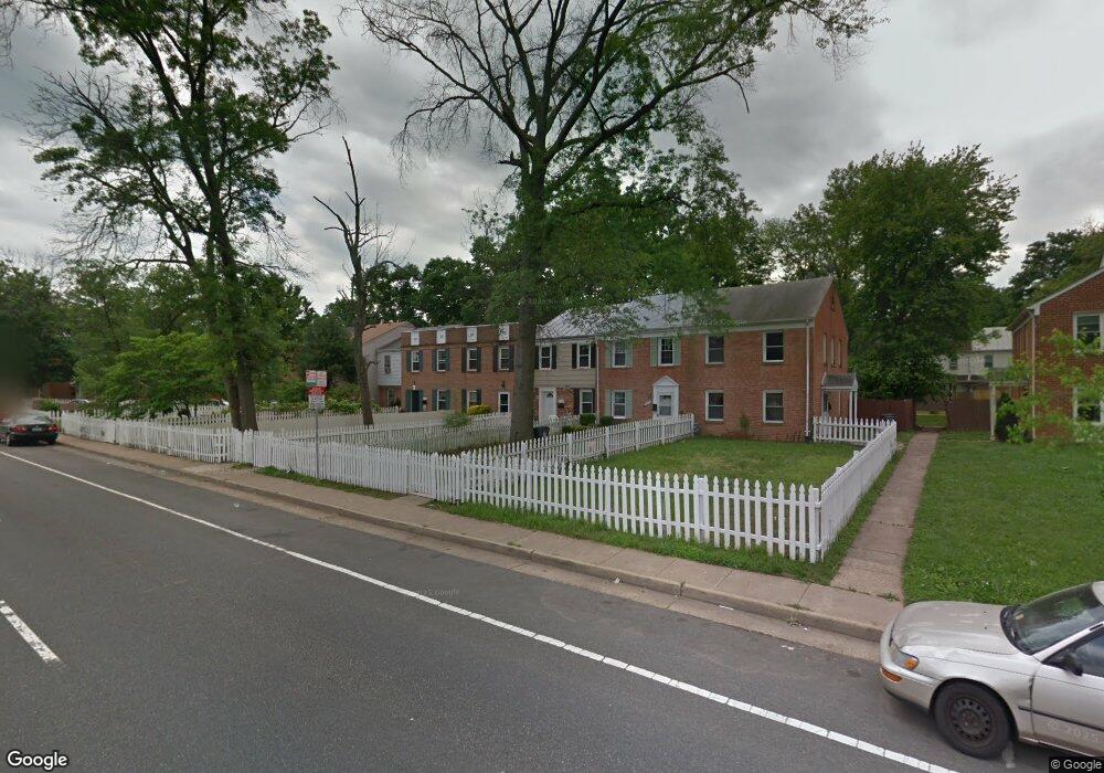
9730 Grant Ave Manassas, VA 20110
Old Town Manassas NeighborhoodEstimated Value: $310,000 - $339,000
3
Beds
1
Bath
1,170
Sq Ft
$275/Sq Ft
Est. Value
About This Home
This home is located at 9730 Grant Ave, Manassas, VA 20110 and is currently estimated at $322,126, approximately $275 per square foot. 9730 Grant Ave is a home located in Manassas City with nearby schools including Baldwin Elementary School, Mayfield Intermediate School, and Grace E. Metz Middle School.
Ownership History
Date
Name
Owned For
Owner Type
Purchase Details
Closed on
Feb 6, 2001
Sold by
Foster Georgia L
Bought by
Foster Willaim J
Current Estimated Value
Purchase Details
Closed on
Mar 24, 1994
Sold by
Becker Jr Tr E
Bought by
Foster William J
Home Financials for this Owner
Home Financials are based on the most recent Mortgage that was taken out on this home.
Original Mortgage
$18,693
Interest Rate
7.15%
Create a Home Valuation Report for This Property
The Home Valuation Report is an in-depth analysis detailing your home's value as well as a comparison with similar homes in the area
Home Values in the Area
Average Home Value in this Area
Purchase History
| Date | Buyer | Sale Price | Title Company |
|---|---|---|---|
| Foster Willaim J | -- | -- | |
| Foster William J | $51,000 | -- |
Source: Public Records
Mortgage History
| Date | Status | Borrower | Loan Amount |
|---|---|---|---|
| Previous Owner | Foster William J | $18,693 | |
| Closed | Foster William J | $32,306 |
Source: Public Records
Tax History Compared to Growth
Tax History
| Year | Tax Paid | Tax Assessment Tax Assessment Total Assessment is a certain percentage of the fair market value that is determined by local assessors to be the total taxable value of land and additions on the property. | Land | Improvement |
|---|---|---|---|---|
| 2024 | $2,985 | $236,900 | $82,500 | $154,400 |
| 2023 | $2,778 | $220,500 | $79,000 | $141,500 |
| 2022 | $2,586 | $192,700 | $68,500 | $124,200 |
| 2021 | $2,365 | $165,500 | $61,500 | $104,000 |
| 2020 | $2,240 | $153,400 | $59,500 | $93,900 |
| 2019 | $2,128 | $143,800 | $58,000 | $85,800 |
| 2018 | $2,016 | $138,100 | $55,000 | $83,100 |
| 2017 | -- | $135,500 | $55,000 | $80,500 |
| 2016 | $1,884 | $134,300 | $0 | $0 |
| 2015 | -- | $134,300 | $55,000 | $79,300 |
| 2014 | -- | $0 | $0 | $0 |
Source: Public Records
Map
Nearby Homes
- 9739 Grant Ave
- 9723 Grant Ave
- 9718 Pickett Ln
- 9832 Buckner Rd
- 9833 Town Ln
- 9679 Swallowtail Ln
- 9681 Swallowtail Ln
- 9683 Swallowtail Ln
- 9675 Swallowtail Ln
- 9667 Swallowtail Ln
- 9677 Swallowtail Ln
- 9671 Swallowtail Ln
- 9639 Grant Ave
- 9669 Swallowtail Ln
- 9665 Swallowtail Ln
- 9623 Grant Ave
- Harrington Plan at Ashberry
- Wentworth Plan at Ashberry
- 9278 Taney Rd
- 9728 Grant Ave
- 9732 Grant Ave
- 9734 Grant Ave
- 9726 Grant Ave
- 9736 Grant Ave
- 9724 Grant Ave
- 9800 Buckner Rd
- 9738 Grant Ave
- 9722 Grant Ave
- 9720 Grant Ave
- 9718 Grant Ave
- 9719 Pickett Ln
- 9721 Pickett Ln
- 9717 Pickett Ln
- 9723 Pickett Ln
- 9725 Pickett Ln
- 9715 Pickett Ln
- 9716 Grant Ave
- 9727 Pickett Ln
- 9713 Pickett Ln