9794 Martingham Cir Saint Michaels, MD 21663
Estimated Value: $702,000 - $926,000
--
Bed
3
Baths
2,135
Sq Ft
$394/Sq Ft
Est. Value
About This Home
This home is located at 9794 Martingham Cir, Saint Michaels, MD 21663 and is currently estimated at $840,684, approximately $393 per square foot. 9794 Martingham Cir is a home located in Talbot County with nearby schools including St. Michaels Elementary School, St. Michaels Middle/High School, and Easton High School.
Ownership History
Date
Name
Owned For
Owner Type
Purchase Details
Closed on
Apr 22, 2024
Sold by
Frank Family Trust and Frank Robert T
Bought by
Lawlor Michael K and Lawlor Gayla S
Current Estimated Value
Home Financials for this Owner
Home Financials are based on the most recent Mortgage that was taken out on this home.
Original Mortgage
$460,000
Outstanding Balance
$452,942
Interest Rate
6.74%
Mortgage Type
New Conventional
Estimated Equity
$387,742
Purchase Details
Closed on
Oct 11, 2007
Sold by
Frank Robert
Bought by
Frank Robert and Frank Mary E V Trustees
Purchase Details
Closed on
Aug 6, 2007
Sold by
Frank Robert
Bought by
Frank Robert and Frank Mary E V Trustees
Purchase Details
Closed on
Jul 31, 1992
Sold by
Pacer Enterprises, Inc.
Bought by
Frank Robert
Home Financials for this Owner
Home Financials are based on the most recent Mortgage that was taken out on this home.
Original Mortgage
$247,410
Interest Rate
8.05%
Create a Home Valuation Report for This Property
The Home Valuation Report is an in-depth analysis detailing your home's value as well as a comparison with similar homes in the area
Home Values in the Area
Average Home Value in this Area
Purchase History
| Date | Buyer | Sale Price | Title Company |
|---|---|---|---|
| Lawlor Michael K | $875,000 | Eastern Shore Title | |
| Frank Robert | -- | -- | |
| Frank Robert | -- | -- | |
| Frank Robert | $274,900 | -- |
Source: Public Records
Mortgage History
| Date | Status | Borrower | Loan Amount |
|---|---|---|---|
| Open | Lawlor Michael K | $460,000 | |
| Previous Owner | Frank Robert | $247,410 |
Source: Public Records
Tax History Compared to Growth
Tax History
| Year | Tax Paid | Tax Assessment Tax Assessment Total Assessment is a certain percentage of the fair market value that is determined by local assessors to be the total taxable value of land and additions on the property. | Land | Improvement |
|---|---|---|---|---|
| 2025 | $4,628 | $538,100 | $225,000 | $313,100 |
| 2024 | $4,628 | $517,067 | $0 | $0 |
| 2023 | $0 | $496,033 | $0 | $0 |
| 2022 | $0 | $475,000 | $225,000 | $250,000 |
| 2021 | $0 | $473,267 | $0 | $0 |
| 2020 | $2,977 | $471,533 | $0 | $0 |
| 2019 | $0 | $469,800 | $225,000 | $244,800 |
| 2018 | $0 | $452,867 | $0 | $0 |
| 2017 | $2,977 | $435,933 | $0 | $0 |
| 2016 | -- | $419,000 | $0 | $0 |
| 2015 | -- | $419,000 | $0 | $0 |
| 2014 | -- | $419,000 | $0 | $0 |
Source: Public Records
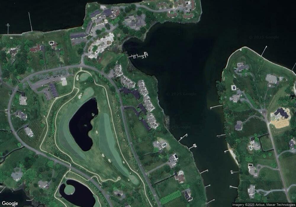
Map
Nearby Homes
- 9791 Pintail Place
- 9545 Quail Hollow Dr Unit 205
- 24420 Mallard Place
- 24362 Widgeon Place Unit 4
- 24749 Swan Rd
- 9171 Deepwater Point Rd
- 216 Brooks Ln
- 209 Webb Ln
- 300 Perry St
- 408 Spinnaker Ln
- 207 Dodson Ave
- 0 Bozman Neavitt Rd Unit MDTA2011976
- 25500 Chance Farm Rd
- 102 Gloria Ave
- 100 Grace St
- 222 E Chestnut St
- 107 E Chestnut St
- 9681 Macks Ln
- 0 Grace St Unit MDTA2012346
- 216 E Chew Ave
- 9794 Martingham Cir
- 9794 Martingham Cir
- 9794 Martingham Cir
- 9794 Martingham Cir Unit D5
- 9794 Martingham Cir
- 9794 Martingham Cir Unit 11
- 9794 Martingham Cir
- 9794 Martingham Cir
- 9794 Martingham Cir Unit 2
- 9794 Martingham Cir Unit 1
- 9794 Martingham Cir
- 9794 Martingham Cir Unit 10
- 9794 Martingham Cir Unit E9
- 9794 Martingham Cir Unit E8
- 9794 Martingham Cir Unit E6
- 9792 Martingham Cir Unit 7
- 9792 Martingham Cir Unit B1
- 9792 Martingham Cir
- 9792 Martingham Cir
- 9792 Martingham Cir Unit B5