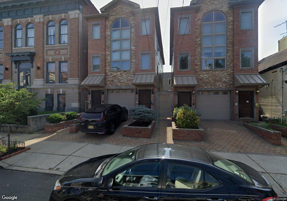
98 Sherman Ave Unit 2 Jersey City, NJ 07307
The Heights NeighborhoodEstimated Value: $680,000 - $912,000
3
Beds
3
Baths
1,425
Sq Ft
$564/Sq Ft
Est. Value
About This Home
This home is located at 98 Sherman Ave Unit 2, Jersey City, NJ 07307 and is currently estimated at $804,073, approximately $564 per square foot. 98 Sherman Ave Unit 2 is a home located in Hudson County with nearby schools including Charles E. Trefurt School, William L. Dickinson High School, and Dr Ronald McNair High School.
Ownership History
Date
Name
Owned For
Owner Type
Purchase Details
Closed on
Mar 11, 2019
Sold by
Haris Dawson Kukuwa T and Haris Bilal
Bought by
Carlson Anne and Park Peter Yong
Current Estimated Value
Home Financials for this Owner
Home Financials are based on the most recent Mortgage that was taken out on this home.
Original Mortgage
$432,840
Outstanding Balance
$379,765
Interest Rate
4.3%
Mortgage Type
New Conventional
Estimated Equity
$424,308
Create a Home Valuation Report for This Property
The Home Valuation Report is an in-depth analysis detailing your home's value as well as a comparison with similar homes in the area
Home Values in the Area
Average Home Value in this Area
Purchase History
| Date | Buyer | Sale Price | Title Company |
|---|---|---|---|
| Carlson Anne | $632,840 | Nuco Title Ins Agcy Inc |
Source: Public Records
Mortgage History
| Date | Status | Borrower | Loan Amount |
|---|---|---|---|
| Open | Carlson Anne | $432,840 |
Source: Public Records
Tax History Compared to Growth
Tax History
| Year | Tax Paid | Tax Assessment Tax Assessment Total Assessment is a certain percentage of the fair market value that is determined by local assessors to be the total taxable value of land and additions on the property. | Land | Improvement |
|---|---|---|---|---|
| 2025 | $10,830 | $485,000 | $75,000 | $410,000 |
| 2024 | $10,898 | $485,000 | $75,000 | $410,000 |
| 2023 | $10,898 | $485,000 | $75,000 | $410,000 |
| 2022 | $10,272 | $485,000 | $75,000 | $410,000 |
| 2021 | $7,779 | $485,000 | $75,000 | $410,000 |
| 2020 | $7,809 | $485,000 | $75,000 | $410,000 |
| 2019 | $7,469 | $485,000 | $75,000 | $410,000 |
| 2018 | $1,540 | $485,000 | $75,000 | $410,000 |
| 2017 | $6,357 | $103,500 | $30,100 | $73,400 |
| 2016 | $6,276 | $103,500 | $30,100 | $73,400 |
| 2015 | $6,098 | $103,500 | $30,100 | $73,400 |
| 2014 | $6,059 | $103,500 | $30,100 | $73,400 |
Source: Public Records
Map
Nearby Homes
- 62 Hancock Ave
- 117 Sherman Ave
- 151 Webster Ave Unit 101
- 106 Griffith St
- 84 Griffith St
- 32 Hancock Ave Unit 3
- 32 Hancock Ave Unit 2
- 181 Webster Ave
- 123 Webster Ave
- 130 Griffith St
- 91 Hancock Ave Unit 2
- 91 Hancock Ave Unit 3
- 91 Hancock Ave Unit 1
- 91 Hancock Ave
- 141 Sherman Ave Unit 2
- 21 Hancock Ave Unit 3
- 28 Cambridge Ave Unit 2
- 126 Webster Ave Unit 1G
- 92 Hutton St
- 44 Sherman Ave Unit 5F
- 98 Sherman Ave
- 98 Sherman Ave Unit 1
- 96 Sherman Ave
- 96 Sherman Ave Unit 2
- 96 Sherman Ave Unit 1
- 100 Sherman Ave Unit 101
- 100 Sherman Ave Unit 103
- 100 Sherman Ave Unit 201
- 100 Sherman Ave Unit 302
- 100 Sherman Ave
- 100 Sherman Ave Unit 301
- 94 Sherman Ave
- 104 Sherman Ave Unit 2
- 104 Sherman Ave
- 92 Sherman Ave
- 151 Webster Ave
- 151 Webster Ave Unit 2A
- 151 Webster Ave Unit 1B
- 151 Webster Ave Unit 2B
- 151 Webster Ave Unit 1A