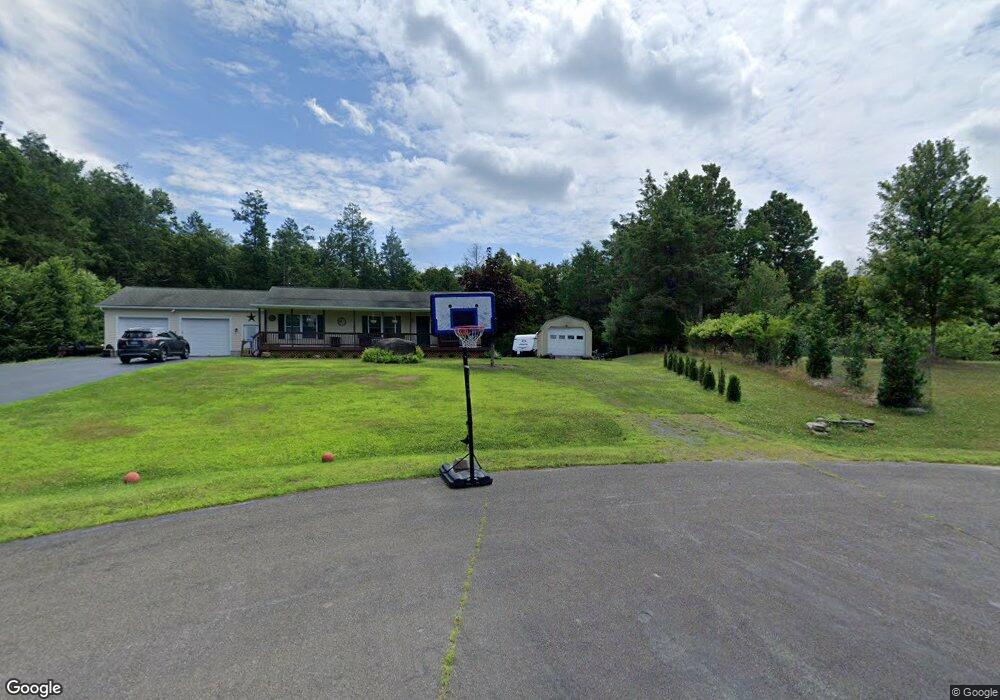
98 South Ln Neversink, NY 12765
Estimated Value: $181,822 - $246,000
1
Bed
1
Bath
648
Sq Ft
$344/Sq Ft
Est. Value
About This Home
This home is located at 98 South Ln, Neversink, NY 12765 and is currently estimated at $223,206, approximately $344 per square foot. 98 South Ln is a home located in Sullivan County with nearby schools including Tri-Valley Elementary School and Tri-Valley Secondary School.
Ownership History
Date
Name
Owned For
Owner Type
Purchase Details
Closed on
Oct 29, 2019
Sold by
Jacks Christopher and Jacks Ann M
Bought by
Maund Katrina and Budd Jason
Current Estimated Value
Home Financials for this Owner
Home Financials are based on the most recent Mortgage that was taken out on this home.
Original Mortgage
$109,283
Outstanding Balance
$96,236
Interest Rate
3.65%
Mortgage Type
FHA
Estimated Equity
$126,970
Purchase Details
Closed on
Feb 2, 2006
Sold by
Hennessy Janice
Bought by
Jacks Christopher
Purchase Details
Closed on
Jan 22, 1998
Purchase Details
Closed on
Aug 22, 1997
Sold by
Delapena James
Bought by
Hennessy Janice
Create a Home Valuation Report for This Property
The Home Valuation Report is an in-depth analysis detailing your home's value as well as a comparison with similar homes in the area
Home Values in the Area
Average Home Value in this Area
Purchase History
| Date | Buyer | Sale Price | Title Company |
|---|---|---|---|
| Maund Katrina | $111,300 | -- | |
| Jacks Christopher | $124,900 | Jane Bloom | |
| -- | -- | -- | |
| Hennessy Janice | $20,000 | -- |
Source: Public Records
Mortgage History
| Date | Status | Borrower | Loan Amount |
|---|---|---|---|
| Open | Maund Katrina | $109,283 |
Source: Public Records
Tax History Compared to Growth
Tax History
| Year | Tax Paid | Tax Assessment Tax Assessment Total Assessment is a certain percentage of the fair market value that is determined by local assessors to be the total taxable value of land and additions on the property. | Land | Improvement |
|---|---|---|---|---|
| 2024 | $2,075 | $2,400 | $700 | $1,700 |
| 2023 | $1,993 | $2,400 | $700 | $1,700 |
| 2022 | $2,055 | $2,300 | $700 | $1,600 |
| 2021 | $2,008 | $2,300 | $700 | $1,600 |
| 2020 | $1,907 | $2,050 | $700 | $1,350 |
| 2019 | $1,850 | $2,050 | $700 | $1,350 |
| 2018 | $1,850 | $2,050 | $700 | $1,350 |
| 2017 | $1,881 | $2,050 | $700 | $1,350 |
| 2016 | $1,849 | $2,050 | $700 | $1,350 |
| 2015 | -- | $2,050 | $700 | $1,350 |
| 2014 | -- | $2,050 | $700 | $1,350 |
Source: Public Records
Map
Nearby Homes
- 000 Little Hollow Rd
- 211 Hastings Ct
- 94 Hastings Dr
- 44 Smith Ln
- 410 Main St
- 54 Davis Ln
- 0 Hall Rd
- 128 Hall Rd
- 19 Hall Rd
- 14 Red Rock Rd
- 10 Red Rock Rd
- 15 Red Rock Rd
- 936 State Route 55a
- 0 Skyline Unit KEY873060
- 7219 New York 42
- 203 Skyline Dr
- 0 State Route 42 Route Unit KEY858708
- 650 Thunder Hill Rd
- 266 Sugar Loaf Rd
- 107 Overlook Rd
- 44 South Ln
- 35 S Hill Rd
- 15 Reynolds Rd
- 6 State Route 55
- 3 State Route 55
- 5 State Route 55
- 2 State Route 55
- 4 State Route 55
- 87 Main St
- 72 Main St
- 88 Main St
- 4 Hastings Dr
- 7824 State Route 42 None
- 7824 New York 42
- 224 Smith Ln
- 7790 State Route 42
- 7827 State Route 42
- 14 Hastings Dr
- 7 Hastings Dr
- 55 S Hill Rd