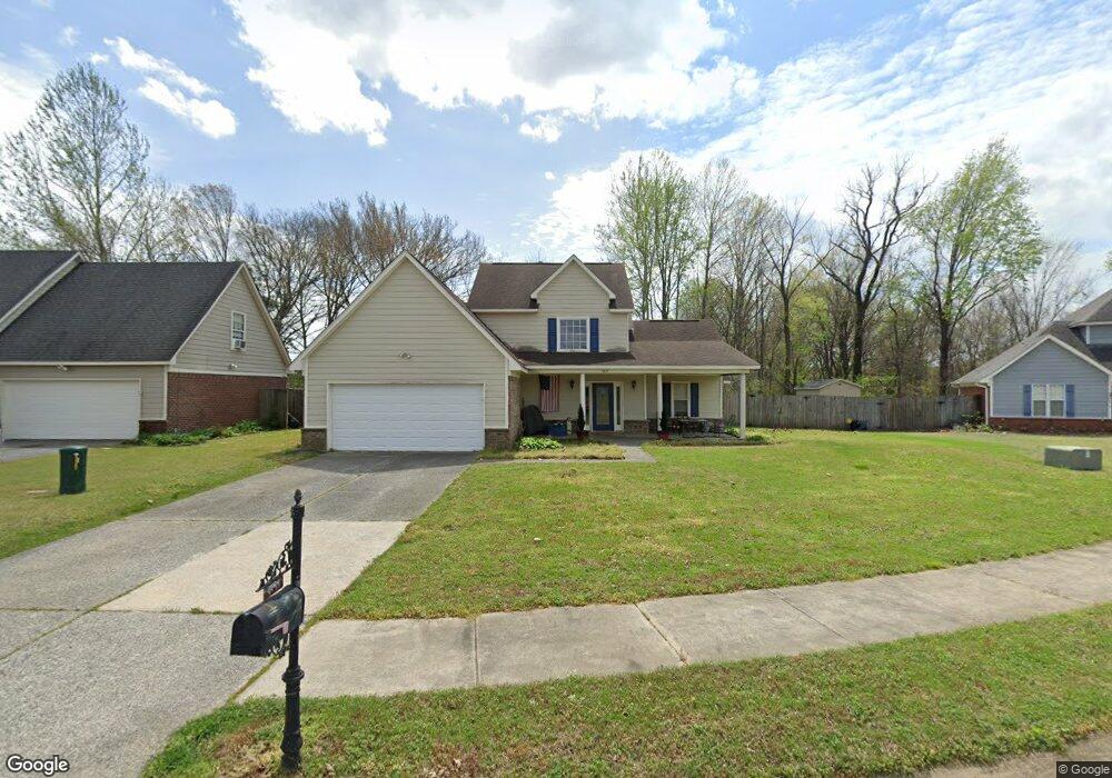
9837 Alexanders Ridge Dr Olive Branch, MS 38654
Estimated Value: $260,000 - $297,000
3
Beds
2
Baths
1,610
Sq Ft
$172/Sq Ft
Est. Value
About This Home
This home is located at 9837 Alexanders Ridge Dr, Olive Branch, MS 38654 and is currently estimated at $277,373, approximately $172 per square foot. 9837 Alexanders Ridge Dr is a home located in DeSoto County with nearby schools including Overpark Elementary School, Center Hill High School, and Desoto Christian Academy.
Ownership History
Date
Name
Owned For
Owner Type
Purchase Details
Closed on
Mar 15, 2010
Sold by
Hsbc Mortgage Services Inc
Bought by
Piper Russell
Current Estimated Value
Home Financials for this Owner
Home Financials are based on the most recent Mortgage that was taken out on this home.
Original Mortgage
$118,591
Interest Rate
5.06%
Mortgage Type
FHA
Purchase Details
Closed on
Nov 24, 2009
Sold by
Clay Karen D and Clay Patrick H
Bought by
Hsbc Mortgage Services Inc
Create a Home Valuation Report for This Property
The Home Valuation Report is an in-depth analysis detailing your home's value as well as a comparison with similar homes in the area
Home Values in the Area
Average Home Value in this Area
Purchase History
| Date | Buyer | Sale Price | Title Company |
|---|---|---|---|
| Piper Russell | -- | None Available | |
| Hsbc Mortgage Services Inc | $107,085 | None Available |
Source: Public Records
Mortgage History
| Date | Status | Borrower | Loan Amount |
|---|---|---|---|
| Previous Owner | Piper Russell | $118,591 |
Source: Public Records
Tax History Compared to Growth
Tax History
| Year | Tax Paid | Tax Assessment Tax Assessment Total Assessment is a certain percentage of the fair market value that is determined by local assessors to be the total taxable value of land and additions on the property. | Land | Improvement |
|---|---|---|---|---|
| 2024 | $1,481 | $13,048 | $2,500 | $10,548 |
| 2023 | $1,481 | $13,048 | $0 | $0 |
| 2022 | $1,481 | $13,048 | $2,500 | $10,548 |
| 2021 | $1,481 | $13,048 | $2,500 | $10,548 |
| 2020 | $1,363 | $12,187 | $2,500 | $9,687 |
| 2019 | $1,363 | $12,187 | $2,500 | $9,687 |
| 2017 | $1,358 | $21,664 | $12,082 | $9,582 |
| 2016 | $1,358 | $12,082 | $2,500 | $9,582 |
| 2015 | $1,658 | $21,664 | $12,082 | $9,582 |
| 2014 | $1,422 | $12,548 | $0 | $0 |
| 2013 | $1,414 | $12,548 | $0 | $0 |
Source: Public Records
Map
Nearby Homes
- 9861 Alexanders Ridge Dr
- 9846 Alexanders Ridge Dr
- 7868 Plantation Ridge Cove
- 8031 Alexander Rd
- 7132 Village Ln
- 8247 Montrose Dr
- 8164 Clubview Dr
- 9429 Laurel Hill S
- 8260 Clubview Dr
- 10023 Goodman Rd
- 8382 Regal Bend Dr
- 7906 Kirkwood Cove
- 8375 Cross Point Dr
- 7925 Kirkwood Cove
- 9194 Rosalie Cove Unit Rosalie Cove
- 7689 Germantown Rd
- 7827 Germantown Rd
- 9269 Pontotoc Place
- 6931 Magnolia Trail Cove
- 10668 Stark Acres Rd
- 9849 Alexanders Ridge Dr
- 9831 Alexanders Ridge Dr
- 7525 Alexander Rd
- 4531 Parish Row
- 4703 Parish Row
- 7627 Meadow Ridge Ln
- 7628 Meadow Ridge Ln
- 7633 Meadow Ridge Ln
- 9858 Alexanders Ridge Dr
- 9873 Alexanders Ridge Dr
- 9873 Alexander Ridge
- 7645 Meadow Ridge Ln
- 7643 Alexanders Ridge Cove
- 7654 Meadow Ridge Ln
- 7655 Alexanders Ridge Cove
- 7657 Meadow Ridge Ln
- 7655 Alexanders Ridge Dr
- 7668 Meadow Ridge Ln
- 7667 Alexanders Ridge Cove
- 9897 Alexander''S Ridge Dr