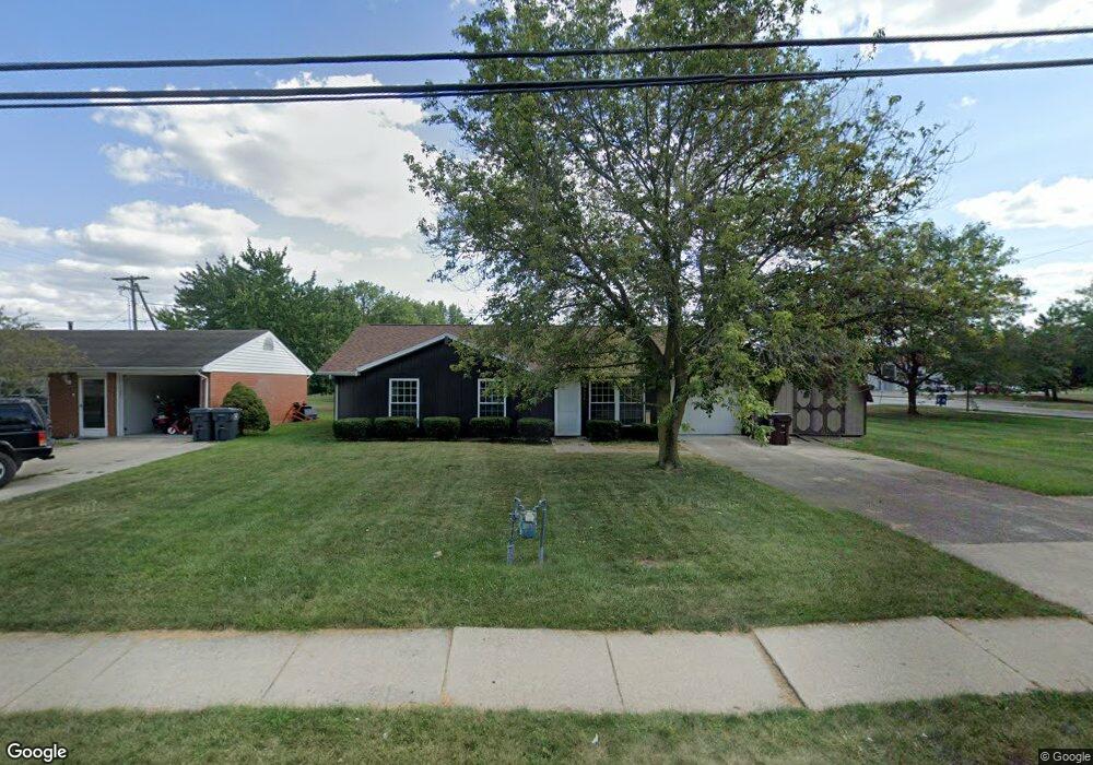
987 Brower Rd Lima, OH 45801
Northside Lima NeighborhoodEstimated Value: $80,000 - $145,000
3
Beds
1
Bath
1,102
Sq Ft
$110/Sq Ft
Est. Value
About This Home
This home is located at 987 Brower Rd, Lima, OH 45801 and is currently estimated at $121,562, approximately $110 per square foot. 987 Brower Rd is a home located in Allen County with nearby schools including Elida Elementary School, Elida Middle School, and Elida High School.
Ownership History
Date
Name
Owned For
Owner Type
Purchase Details
Closed on
May 28, 1997
Sold by
Schroeder Kevin
Bought by
Mcgue Shawn
Current Estimated Value
Home Financials for this Owner
Home Financials are based on the most recent Mortgage that was taken out on this home.
Original Mortgage
$49,606
Outstanding Balance
$7,277
Interest Rate
8.27%
Mortgage Type
FHA
Estimated Equity
$114,285
Purchase Details
Closed on
Apr 21, 1989
Bought by
Schroeder Kevin R
Create a Home Valuation Report for This Property
The Home Valuation Report is an in-depth analysis detailing your home's value as well as a comparison with similar homes in the area
Home Values in the Area
Average Home Value in this Area
Purchase History
| Date | Buyer | Sale Price | Title Company |
|---|---|---|---|
| Mcgue Shawn | $49,250 | -- | |
| Schroeder Kevin R | $42,000 | -- |
Source: Public Records
Mortgage History
| Date | Status | Borrower | Loan Amount |
|---|---|---|---|
| Open | Mcgue Shawn | $49,606 |
Source: Public Records
Tax History
| Year | Tax Paid | Tax Assessment Tax Assessment Total Assessment is a certain percentage of the fair market value that is determined by local assessors to be the total taxable value of land and additions on the property. | Land | Improvement |
|---|---|---|---|---|
| 2024 | $1,181 | $28,670 | $5,040 | $23,630 |
| 2023 | $1,065 | $23,210 | $4,100 | $19,110 |
| 2022 | $1,079 | $23,210 | $4,100 | $19,110 |
| 2021 | $1,085 | $23,210 | $4,100 | $19,110 |
| 2020 | $1,003 | $20,130 | $3,890 | $16,240 |
| 2019 | $1,003 | $20,130 | $3,890 | $16,240 |
| 2018 | $989 | $20,130 | $3,890 | $16,240 |
| 2017 | $958 | $20,130 | $3,890 | $16,240 |
| 2016 | $957 | $20,130 | $3,890 | $16,240 |
| 2015 | $989 | $20,130 | $3,890 | $16,240 |
| 2014 | $989 | $20,200 | $3,890 | $16,310 |
| 2013 | $960 | $20,200 | $3,890 | $16,310 |
Source: Public Records
Map
Nearby Homes
- 2355 Burden Dr
- 2380 Mandolin Dr
- 2371 Mandolin Dr
- 2381 Mandolin Dr
- 2224 N Metcalf St
- 2286 N Cole St
- 2126 N Metcalf St
- 660 W Lane Ave
- 500 W Northern Ave
- 1705 Karen St
- 520 Kenmore St
- 475 Kenmore St
- 1889 N Metcalf St
- 1809 N Metcalf St
- 2113 Kimberly Dr
- 1212 Virginia Ave
- 2129 Reinell Ave
- 1734 Tahoe Place
- 207 W Lane Ave
- 1743 Sherry Lee Dr
Your Personal Tour Guide
Ask me questions while you tour the home.