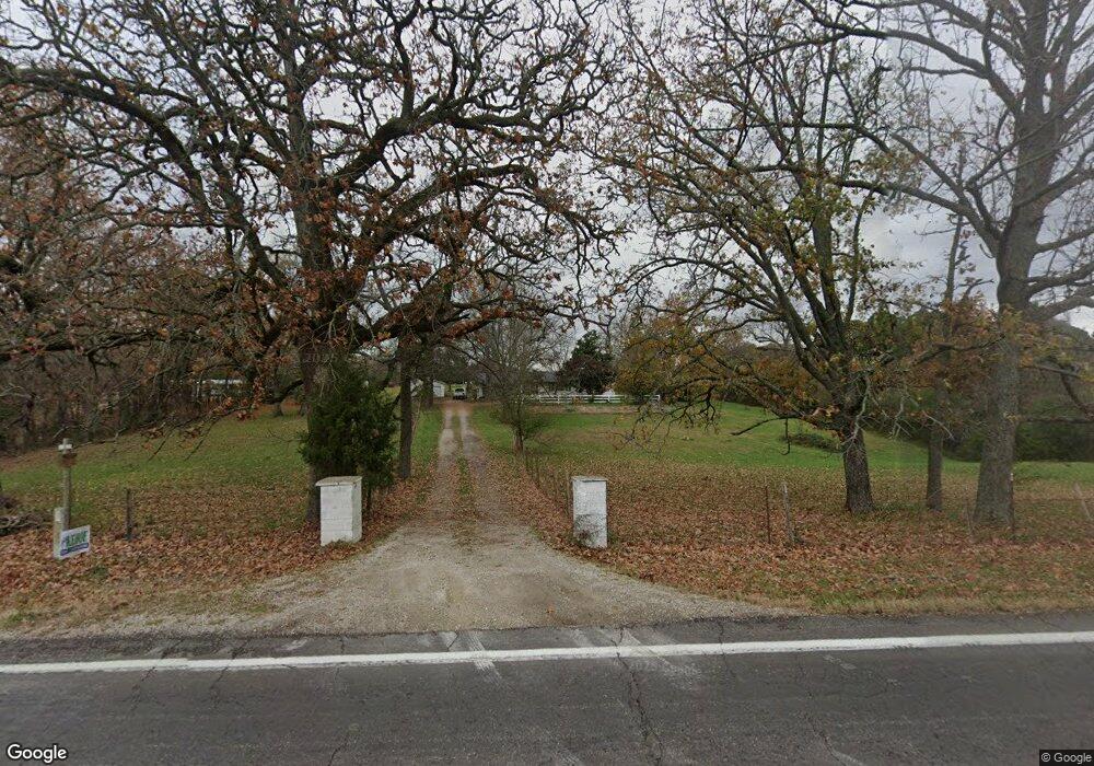
9895 State Route 17 West Plains, MO 65775
Estimated Value: $238,000 - $274,000
--
Bed
--
Bath
1,550
Sq Ft
$162/Sq Ft
Est. Value
About This Home
This home is located at 9895 State Route 17, West Plains, MO 65775 and is currently estimated at $251,697, approximately $162 per square foot. 9895 State Route 17 is a home with nearby schools including Glenwood Elementary School and Faith Assembly Christian School.
Ownership History
Date
Name
Owned For
Owner Type
Purchase Details
Closed on
Feb 4, 2022
Sold by
Bryan Bonnie and Bryan Ronnie
Bought by
Antinoro Gerald and Antinoro Laura
Current Estimated Value
Home Financials for this Owner
Home Financials are based on the most recent Mortgage that was taken out on this home.
Original Mortgage
$175,200
Outstanding Balance
$162,686
Interest Rate
3.55%
Mortgage Type
New Conventional
Estimated Equity
$89,011
Purchase Details
Closed on
Jun 7, 2012
Sold by
Spence Vernon and Spence Fern
Bought by
Kimble Louis W
Home Financials for this Owner
Home Financials are based on the most recent Mortgage that was taken out on this home.
Original Mortgage
$15,000
Interest Rate
4.5%
Mortgage Type
Seller Take Back
Create a Home Valuation Report for This Property
The Home Valuation Report is an in-depth analysis detailing your home's value as well as a comparison with similar homes in the area
Home Values in the Area
Average Home Value in this Area
Purchase History
| Date | Buyer | Sale Price | Title Company |
|---|---|---|---|
| Antinoro Gerald | -- | New Title Company Name | |
| Kimble Louis W | -- | None Available |
Source: Public Records
Mortgage History
| Date | Status | Borrower | Loan Amount |
|---|---|---|---|
| Open | Antinoro Gerald | $175,200 | |
| Previous Owner | Kimble Louis W | $15,000 |
Source: Public Records
Tax History Compared to Growth
Tax History
| Year | Tax Paid | Tax Assessment Tax Assessment Total Assessment is a certain percentage of the fair market value that is determined by local assessors to be the total taxable value of land and additions on the property. | Land | Improvement |
|---|---|---|---|---|
| 2025 | $594 | $16,400 | $3,870 | $12,530 |
| 2024 | $541 | $14,670 | -- | -- |
| 2023 | $541 | $14,670 | $0 | $0 |
| 2022 | $516 | $14,000 | $0 | $0 |
| 2021 | $483 | $14,000 | $0 | $0 |
| 2020 | $483 | $12,720 | $0 | $0 |
| 2019 | $506 | $12,720 | $0 | $0 |
| 2018 | $484 | $12,170 | $0 | $0 |
| 2017 | $474 | $12,170 | $0 | $0 |
| 2015 | -- | $12,170 | $0 | $0 |
| 2014 | -- | $12,160 | $0 | $0 |
| 2013 | -- | $12,160 | $0 | $0 |
Source: Public Records
Map
Nearby Homes
- 9744 County Road 8270
- 9871 Private Road 8291
- 000 County Road 8190
- 000 the Timbers
- 1239 County Road 8620
- Lot #1 County Road 8510
- 552 County Road 8500
- 557 County Road 8500
- 9888 County Road 8490
- 625 County Road 8330
- 000 County Road 8800
- 000 Us Highway 160 W
- 9666 County Road 6070
- 9681 Private Road 6685
- 000 County Road 8230
- 000 County Road 8490
- 10068 County Road 8490
- 000 Private Road 8825
- 1100 County Road 8270
- 0 Lanton Rd
- 9895 Missouri 17
- 9907 State Route 17
- 9889 State Route 17
- 9889 Missouri 17
- 9931 State Route 17
- 9894 State Route 17
- 9734 County Road 8270
- 9912 State Route 17
- 9736 County Road 8270
- 9864 State Route 17
- 9751 County Road 8270
- 9924 State Route 17
- 9979 State Route 17
- 9720 County Road 8270
- 9852 State Route 17
- 9712 County Road 8270
- 9793 County Road 8270
- 9818 Private Road 8319 Unit 8319
- 9818 Private Road 8319
- 9703 County Road 8270