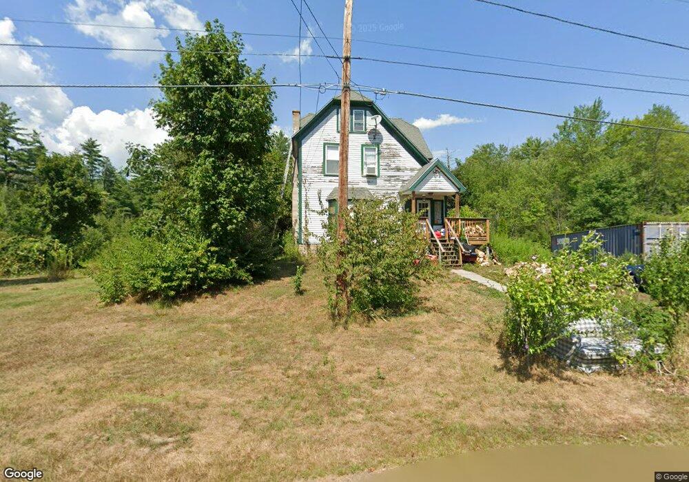
99 Brookside Rd Orange, MA 01364
Estimated Value: $296,115 - $365,000
3
Beds
2
Baths
1,664
Sq Ft
$203/Sq Ft
Est. Value
About This Home
This home is located at 99 Brookside Rd, Orange, MA 01364 and is currently estimated at $337,529, approximately $202 per square foot. 99 Brookside Rd is a home located in Franklin County with nearby schools including Fisher Hill and Ralph C Mahar Regional School.
Ownership History
Date
Name
Owned For
Owner Type
Purchase Details
Closed on
Apr 17, 1998
Sold by
Stroup Kevin D
Bought by
Stroup Arlene D
Current Estimated Value
Home Financials for this Owner
Home Financials are based on the most recent Mortgage that was taken out on this home.
Original Mortgage
$40,000
Outstanding Balance
$7,600
Interest Rate
7.11%
Mortgage Type
Purchase Money Mortgage
Estimated Equity
$329,929
Create a Home Valuation Report for This Property
The Home Valuation Report is an in-depth analysis detailing your home's value as well as a comparison with similar homes in the area
Home Values in the Area
Average Home Value in this Area
Purchase History
| Date | Buyer | Sale Price | Title Company |
|---|---|---|---|
| Stroup Arlene D | $60,000 | -- |
Source: Public Records
Mortgage History
| Date | Status | Borrower | Loan Amount |
|---|---|---|---|
| Open | Stroup Arlene D | $40,000 |
Source: Public Records
Tax History
| Year | Tax Paid | Tax Assessment Tax Assessment Total Assessment is a certain percentage of the fair market value that is determined by local assessors to be the total taxable value of land and additions on the property. | Land | Improvement |
|---|---|---|---|---|
| 2025 | $40 | $242,300 | $25,300 | $217,000 |
| 2024 | $3,751 | $215,100 | $25,300 | $189,800 |
| 2023 | $3,373 | $187,800 | $25,300 | $162,500 |
| 2022 | $3,061 | $160,100 | $25,300 | $134,800 |
| 2021 | $3,044 | $151,800 | $41,000 | $110,800 |
| 2020 | $2,930 | $144,100 | $39,100 | $105,000 |
| 2019 | $2,892 | $128,400 | $35,000 | $93,400 |
| 2018 | $2,591 | $118,100 | $33,800 | $84,300 |
| 2017 | $2,507 | $118,100 | $33,800 | $84,300 |
| 2016 | $2,424 | $111,700 | $33,800 | $77,900 |
| 2015 | $2,243 | $108,000 | $30,100 | $77,900 |
| 2014 | $2,233 | $113,100 | $26,300 | $86,800 |
Source: Public Records
Map
Nearby Homes
- 100 Brookside Rd
- 85 Brookside Rd
- 109 Brookside Rd
- 76 Brookside Rd
- 115 Brookside Rd
- 112 Brookside Rd
- 70 Brookside Rd
- 67 Brookside Rd
- 52 Bianca Dr
- 119 Brookside Rd
- 63 Brookside Rd
- 116 Brookside Rd
- 56 Riverside Dr
- 58 Brookside Rd
- 58 Benham St
- 64 Benham St
- 27 Riverside Dr
- 126 Brookside Rd
- 27 Riverside Dr
- 20 James Ln
Your Personal Tour Guide
Ask me questions while you tour the home.