99 Far Echo Rd Moultonborough, NH 03254
Estimated Value: $821,000 - $1,037,000
3
Beds
2
Baths
1,706
Sq Ft
$567/Sq Ft
Est. Value
About This Home
This home is located at 99 Far Echo Rd, Moultonborough, NH 03254 and is currently estimated at $968,107, approximately $567 per square foot. 99 Far Echo Rd is a home with nearby schools including Moultonborough Central School and Moultonborough Academy High School.
Ownership History
Date
Name
Owned For
Owner Type
Purchase Details
Closed on
Oct 10, 1996
Sold by
Critchlow David S and Critchlow Mary R
Bought by
Merrie J Weinstein T
Current Estimated Value
Home Financials for this Owner
Home Financials are based on the most recent Mortgage that was taken out on this home.
Original Mortgage
$80,000
Outstanding Balance
$7,326
Interest Rate
8.06%
Mortgage Type
Purchase Money Mortgage
Estimated Equity
$960,781
Create a Home Valuation Report for This Property
The Home Valuation Report is an in-depth analysis detailing your home's value as well as a comparison with similar homes in the area
Home Values in the Area
Average Home Value in this Area
Purchase History
| Date | Buyer | Sale Price | Title Company |
|---|---|---|---|
| Merrie J Weinstein T | $168,500 | -- |
Source: Public Records
Mortgage History
| Date | Status | Borrower | Loan Amount |
|---|---|---|---|
| Open | Merrie J Weinstein T | $80,000 |
Source: Public Records
Tax History Compared to Growth
Tax History
| Year | Tax Paid | Tax Assessment Tax Assessment Total Assessment is a certain percentage of the fair market value that is determined by local assessors to be the total taxable value of land and additions on the property. | Land | Improvement |
|---|---|---|---|---|
| 2024 | $4,673 | $827,100 | $617,300 | $209,800 |
| 2023 | $3,863 | $677,700 | $472,400 | $205,300 |
| 2022 | $2,567 | $537,000 | $425,400 | $111,600 |
| 2021 | $3,306 | $473,600 | $347,800 | $125,800 |
| 2020 | $3,346 | $469,300 | $347,800 | $121,500 |
| 2019 | $3,280 | $458,800 | $347,500 | $111,300 |
| 2018 | $3,333 | $431,800 | $321,700 | $110,100 |
| 2017 | $21,770 | $434,200 | $321,700 | $112,500 |
| 2016 | $21,040 | $433,000 | $321,700 | $111,300 |
| 2015 | $3,945 | $437,800 | $321,700 | $116,100 |
| 2014 | $3,879 | $437,800 | $321,700 | $116,100 |
| 2013 | $3,820 | $439,600 | $321,700 | $117,900 |
Source: Public Records
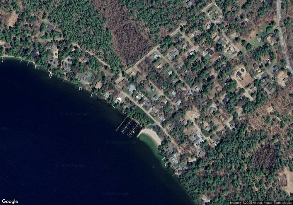
Map
Nearby Homes
- 31 Rays Way
- 16 Long Island Rd
- 00 Beede Rd
- 10 Woodridge Rd
- 167 Long Island Rd
- 5 Ferry Rd
- 00 Rivers Rd
- 9 Starboard Ln Unit 1
- 29 Kona Farm Rd
- 14 Island View Dr
- 27 First Point Rd
- 21 Orton Ln
- 7 Flint Dr
- 30 Leopards Leap
- 11 Geery Ln
- 22 Tiger Trail
- 203 Krainewood Dr
- 4 Mill Pond Rd
- 9 Lady Slipper Ln
- 244 Wentworth Shores Rd
- 10 Whitesell Rd
- 8 Whitesell Rd
- 93 Far Echo Rd
- 103 Far Echo Rd
- 12 Whitesell Rd
- 94 Far Echo Rd
- 6 Whitesell Rd
- 107 Far Echo Rd
- 91 Far Echo Rd
- 0 Whitesell Unit 4185995
- 14 Whitesell Rd
- 15 Whitesell Rd
- 90 Far Echo Rd
- 85 Far Echo Rd
- 17 Whitesell Rd
- 4 Whitesell Rd
- 111 Far Echo Rd
- 10 Spinnaker Dr
- 12 Spinnaker Dr
- 86 Far Echo Rd