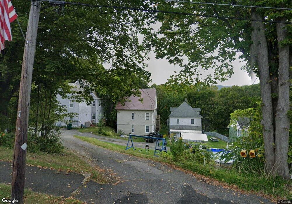
99 Gallup St North Adams, MA 01247
Estimated Value: $107,000 - $202,812
4
Beds
2
Baths
2,450
Sq Ft
$65/Sq Ft
Est. Value
About This Home
This home is located at 99 Gallup St, North Adams, MA 01247 and is currently estimated at $159,203, approximately $64 per square foot. 99 Gallup St is a home located in Berkshire County with nearby schools including Colegrove Park Elementary School and Drury High School.
Ownership History
Date
Name
Owned For
Owner Type
Purchase Details
Closed on
Feb 23, 2021
Sold by
Beverly Glenn A and Beverly Mary A
Bought by
Therrien Edward E and Therrien Connie J
Current Estimated Value
Purchase Details
Closed on
Nov 10, 2017
Sold by
Brames Michael
Bought by
Beverly Glenn A and Beverly Mary A
Purchase Details
Closed on
Oct 15, 1992
Sold by
Boston Five Cents Sb
Bought by
Beverly Glenn A and Beverly Mary A
Purchase Details
Closed on
Sep 11, 1991
Sold by
Dilego Ronald R and Dilego Diane M
Bought by
Boston 5 Cents Sb
Purchase Details
Closed on
Jun 30, 1988
Sold by
Mulik Charles J
Bought by
Dilego Ronald R
Create a Home Valuation Report for This Property
The Home Valuation Report is an in-depth analysis detailing your home's value as well as a comparison with similar homes in the area
Home Values in the Area
Average Home Value in this Area
Purchase History
| Date | Buyer | Sale Price | Title Company |
|---|---|---|---|
| Therrien Edward E | $18,000 | None Available | |
| Beverly Glenn A | $41,120 | -- | |
| Beverly Glenn A | $41,120 | -- | |
| Beverly Glenn A | $18,000 | -- | |
| Beverly Glenn A | $18,000 | -- | |
| Boston 5 Cents Sb | $40,500 | -- | |
| Boston 5 Cents Sb | $40,500 | -- | |
| Dilego Ronald R | $67,500 | -- |
Source: Public Records
Mortgage History
| Date | Status | Borrower | Loan Amount |
|---|---|---|---|
| Previous Owner | Dilego Ronald R | $44,000 | |
| Previous Owner | Dilego Ronald R | $30,000 |
Source: Public Records
Tax History Compared to Growth
Tax History
| Year | Tax Paid | Tax Assessment Tax Assessment Total Assessment is a certain percentage of the fair market value that is determined by local assessors to be the total taxable value of land and additions on the property. | Land | Improvement |
|---|---|---|---|---|
| 2025 | $1,826 | $109,300 | $28,400 | $80,900 |
| 2024 | $1,714 | $100,000 | $26,000 | $74,000 |
| 2023 | $1,574 | $89,100 | $26,000 | $63,100 |
| 2022 | $1,555 | $83,900 | $26,000 | $57,900 |
| 2021 | $1,446 | $77,700 | $24,100 | $53,600 |
| 2020 | $1,397 | $75,000 | $23,000 | $52,000 |
| 2019 | $1,406 | $73,600 | $23,500 | $50,100 |
| 2018 | $1,395 | $75,900 | $25,200 | $50,700 |
| 2017 | $1,331 | $75,300 | $25,000 | $50,300 |
| 2016 | $1,309 | $75,300 | $25,000 | $50,300 |
| 2015 | $1,293 | $77,500 | $25,800 | $51,700 |
Source: Public Records
Map
Nearby Homes
- 95 Gallup St
- 103 Gallup St Unit 105
- 89 Gallup St Unit 91
- 107 Gallup St
- 117 Gallup St
- 112 Gallup St Unit 114
- 80 Gallup St
- 116 Gallup St Unit 118
- 139 Reed St
- 137 Reed St
- 234 Union St
- 122 Gallup St
- 76 Gallup St Unit 78
- 133 Reed St
- 59 Gallup St
- 419 E Main St Unit 421
- 429 E Main St
- 403 E Main St
- 62 Gallup St
- 449 1/2 E Main St