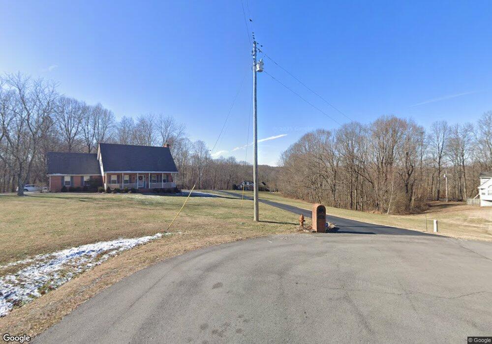
99 Mockingbird Ln Lafayette, TN 37083
Estimated Value: $374,000 - $604,000
--
Bed
2
Baths
1,906
Sq Ft
$247/Sq Ft
Est. Value
About This Home
This home is located at 99 Mockingbird Ln, Lafayette, TN 37083 and is currently estimated at $470,861, approximately $247 per square foot. 99 Mockingbird Ln is a home located in Macon County with nearby schools including Lighthouse Academy.
Ownership History
Date
Name
Owned For
Owner Type
Purchase Details
Closed on
Oct 2, 2009
Bought by
Fitzgerald Robert and Fitzgerald Kimberly
Current Estimated Value
Purchase Details
Closed on
Feb 24, 2009
Sold by
Smidebush Mark A
Bought by
Fitzgerald Robert
Purchase Details
Closed on
Jun 15, 2007
Sold by
White Randall D
Bought by
Smidebush Mark A
Purchase Details
Closed on
Jun 1, 2004
Sold by
Julianne Brewer
Bought by
White Randall D
Purchase Details
Closed on
May 19, 2000
Sold by
Troy Brewer
Bought by
Julianne Brewer
Purchase Details
Closed on
Aug 4, 1989
Bought by
Hale J Gregory
Create a Home Valuation Report for This Property
The Home Valuation Report is an in-depth analysis detailing your home's value as well as a comparison with similar homes in the area
Home Values in the Area
Average Home Value in this Area
Purchase History
| Date | Buyer | Sale Price | Title Company |
|---|---|---|---|
| Fitzgerald Robert | $196,000 | -- | |
| Fitzgerald Robert | $196,000 | -- | |
| Smidebush Mark A | $227,000 | -- | |
| White Randall D | $193,850 | -- | |
| Julianne Brewer | -- | -- | |
| Hale J Gregory | -- | -- |
Source: Public Records
Tax History Compared to Growth
Tax History
| Year | Tax Paid | Tax Assessment Tax Assessment Total Assessment is a certain percentage of the fair market value that is determined by local assessors to be the total taxable value of land and additions on the property. | Land | Improvement |
|---|---|---|---|---|
| 2024 | $1,502 | $106,325 | $24,025 | $82,300 |
| 2023 | $1,502 | $106,325 | $0 | $0 |
| 2022 | $1,397 | $58,225 | $11,675 | $46,550 |
| 2021 | $1,397 | $58,225 | $11,675 | $46,550 |
| 2020 | $1,397 | $58,225 | $11,675 | $46,550 |
| 2019 | $1,397 | $58,225 | $11,675 | $46,550 |
| 2018 | $1,288 | $58,225 | $11,675 | $46,550 |
| 2017 | $1,323 | $52,500 | $9,625 | $42,875 |
| 2016 | $1,260 | $52,500 | $9,625 | $42,875 |
| 2015 | $1,260 | $52,500 | $9,625 | $42,875 |
| 2014 | $1,260 | $52,487 | $0 | $0 |
Source: Public Records
Map
Nearby Homes
- 4650 Highway 52 Bypass W
- 288 Fox Run Ln
- 580 Fox Run Ln
- 615 Fox Run Ln
- 4901 Highway 52 W
- 0 Hwy 52 Bypass West W
- 0 Carter Rd
- 3924 Highway 52 W
- 219 Cheney Ln
- 0 Old Hwy 52 W Unit RTC2619135
- 1104 Pointe Ln
- 0 Highway 52 W Unit RTC2515576
- 265 Evans Rd
- 213 David Ln
- 1 Horton Ln
- 2134 Oakdale Rd
- 2590 Oakdale Rd
- 2486 Oakdale Rd
- 2268 Old Highway 52
- 221 Creekside Ln
- 96 Bluebird Ln
- 98 Mockingbird Ln
- 91 Mockingbird Ln
- 100 Bluebird Ln
- 38 Bluebird Ln
- 60 Bluebird Ln
- 95 Bluebird Ln
- 96 Martin Ln
- 750 S Long Creek Rd
- 64 Mockingbird Ln
- 71 Bluebird Ln
- 29 Bluebird Ln
- 215 Fox Run Ln
- 87 Fox Run Ln
- 65 Martin Ln
- 74 Martin Ln
- 297 Fox Run Ln
- 206 Fox Run Ln
- 40 Martin Ln
- 4604 Highway 52 Bypass W