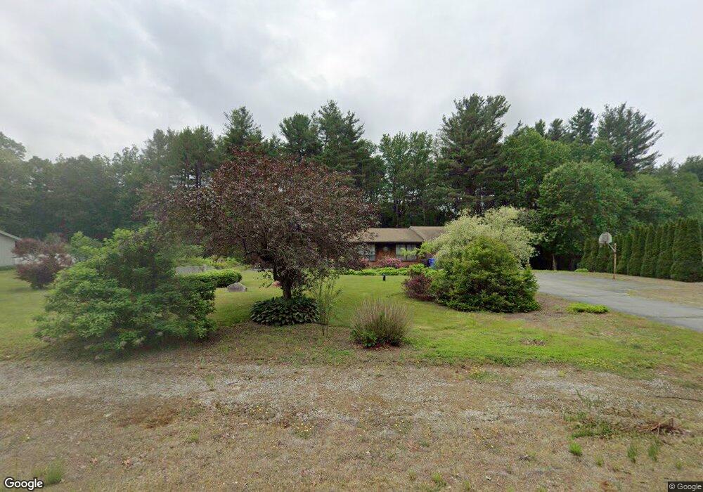
99 Wiley Hill Rd Londonderry, NH 03053
Estimated Value: $564,000 - $630,000
3
Beds
3
Baths
2,141
Sq Ft
$278/Sq Ft
Est. Value
About This Home
This home is located at 99 Wiley Hill Rd, Londonderry, NH 03053 and is currently estimated at $595,424, approximately $278 per square foot. 99 Wiley Hill Rd is a home with nearby schools including Matthew Thornton Elementary School, Londonderry Middle School, and Londonderry Senior High School.
Ownership History
Date
Name
Owned For
Owner Type
Purchase Details
Closed on
Jan 17, 2025
Sold by
Shackford Ft and Tellier
Bought by
Michaud Diane and Michaud Christopher
Current Estimated Value
Home Financials for this Owner
Home Financials are based on the most recent Mortgage that was taken out on this home.
Original Mortgage
$530,626
Outstanding Balance
$526,855
Interest Rate
6.69%
Mortgage Type
FHA
Estimated Equity
$68,569
Purchase Details
Closed on
Oct 4, 2017
Sold by
Shackford Richard M and Shackford Gergette P
Bought by
Shackford Ret and Shackford
Create a Home Valuation Report for This Property
The Home Valuation Report is an in-depth analysis detailing your home's value as well as a comparison with similar homes in the area
Home Values in the Area
Average Home Value in this Area
Purchase History
| Date | Buyer | Sale Price | Title Company |
|---|---|---|---|
| Michaud Diane | $550,000 | None Available | |
| Michaud Diane | $550,000 | None Available | |
| Shackford Ret | -- | -- | |
| Shackford Ret | -- | -- | |
| Shackford Ret | -- | -- |
Source: Public Records
Mortgage History
| Date | Status | Borrower | Loan Amount |
|---|---|---|---|
| Open | Michaud Diane | $530,626 | |
| Closed | Michaud Diane | $530,626 |
Source: Public Records
Tax History Compared to Growth
Tax History
| Year | Tax Paid | Tax Assessment Tax Assessment Total Assessment is a certain percentage of the fair market value that is determined by local assessors to be the total taxable value of land and additions on the property. | Land | Improvement |
|---|---|---|---|---|
| 2024 | $8,041 | $498,200 | $200,200 | $298,000 |
| 2023 | $7,797 | $498,200 | $200,200 | $298,000 |
| 2022 | $7,261 | $392,900 | $150,000 | $242,900 |
| 2021 | $7,222 | $392,900 | $150,000 | $242,900 |
| 2020 | $6,831 | $339,700 | $112,600 | $227,100 |
| 2019 | $6,587 | $339,700 | $112,600 | $227,100 |
| 2018 | $6,547 | $300,300 | $93,900 | $206,400 |
| 2017 | $6,489 | $300,300 | $93,900 | $206,400 |
| 2016 | $6,456 | $300,300 | $93,900 | $206,400 |
| 2015 | $6,312 | $300,300 | $93,900 | $206,400 |
| 2014 | $6,333 | $300,300 | $93,900 | $206,400 |
| 2011 | -- | $299,900 | $93,900 | $206,000 |
Source: Public Records
Map
Nearby Homes
- 15 Alan Cir
- 10 Jason Dr
- 4 Quincy Rd Unit A
- 20 Locke Mill Dr
- 13 Moose Hollow Rd
- 19 Dixon Dr
- 12 Wiley Hill Rd
- 3 Chandler Dr
- 6 Wiley Hill Rd
- 88 High Range Rd
- 90 High Range Rd
- 9 High Range Rd
- 30 Windsor Dr Unit 9
- 35 Windsor Dr Unit 5
- 4 Delphi Way
- 1 Delphi Way
- 1 Delphi Way Unit 10
- 5 Hickory Hill Dr
- 5 Delphi Way
- 3 Delphi Way