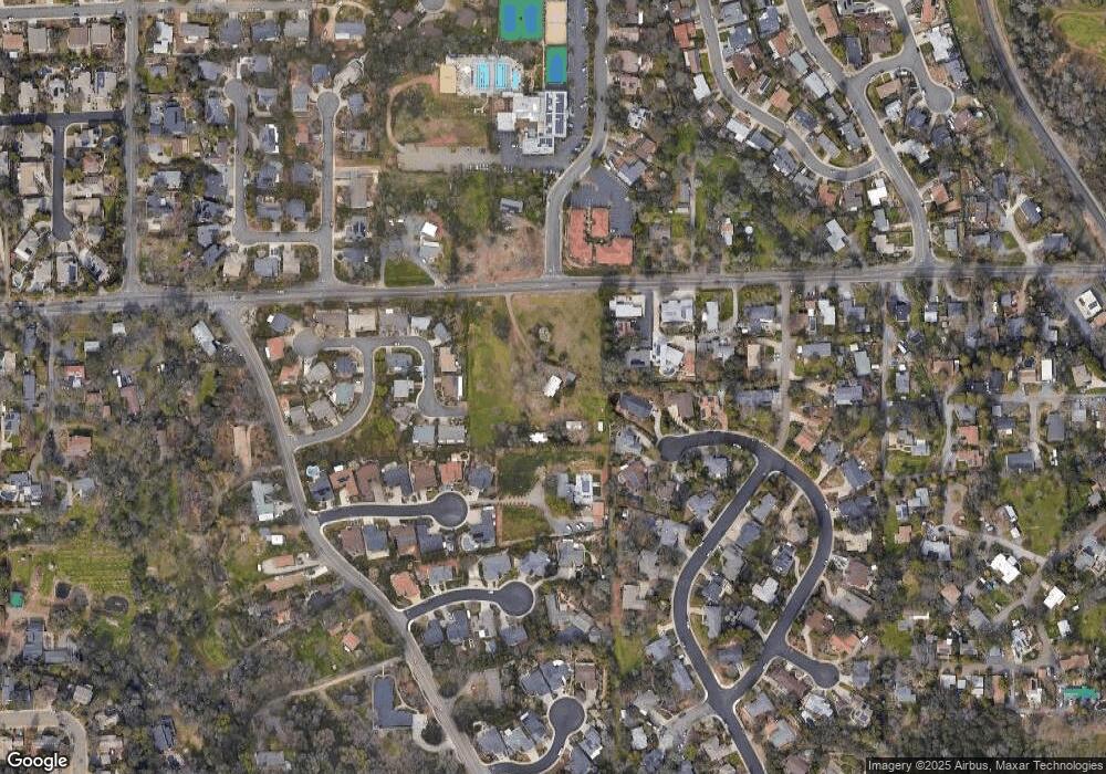
990 Dairy Rd Auburn, CA 95603
Estimated Value: $390,000 - $573,000
3
Beds
1
Bath
1,200
Sq Ft
$420/Sq Ft
Est. Value
About This Home
This home is located at 990 Dairy Rd, Auburn, CA 95603 and is currently estimated at $503,412, approximately $419 per square foot. 990 Dairy Rd is a home located in Placer County with nearby schools including Auburn Elementary School, Placer High School, and Bowman Charter School.
Ownership History
Date
Name
Owned For
Owner Type
Purchase Details
Closed on
Jun 24, 2013
Sold by
Pinegar Judy Joy
Bought by
Pinegar Kevin Scott
Current Estimated Value
Purchase Details
Closed on
Apr 22, 2013
Sold by
Prichard Rose Loraine and Pinegar Judy Joy
Bought by
Pinegar Judy Joy
Purchase Details
Closed on
Jul 5, 2006
Sold by
Prichard Rose Lorraine
Bought by
Prichard Rose Lorraine and Pinegar Judy Joy
Purchase Details
Closed on
Jul 10, 1998
Sold by
Lorraine Prichard R
Bought by
Prichard Rose Lorraine
Purchase Details
Closed on
Mar 4, 1998
Sold by
Prichard R Lorraine
Bought by
Prichard Rose Lorraine
Create a Home Valuation Report for This Property
The Home Valuation Report is an in-depth analysis detailing your home's value as well as a comparison with similar homes in the area
Home Values in the Area
Average Home Value in this Area
Purchase History
| Date | Buyer | Sale Price | Title Company |
|---|---|---|---|
| Pinegar Kevin Scott | -- | None Available | |
| Pinegar Judy Joy | -- | None Available | |
| Prichard Rose Lorraine | -- | None Available | |
| Prichard Rose Lorraine | -- | -- | |
| Prichard Rose Lorraine | -- | -- |
Source: Public Records
Tax History Compared to Growth
Tax History
| Year | Tax Paid | Tax Assessment Tax Assessment Total Assessment is a certain percentage of the fair market value that is determined by local assessors to be the total taxable value of land and additions on the property. | Land | Improvement |
|---|---|---|---|---|
| 2025 | $1,820 | $77,196 | $25,724 | $51,472 |
| 2023 | $1,820 | $74,200 | $24,726 | $49,474 |
| 2022 | $1,806 | $72,746 | $24,242 | $48,504 |
| 2021 | $1,777 | $71,320 | $23,767 | $47,553 |
| 2020 | $1,771 | $70,590 | $23,524 | $47,066 |
| 2019 | $1,756 | $69,207 | $23,063 | $46,144 |
| 2018 | $1,715 | $67,851 | $22,611 | $45,240 |
| 2017 | $1,665 | $66,521 | $22,168 | $44,353 |
| 2016 | $1,614 | $65,218 | $21,734 | $43,484 |
| 2015 | $1,564 | $64,239 | $21,408 | $42,831 |
| 2014 | $1,520 | $62,981 | $20,989 | $41,992 |
Source: Public Records
Map
Nearby Homes
- 739 Fisher Dr
- 1045 Fox Run Ct
- 655 Shockley Rd
- 12925 Mott Ct
- 120 Skipper Cove
- 1130 Summer Ridge Ct
- 1447 Love Way
- 1141 Slade Ln
- 12327 Hidden Meadows Cir
- 190 Daniels Dr
- 1333 Wesley Ln
- 1331 Wesley Ln
- 12677 Highland Dr
- 561 Silkwood Dr
- 1624 Tulip Cir
- 12225 Alta Mesa Dr
- 1514 Cottonwood Cir Unit 8
- 209 Channel Hill Rd
- 193 E Hillcrest Dr
- 374 Kevin Ct
- 12712 Luther Rd
- 812 Quail Glen Ct
- 816 Quail Glen Ct
- 12706 Luther Rd
- 12645 Town View Dr
- 12570 Meadows Ct
- 12690 Town View Dr
- 12700 Luther Rd
- 12561 Meadows Ct
- 12635 Town View Dr
- 12720 Luther Rd
- 817 Quail Glen Ct
- 12551 Meadows Ct
- 808 Quail Glen Ct
- 12680 Town View Dr
- 12660 Town View Dr
- 12610 Town View Dr
- 12670 Town View Dr
- 811 Quail Glen Ct
- 12726 Luther Rd
