990 Sundance St Eugene, OR 97405
Crest Drive NeighborhoodEstimated Value: $1,120,000 - $1,629,000
3
Beds
4
Baths
4,533
Sq Ft
$313/Sq Ft
Est. Value
About This Home
This home is located at 990 Sundance St, Eugene, OR 97405 and is currently estimated at $1,419,326, approximately $313 per square foot. 990 Sundance St is a home located in Lane County with nearby schools including Adams Elementary School, Arts And Technology Academy At Jefferson, and Churchill High School.
Ownership History
Date
Name
Owned For
Owner Type
Purchase Details
Closed on
May 11, 1999
Sold by
Gietter Ronald T and Gietter Anne Jo
Bought by
Gietter Ronald T and Gietter Jo Anne
Current Estimated Value
Create a Home Valuation Report for This Property
The Home Valuation Report is an in-depth analysis detailing your home's value as well as a comparison with similar homes in the area
Home Values in the Area
Average Home Value in this Area
Purchase History
| Date | Buyer | Sale Price | Title Company |
|---|---|---|---|
| Gietter Ronald T | -- | Cascade Title Co |
Source: Public Records
Tax History
| Year | Tax Paid | Tax Assessment Tax Assessment Total Assessment is a certain percentage of the fair market value that is determined by local assessors to be the total taxable value of land and additions on the property. | Land | Improvement |
|---|---|---|---|---|
| 2025 | $20,280 | $1,050,988 | -- | -- |
| 2024 | $19,963 | $1,020,377 | -- | -- |
| 2023 | $19,963 | $990,658 | $0 | $0 |
| 2022 | $18,165 | $961,804 | $0 | $0 |
| 2021 | $16,527 | $933,791 | $0 | $0 |
| 2020 | $16,206 | $906,594 | $0 | $0 |
| 2019 | $15,576 | $880,189 | $0 | $0 |
| 2018 | $14,674 | $829,663 | $0 | $0 |
| 2017 | $14,041 | $829,663 | $0 | $0 |
| 2016 | $13,758 | $805,498 | $0 | $0 |
| 2015 | $13,228 | $782,037 | $0 | $0 |
| 2014 | $12,893 | $759,259 | $0 | $0 |
Source: Public Records
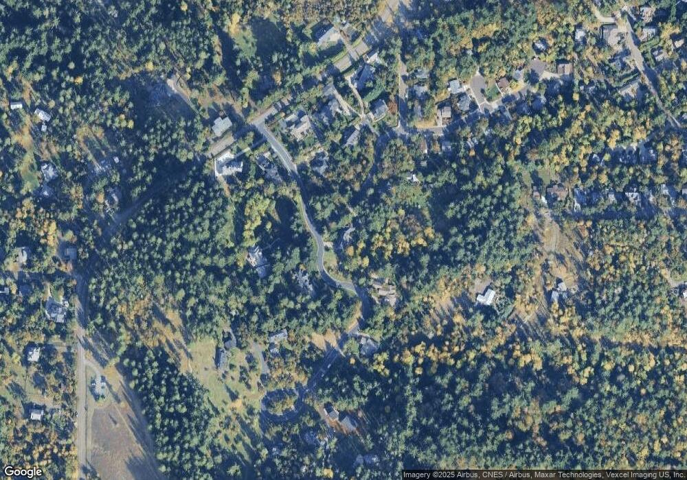
Map
Nearby Homes
- 4040 Southpointe Dr
- 806 Sundance St
- 0 Pine View Ct Unit 758820410
- 0 W 40th Ave Unit 3 545854116
- 0 W 40th Ave Unit 3 639571582
- 3854 Monroe St
- 653 Brookside Dr
- 453 Dellwood Dr
- 320 Dellwood Dr
- 3593 Lawrence St
- 357 W 37th Ave
- 605 Fulvue Dr
- 0 Hidden Meadows
- 278 Rockridge Ct
- 1 Storey Blvd
- 2 Storey Blvd
- 422 Stonewood Dr Unit 422
- 418 Stonewood Dr Unit 418
- 3160 Whitten Dr
- 21 Westbrook Way
- 4023 Southpointe Dr
- 970 Sundance St
- 4010 Southpointe Dr
- 3995 Southpointe Dr
- 3989 Sundial Rd
- 965 Sundance St
- 4035 Southpointe Dr
- 3998 Southpointe Dr
- 3986 Southpointe Dr
- 896 Sundance St
- 3975 Southpointe Dr
- 884 Sundance St
- 945 Sundance St
- 780 W 40th Ave
- 905 Sundance St
- 3970 Southpointe Dr
- 0 Southpointe Dr Unit 21040342
- 0 Southpointe Dr
- 3985 Sundial Rd
- 876 Sundance St
Your Personal Tour Guide
Ask me questions while you tour the home.