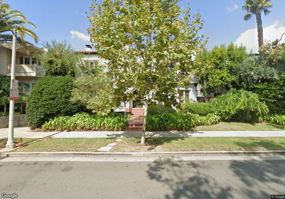
9915 Robbins Dr Beverly Hills, CA 90212
Estimated Value: $3,611,000 - $3,638,000
8
Beds
8
Baths
7,026
Sq Ft
$516/Sq Ft
Est. Value
About This Home
This home is located at 9915 Robbins Dr, Beverly Hills, CA 90212 and is currently estimated at $3,624,500, approximately $515 per square foot. 9915 Robbins Dr is a home located in Los Angeles County with nearby schools including El Rodeo Elementary School, Beverly Hills High School, and Westwood Charter School.
Ownership History
Date
Name
Owned For
Owner Type
Purchase Details
Closed on
Jul 17, 2001
Sold by
Fouts Marie J
Bought by
Fouts Marie J and The Harold J & Marie J Fouts Marital Tr
Current Estimated Value
Purchase Details
Closed on
Apr 2, 1998
Sold by
Fouts Douglas J
Bought by
Fouts Douglas J and The Douglas J Fouts 1998 Revocable Trust
Purchase Details
Closed on
Mar 18, 1998
Sold by
Fouts Harold Jai
Bought by
Fouts Marie J and Fouts Harold J
Purchase Details
Closed on
Dec 22, 1993
Sold by
Fouts Harold Jai
Bought by
Fouts Douglas Jai
Create a Home Valuation Report for This Property
The Home Valuation Report is an in-depth analysis detailing your home's value as well as a comparison with similar homes in the area
Home Values in the Area
Average Home Value in this Area
Purchase History
| Date | Buyer | Sale Price | Title Company |
|---|---|---|---|
| Fouts Marie J | -- | -- | |
| Fouts Douglas J | -- | -- | |
| Fouts Marie J | -- | -- | |
| Fouts Douglas Jai | -- | -- |
Source: Public Records
Tax History Compared to Growth
Tax History
| Year | Tax Paid | Tax Assessment Tax Assessment Total Assessment is a certain percentage of the fair market value that is determined by local assessors to be the total taxable value of land and additions on the property. | Land | Improvement |
|---|---|---|---|---|
| 2025 | $4,134 | $294,885 | $201,261 | $93,624 |
| 2024 | $4,134 | $289,104 | $197,315 | $91,789 |
| 2023 | $4,075 | $283,437 | $193,447 | $89,990 |
| 2022 | $3,970 | $277,880 | $189,654 | $88,226 |
| 2021 | $3,818 | $272,433 | $185,936 | $86,497 |
| 2019 | $3,718 | $264,355 | $180,422 | $83,933 |
| 2018 | $3,493 | $259,173 | $176,885 | $82,288 |
| 2016 | $3,271 | $249,111 | $170,017 | $79,094 |
| 2015 | $3,147 | $245,370 | $167,464 | $77,906 |
| 2014 | $3,085 | $240,564 | $164,184 | $76,380 |
Source: Public Records
Map
Nearby Homes
- 9950 Durant Dr Unit 504
- 9950 Durant Dr Unit 209
- 9950 Durant Dr Unit 406
- 9900 S Santa Monica Blvd Unit 2F
- 9900 S Santa Monica Blvd Unit 3A
- 9900 S Santa Monica Blvd Unit PHE
- 9900 S Santa Monica Blvd Unit 2D
- 211 S Spalding Dr Unit 107N
- 211 S Spalding Dr Unit 205N
- 211 S Spalding Dr Unit 603S
- 211 S Spalding Dr Unit 110N
- 215 S Mccarty Dr
- 321 S Linden Dr
- 405 Shirley Place
- 2170 Century Park E Unit 1507
- 2160 Century Park E Unit 1503
- 2170 Century Park E Unit 1807
- 2160 Century Park E Unit 910
- 2160 Century Park E Unit 503N
- 2160 Century Park E Unit 2101N
- 9921 Robbins Dr Unit 3
- 9921 Robbins Dr
- 9904 Durant Dr
- 9925 Robbins Dr
- 9912 Durant Dr
- 9908 Durant Dr
- 9916 Durant Dr
- 9912 Robbins Dr Unit 9912
- 9904 Robbins Dr
- 9908 Robbins Dr
- 9904 Robbins Dr
- 9912 Robbins Dr
- 223 S Lasky Dr Unit C
- 223 S Lasky Dr
- 223 S Lasky Dr Unit D
- 223 S Lasky Dr Unit B
- 223 S Lasky Dr
- 9910 Robbins Dr Unit 9910.5
- 9910 Robbins Dr
- 9906 Robbins Dr