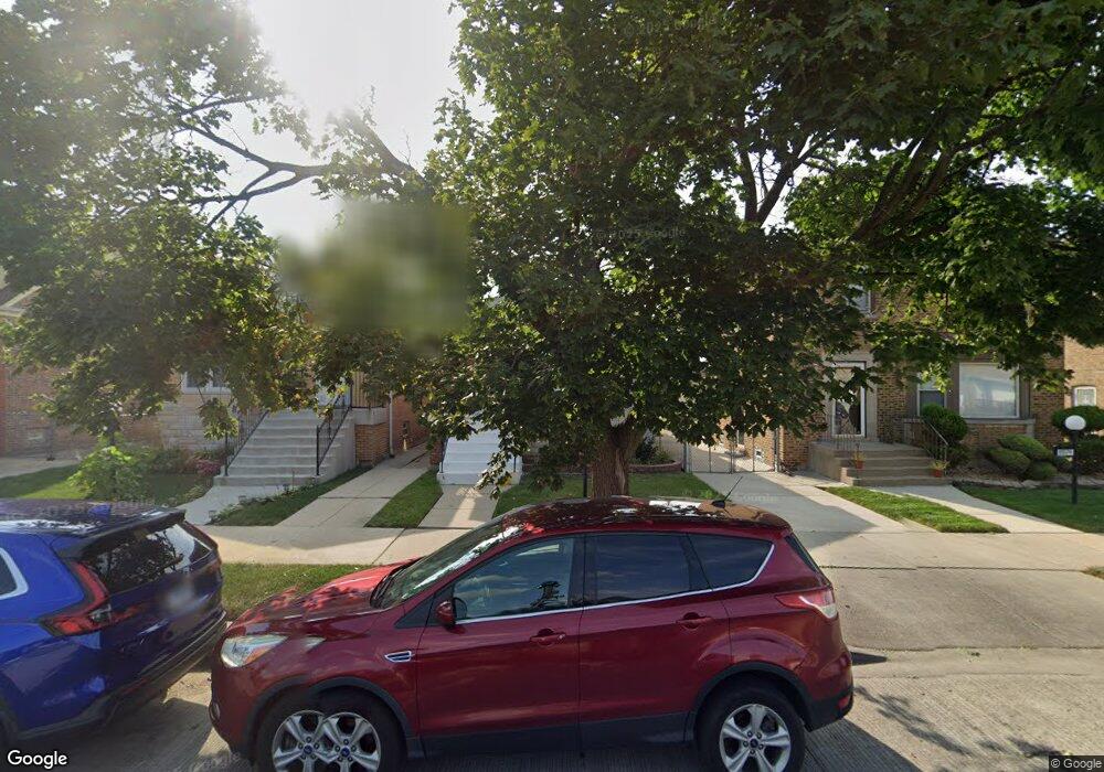
9928 S Union Ave Chicago, IL 60628
Roseland NeighborhoodEstimated Value: $157,000 - $277,000
3
Beds
3
Baths
1,080
Sq Ft
$197/Sq Ft
Est. Value
About This Home
This home is located at 9928 S Union Ave, Chicago, IL 60628 and is currently estimated at $212,699, approximately $196 per square foot. 9928 S Union Ave is a home located in Cook County with nearby schools including Fernwood Elementary School, Julian High School, and St. Margaret of Scotland School.
Ownership History
Date
Name
Owned For
Owner Type
Purchase Details
Closed on
Nov 1, 2018
Sold by
9928 Union Land Trust
Bought by
Robinson Ashley
Current Estimated Value
Home Financials for this Owner
Home Financials are based on the most recent Mortgage that was taken out on this home.
Original Mortgage
$185,693
Outstanding Balance
$168,063
Interest Rate
6.37%
Mortgage Type
New Conventional
Estimated Equity
$44,636
Purchase Details
Closed on
Jul 7, 2017
Sold by
Mccann Pamela
Bought by
9928 Union Land Trust
Create a Home Valuation Report for This Property
The Home Valuation Report is an in-depth analysis detailing your home's value as well as a comparison with similar homes in the area
Home Values in the Area
Average Home Value in this Area
Purchase History
| Date | Buyer | Sale Price | Title Company |
|---|---|---|---|
| Robinson Ashley | $182,500 | Chicago Title | |
| 9928 Union Land Trust | $54,500 | None Available |
Source: Public Records
Mortgage History
| Date | Status | Borrower | Loan Amount |
|---|---|---|---|
| Open | Robinson Ashley | $185,693 |
Source: Public Records
Tax History Compared to Growth
Tax History
| Year | Tax Paid | Tax Assessment Tax Assessment Total Assessment is a certain percentage of the fair market value that is determined by local assessors to be the total taxable value of land and additions on the property. | Land | Improvement |
|---|---|---|---|---|
| 2024 | $2,048 | $19,000 | $1,875 | $17,125 |
| 2023 | $1,976 | $13,000 | $1,719 | $11,281 |
| 2022 | $1,976 | $13,000 | $1,719 | $11,281 |
| 2021 | $1,950 | $12,999 | $1,718 | $11,281 |
| 2020 | $1,504 | $9,836 | $1,718 | $8,118 |
| 2019 | $2,177 | $10,809 | $1,718 | $9,091 |
| 2018 | $2,141 | $10,809 | $1,718 | $9,091 |
| 2017 | $2,433 | $11,279 | $1,562 | $9,717 |
| 2016 | $2,264 | $11,279 | $1,562 | $9,717 |
| 2015 | $2,072 | $11,279 | $1,562 | $9,717 |
| 2014 | $2,011 | $10,812 | $1,406 | $9,406 |
| 2013 | $1,971 | $10,812 | $1,406 | $9,406 |
Source: Public Records
Map
Nearby Homes
- 10020 S Emerald Ave
- 9941 S Lowe Ave
- 9953 S Peoria St
- 10052 S Green St
- 9919 S Peoria St
- 10130 S Lowe Ave
- 10215 S Emerald Ave
- 10216 S Emerald Ave
- 9741 S Lowe Ave
- 9720 S Emerald Ave
- 10217 S Lowe Ave
- 10217 S Wallace St
- 445 W 98th St
- 635 W 103rd St
- 422 W 98th Place
- 10104 S Eggleston Ave
- 9647 S Lowe Ave
- 9815 S Carpenter St
- 520 W 97th St
- 10103 S Aberdeen St
- 9930 S Union Ave
- 9924 S Union Ave
- 9934 S Union Ave
- 9920 S Union Ave
- 9938 S Union Ave
- 9918 S Union Ave
- 9916 S Union Ave
- 9942 S Union Ave
- 9929 S Emerald Ave
- 9925 S Emerald Ave
- 9914 S Union Ave
- 9939 S Emerald Ave
- 9919 S Emerald Ave
- 9919 S Emerald Ave
- 9923 S Emerald Ave
- 9944 S Union Ave
- 9910 S Union Ave
- 9915 S Emerald Ave
- 9931 S Union Ave
- 9927 S Union Ave