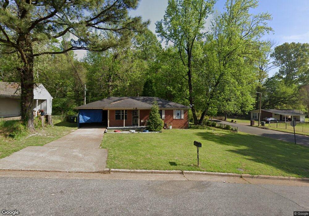
996 Leacrest Ave Memphis, TN 38109
Westwood NeighborhoodEstimated Value: $82,000 - $109,000
3
Beds
1
Bath
925
Sq Ft
$99/Sq Ft
Est. Value
About This Home
This home is located at 996 Leacrest Ave, Memphis, TN 38109 and is currently estimated at $91,664, approximately $99 per square foot. 996 Leacrest Ave is a home located in Shelby County with nearby schools including Levi Elementary School, Chickasaw Middle School, and Westwood High School.
Ownership History
Date
Name
Owned For
Owner Type
Purchase Details
Closed on
Aug 13, 2002
Sold by
Va
Bought by
Brandon Otha L and Brandon Teri M
Current Estimated Value
Home Financials for this Owner
Home Financials are based on the most recent Mortgage that was taken out on this home.
Original Mortgage
$44,501
Outstanding Balance
$18,763
Interest Rate
6.5%
Mortgage Type
Seller Take Back
Estimated Equity
$72,901
Purchase Details
Closed on
Nov 30, 2001
Sold by
Martin Charles H and Martin Mary
Bought by
Va
Create a Home Valuation Report for This Property
The Home Valuation Report is an in-depth analysis detailing your home's value as well as a comparison with similar homes in the area
Home Values in the Area
Average Home Value in this Area
Purchase History
| Date | Buyer | Sale Price | Title Company |
|---|---|---|---|
| Brandon Otha L | $45,001 | -- | |
| Va | $38,455 | -- |
Source: Public Records
Mortgage History
| Date | Status | Borrower | Loan Amount |
|---|---|---|---|
| Open | Brandon Otha L | $44,501 |
Source: Public Records
Tax History Compared to Growth
Tax History
| Year | Tax Paid | Tax Assessment Tax Assessment Total Assessment is a certain percentage of the fair market value that is determined by local assessors to be the total taxable value of land and additions on the property. | Land | Improvement |
|---|---|---|---|---|
| 2025 | $440 | $19,075 | $2,700 | $16,375 |
| 2024 | $440 | $12,975 | $2,225 | $10,750 |
| 2023 | $790 | $12,975 | $2,225 | $10,750 |
| 2022 | $790 | $12,975 | $2,225 | $10,750 |
| 2021 | $800 | $12,975 | $2,225 | $10,750 |
| 2020 | $850 | $11,725 | $2,225 | $9,500 |
| 2019 | $850 | $11,725 | $2,225 | $9,500 |
| 2018 | $850 | $11,725 | $2,225 | $9,500 |
| 2017 | $482 | $11,725 | $2,225 | $9,500 |
| 2016 | $475 | $10,875 | $0 | $0 |
| 2014 | $475 | $10,875 | $0 | $0 |
Source: Public Records
Map
Nearby Homes
- 1010 Leacrest Ave
- 4233 Glenbrook Dr
- 949 W Raines Rd
- 1307 W Raines Rd
- 906 Western Park Dr
- 4087 Weaver Rd
- 4365 Bluebell St
- 4269 Tomahawk St
- 1185 Connemara Ave
- 4264 Double Tree Rd
- 436 Western Park Dr
- 830 W Raines Rd
- 4108 Double Tree St
- 4018 Swanbrook St
- 1221 Tahoe Rd
- 4487 Weaver Rd S
- 1208 Chickamauga Ave
- 4097 Mossville St
- 4539 Weaver Rd SW
- 648 Pawnee Ave
- 1004 Leacrest Ave
- 4196 Brookway St
- 978 Leacrest Ave
- 4217 Brookway St
- 1003 Leacrest Ave
- 1018 Leacrest Ave
- 4216 Lawnview St
- 968 Leacrest Ave
- 4225 Brookway St
- 1024 Leacrest Ave
- 977 Leacrest Ave
- 4224 Lawnview St
- 958 Leacrest Ave
- 4179 Leacrest Cove
- 1030 Leacrest Ave
- 4231 Brookway St
- 4228 Brookway St
- 4217 Lawnview St
- 4181 Leacrest Cove
- 4230 Lawnview St