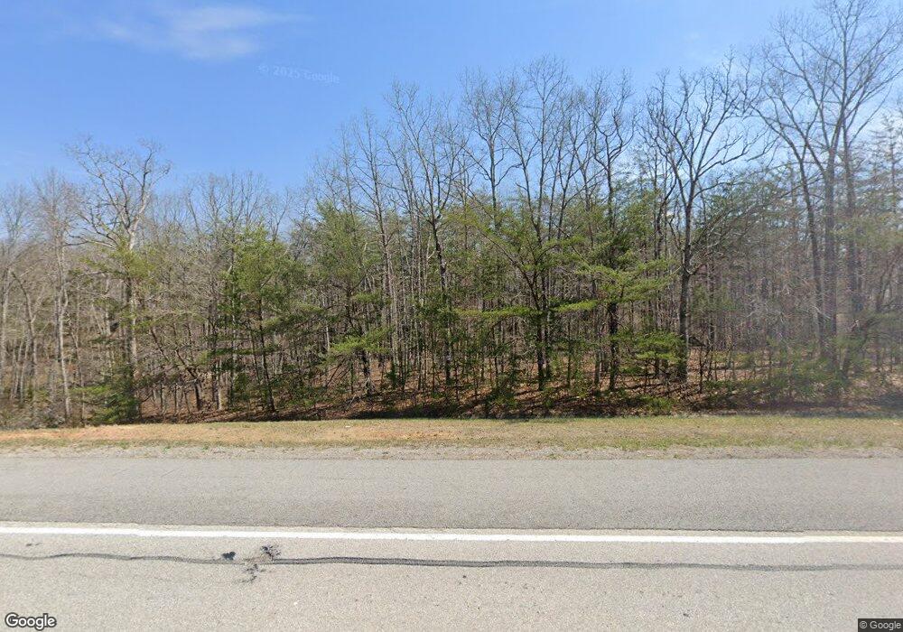
9966 State Route 8 Dunlap, TN 37327
Cagle-Fredonia NeighborhoodEstimated Value: $276,795 - $413,000
--
Bed
--
Bath
1,296
Sq Ft
$258/Sq Ft
Est. Value
About This Home
This home is located at 9966 State Route 8, Dunlap, TN 37327 and is currently estimated at $334,449, approximately $258 per square foot. 9966 State Route 8 is a home with nearby schools including Griffith Elementary School, Sequatchie County Middle School, and Sequatchie County High School.
Ownership History
Date
Name
Owned For
Owner Type
Purchase Details
Closed on
Jun 13, 2022
Sold by
Pickett Wanda L
Bought by
Pickett Robert Curtis and Pickett Tracy Colleen
Current Estimated Value
Home Financials for this Owner
Home Financials are based on the most recent Mortgage that was taken out on this home.
Original Mortgage
$120,000
Outstanding Balance
$99,328
Interest Rate
4.52%
Mortgage Type
New Conventional
Estimated Equity
$235,121
Purchase Details
Closed on
Jul 31, 2009
Sold by
Pickett Wanda L
Bought by
Shreeve Maureen
Purchase Details
Closed on
Feb 25, 2006
Bought by
Pickett Wanda L Shreeve Shreeve Maureen
Purchase Details
Closed on
Oct 26, 1996
Bought by
Betty Stocker
Purchase Details
Closed on
Feb 20, 1995
Bought by
Shreeve Wanda L and Betty Stocker Maureen %
Create a Home Valuation Report for This Property
The Home Valuation Report is an in-depth analysis detailing your home's value as well as a comparison with similar homes in the area
Home Values in the Area
Average Home Value in this Area
Purchase History
| Date | Buyer | Sale Price | Title Company |
|---|---|---|---|
| Pickett Robert Curtis | $180,000 | None Listed On Document | |
| Shreeve Maureen | -- | -- | |
| Pickett Wanda L Shreeve Shreeve Maureen | -- | -- | |
| Betty Stocker | $350 | -- | |
| Shreeve Wanda L | $10,000 | -- |
Source: Public Records
Mortgage History
| Date | Status | Borrower | Loan Amount |
|---|---|---|---|
| Open | Pickett Robert Curtis | $120,000 |
Source: Public Records
Tax History Compared to Growth
Tax History
| Year | Tax Paid | Tax Assessment Tax Assessment Total Assessment is a certain percentage of the fair market value that is determined by local assessors to be the total taxable value of land and additions on the property. | Land | Improvement |
|---|---|---|---|---|
| 2025 | $1,039 | $56,550 | $0 | $0 |
| 2024 | $1,039 | $56,550 | $11,400 | $45,150 |
| 2023 | $1,039 | $56,550 | $11,400 | $45,150 |
| 2022 | $859 | $35,175 | $8,200 | $26,975 |
| 2021 | $859 | $35,175 | $8,200 | $26,975 |
| 2020 | $964 | $39,475 | $8,200 | $31,275 |
| 2019 | $964 | $39,475 | $8,200 | $31,275 |
| 2018 | $286 | $11,700 | $5,750 | $5,950 |
| 2017 | $286 | $11,700 | $5,750 | $5,950 |
| 2016 | $306 | $11,925 | $5,525 | $6,400 |
| 2015 | $306 | $11,925 | $5,525 | $6,400 |
| 2014 | $785 | $30,575 | $5,525 | $25,050 |
Source: Public Records
Map
Nearby Homes
- 10 Laurel Brook Rd
- 408 Sherman Rd
- 163 Thompson Rd
- 200 Coyote Trail
- Lot 61 River Ridge Dr
- 0 Woods Rd Unit RTC3042786
- 0 Woods Rd Unit 1523709
- 13 N Greenfields Way
- 13 Bear Wallow Rd
- Lot 13 Bear Wallow Rd
- 40 Mccarver Loop
- 0 S R 8
- 11556 R 8
- 67 Locust Rd
- 1231 Black Mountain Rd
- 0 Tennessee 399
- 218 Black Mountain Rd W
- 55 Rustling Pines Rd
- 95 Rustling Pines Rd
- 0004 Fredonia Mountain Rd
- 10191 State Route 8
- 8 Laurel Brook Rd
- 10329 State Route 8
- 6 Sherman Rd
- 242 Sherman Rd
- 242 Sherman Rd
- 12 Laurel Brook Rd
- 12 Laural Brook Rd
- 10357 State Route 8
- 162 Sherman Rd
- 283 Sherman Rd
- 0 Laural Brook Rd Unit 1368798
- 0 Laural Brook Rd Unit RTC2486434
- 0 Laural Brook Rd Unit 217462
- 0 Laural Brook Rd Unit 20133204
- 0 Laural Brook Rd Unit 1197236
- 0 Laural Brook Rd Unit 20230750
- 0 Laural Brook Rd Unit 1336507
- 278 Sherman Rd
- 0 Sherman Rd Unit 1017132
