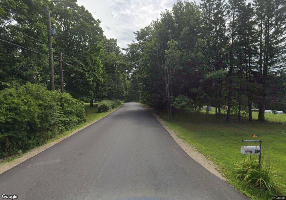
L10 Province Rd Unit aka subdivision map Barnstead, NH 03218
--
Bed
--
Bath
--
Sq Ft
7.86
Acres
About This Home
This home is located at L10 Province Rd Unit aka subdivision map, Barnstead, NH 03218. L10 Province Rd Unit aka subdivision map is a home located in Belknap County with nearby schools including Barnstead Elementary School and Prospect Mountain High School.
Create a Home Valuation Report for This Property
The Home Valuation Report is an in-depth analysis detailing your home's value as well as a comparison with similar homes in the area
Home Values in the Area
Average Home Value in this Area
Tax History Compared to Growth
Map
Nearby Homes
- 85 Province Rd
- 572 S Barnstead Rd
- 11 Gray Rd
- R11 07 Clough Rd
- 449 Tilton Hill Rd
- 152 Evans Rd
- 1760 Province Rd
- M2-l29-2 Province Rd
- 4 Sandy Point Rd
- 28 Sanderson Dr
- L33 Province Rd
- 18 Catamount Rd
- 109 Shackford Corner Rd
- 4 Parade Cir
- 81 Winant Rd
- L68-1 Vail Rd
- 99 Fairview Dr
- 93 Fairview Dr
- L68-2 Vail Rd
- Map 102 Lot 9 Kramas Ln
- L10 Province Rd
- 1273 Province Rd
- 1261 Province Rd
- L8 Province Rd
- 1247 Province Rd
- 1309 Province Rd
- 1212 Province Rd
- 1204 Province Rd
- L3 Beauty Hill
- 0 Gray Rd
- 0 Province Rd
- 0 Province Rd
- 0 Province Rd
- 0 Province Rd
- 0 Province Rd
- L-12 Province Rd
- L12 Province Rd
- 1176 Province Rd
- 1196 Province Rd
- Lot 10 Province Rd