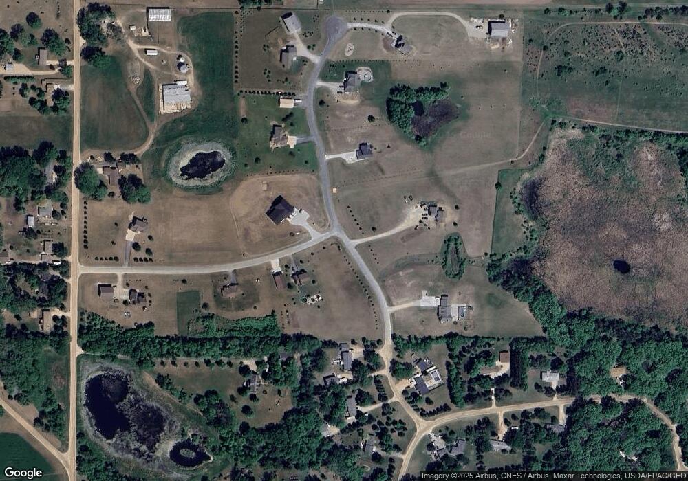
L6B1 Davidson Ave Rockford Township, MN 55313
Estimated Value: $552,000 - $610,391
3
Beds
2
Baths
1,716
Sq Ft
$333/Sq Ft
Est. Value
About This Home
This home is located at L6B1 Davidson Ave, Rockford Township, MN 55313 and is currently estimated at $571,098, approximately $332 per square foot. L6B1 Davidson Ave is a home located in Wright County with nearby schools including Montrose Elementary School, Buffalo Community Middle School, and Buffalo Senior High School.
Ownership History
Date
Name
Owned For
Owner Type
Purchase Details
Closed on
Aug 19, 2019
Sold by
Zachman Christopher W and Adams Robin Teresa
Bought by
Burandt Wenda and Burandt Keith
Current Estimated Value
Home Financials for this Owner
Home Financials are based on the most recent Mortgage that was taken out on this home.
Original Mortgage
$260,000
Outstanding Balance
$200,087
Interest Rate
3.7%
Mortgage Type
New Conventional
Estimated Equity
$371,011
Purchase Details
Closed on
May 31, 2017
Sold by
Homes Plus Designers Builders Inc
Bought by
Zachman Christopher W and Zachman Robin T
Purchase Details
Closed on
Dec 7, 2016
Sold by
Eichten Billy E and Eichten Debra K
Bought by
Zachman Christopher W and Zachman Robin T
Purchase Details
Closed on
Jul 31, 2006
Sold by
Westford Meadows Development Llc
Bought by
Eichten Billy E and Eichten Debra K
Create a Home Valuation Report for This Property
The Home Valuation Report is an in-depth analysis detailing your home's value as well as a comparison with similar homes in the area
Home Values in the Area
Average Home Value in this Area
Purchase History
| Date | Buyer | Sale Price | Title Company |
|---|---|---|---|
| Burandt Wenda | $360,000 | Central Land Title | |
| Zachman Christopher W | $305,979 | Sherburne County Abstract | |
| Homes Plus Designer Builders Inc | -- | Sherburne County Abstract | |
| Zachman Christopher W | -- | Sherburne County Abstract | |
| Eichten Billy E | $165,000 | -- |
Source: Public Records
Mortgage History
| Date | Status | Borrower | Loan Amount |
|---|---|---|---|
| Open | Burandt Wenda | $260,000 |
Source: Public Records
Tax History Compared to Growth
Tax History
| Year | Tax Paid | Tax Assessment Tax Assessment Total Assessment is a certain percentage of the fair market value that is determined by local assessors to be the total taxable value of land and additions on the property. | Land | Improvement |
|---|---|---|---|---|
| 2025 | $4,882 | $548,000 | $166,600 | $381,400 |
| 2024 | $4,540 | $516,500 | $166,600 | $349,900 |
| 2023 | $4,392 | $516,700 | $166,600 | $350,100 |
| 2022 | $3,590 | $439,900 | $133,900 | $306,000 |
| 2021 | $3,544 | $333,700 | $107,300 | $226,400 |
| 2020 | $3,666 | $327,300 | $106,000 | $221,300 |
| 2019 | $3,078 | $319,000 | $0 | $0 |
| 2018 | $684 | $279,700 | $0 | $0 |
| 2017 | $670 | $89,600 | $0 | $0 |
| 2016 | $668 | $0 | $0 | $0 |
| 2015 | $456 | $0 | $0 | $0 |
| 2014 | -- | $0 | $0 | $0 |
Source: Public Records
Map
Nearby Homes
- 3750 35th St SE
- 3519 36th St SE
- XXX Dague Ave SE
- 2620 24th St SE
- 5057 Fairhill Dr SE
- 1189 Eckert Ave SE
- 2191 20th St SE
- 1157 30th St SE
- 867 Eckert Ave SE
- 5055 Greenwood Ln
- 2584 County Road 33 SE
- 5507 Fenning Ave SE
- 5982 Farmington Ave SE
- 4840 Maple St
- 5311 Greenwood Ln
- 4849 Maple St
- 8907 Foust Ln
- 4944 River Oaks Rd
- 3439 Hall Ave SE
- 1107 Otto Dr NW
- 3339 Davidson Ave SE
- 3339 Davidson Ave SE
- 3276 Darrow Ave SE
- 33xx (Lot 1) Davidson Ave SE
- 33xx (Lot 2) Davidson Ave SE
- 33xx (Lot 2) SE Davison Ave
- 3264 Davidson Ave SE
- 3674 33rd St SE
- 33xx (Lot 3) Davidson Ave SE
- 33xx (Lot 3) SE Davison Ave
- 3360 Davidson Ave SE
- 3668 3668 33rd-Street-se
- 3376 Darrow Ave SE
- 3596 33rd St SE
- 3440 SE Davison Ave
- 3315 Darrow Ave SE
- 33xx (Lot 4) Davidson Ave SE
- 33xx (Lot 4) SE Davison Ave
- 3285 Darrow Ave SE
- 3214 Darrow Ave SE
