Lot 4 S 10th W Missoula, MT 59804
Two Rivers NeighborhoodEstimated Value: $691,000 - $947,000
4
Beds
3
Baths
2,215
Sq Ft
$375/Sq Ft
Est. Value
About This Home
This home is located at Lot 4 S 10th W, Missoula, MT 59804 and is currently estimated at $829,850, approximately $374 per square foot. Lot 4 S 10th W is a home located in Missoula County with nearby schools including Hawthorne Elementary School, Porter Middle School, and Big Sky High School.
Ownership History
Date
Name
Owned For
Owner Type
Purchase Details
Closed on
Feb 4, 2021
Sold by
Hansen Dan
Bought by
Green Frank R and Green Brandy J
Current Estimated Value
Home Financials for this Owner
Home Financials are based on the most recent Mortgage that was taken out on this home.
Original Mortgage
$517,545
Outstanding Balance
$462,084
Interest Rate
2.6%
Mortgage Type
VA
Estimated Equity
$367,766
Create a Home Valuation Report for This Property
The Home Valuation Report is an in-depth analysis detailing your home's value as well as a comparison with similar homes in the area
Home Values in the Area
Average Home Value in this Area
Purchase History
| Date | Buyer | Sale Price | Title Company |
|---|---|---|---|
| Green Frank R | -- | First American Title Company |
Source: Public Records
Mortgage History
| Date | Status | Borrower | Loan Amount |
|---|---|---|---|
| Open | Green Frank R | $517,545 |
Source: Public Records
Tax History Compared to Growth
Tax History
| Year | Tax Paid | Tax Assessment Tax Assessment Total Assessment is a certain percentage of the fair market value that is determined by local assessors to be the total taxable value of land and additions on the property. | Land | Improvement |
|---|---|---|---|---|
| 2025 | $8,096 | $892,600 | $232,639 | $659,961 |
| 2024 | $7,730 | $635,300 | $120,612 | $514,688 |
| 2023 | $7,489 | $635,300 | $120,612 | $514,688 |
| 2022 | $6,799 | $500,600 | $104,262 | $396,338 |
| 2021 | $5,532 | $455,382 | $0 | $0 |
| 2020 | $1,304 | $97,278 | $0 | $0 |
| 2019 | $1,300 | $97,278 | $0 | $0 |
| 2018 | $1,081 | $78,304 | $0 | $0 |
| 2017 | $1,065 | $78,304 | $0 | $0 |
| 2016 | $922 | $70,624 | $0 | $0 |
| 2015 | $855 | $70,624 | $0 | $0 |
| 2014 | $976 | $45,640 | $0 | $0 |
Source: Public Records
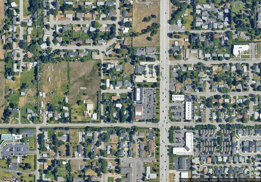
Map
Nearby Homes
- 1311 Bridgecourt Way
- 1312 27th Ave
- 2712 Spurgin Rd
- 2123 27th Ave
- 1421 Eaton St Unit 25
- 2406 S 5th St W
- 2225 S 8th St W
- 2511 and 2513 S 3rd St W
- 2511, 2513, 2515, & S 3rd St W
- 1310 Linnea Ln
- 2515 and 2517 S 3rd St W
- 1645 Margaret St Unit B
- 2214 S 12th St W
- 2216 S 12th St W
- 815 Gary Dr
- 2220 S 13th St W
- 2337 S 3rd St W Unit 7
- 2337 S 3rd St W Unit 6
- 2337 S 3rd St W Unit 8
- 1708 27th Ave
- Lot 4 S 10th W Unit Lot 4
- 2510 S 10th St W
- 2520 S 10th St W
- 1211 S Reserve St Unit 204
- 1211 S Reserve St Unit 202
- 1211 S Reserve St
- 1211 S Reserve St
- 2519 S 10th St W
- 1213 S Reserve St
- 1114 26th Ave
- 2505 S 9th St W
- 1106 26th Ave
- 2526 Spurgin Rd
- 2532 Spurgin Rd
- 1235 S Reserve St
- 1204 26th Ave
- 1009 S Reserve St
- 1104 26th Ave
- 1012 26th Ave
- 2610 Spurgin Rd