Lt 3 BK 1 Lendee Dr Nisswa, MN 56468
Estimated Value: $975,000 - $1,380,648
--
Bed
--
Bath
1,784
Sq Ft
$668/Sq Ft
Est. Value
About This Home
This home is located at Lt 3 BK 1 Lendee Dr, Nisswa, MN 56468 and is currently estimated at $1,190,912, approximately $667 per square foot. Lt 3 BK 1 Lendee Dr is a home located in Crow Wing County with nearby schools including Nisswa Elementary School, Forestview Middle School, and Brainerd Senior High School.
Ownership History
Date
Name
Owned For
Owner Type
Purchase Details
Closed on
Apr 3, 2023
Sold by
Ubl Stefanie and Ubl Kaitlin
Bought by
Obrien Kevin and Spychalla Marion
Current Estimated Value
Home Financials for this Owner
Home Financials are based on the most recent Mortgage that was taken out on this home.
Original Mortgage
$627,500
Outstanding Balance
$609,148
Interest Rate
6.32%
Mortgage Type
New Conventional
Estimated Equity
$581,764
Create a Home Valuation Report for This Property
The Home Valuation Report is an in-depth analysis detailing your home's value as well as a comparison with similar homes in the area
Home Values in the Area
Average Home Value in this Area
Purchase History
| Date | Buyer | Sale Price | Title Company |
|---|---|---|---|
| Obrien Kevin | $1,255,000 | -- |
Source: Public Records
Mortgage History
| Date | Status | Borrower | Loan Amount |
|---|---|---|---|
| Open | Obrien Kevin | $627,500 |
Source: Public Records
Tax History Compared to Growth
Tax History
| Year | Tax Paid | Tax Assessment Tax Assessment Total Assessment is a certain percentage of the fair market value that is determined by local assessors to be the total taxable value of land and additions on the property. | Land | Improvement |
|---|---|---|---|---|
| 2025 | $8,560 | $1,197,200 | $645,000 | $552,200 |
| 2024 | $8,560 | $993,000 | $519,900 | $473,100 |
| 2023 | $6,278 | $815,500 | $362,400 | $453,100 |
| 2022 | $5,242 | $732,000 | $277,400 | $454,600 |
| 2021 | $1,980 | $510,400 | $225,800 | $284,600 |
| 2020 | $1,595 | $202,900 | $145,100 | $57,800 |
| 2019 | $1,630 | $136,900 | $136,900 | $0 |
| 2018 | $1,500 | $136,700 | $136,700 | $0 |
| 2017 | $1,372 | $133,800 | $133,800 | $0 |
| 2016 | $1,452 | $139,300 | $139,300 | $0 |
| 2015 | $1,476 | $139,300 | $139,300 | $0 |
| 2014 | $695 | $130,800 | $130,800 | $0 |
Source: Public Records
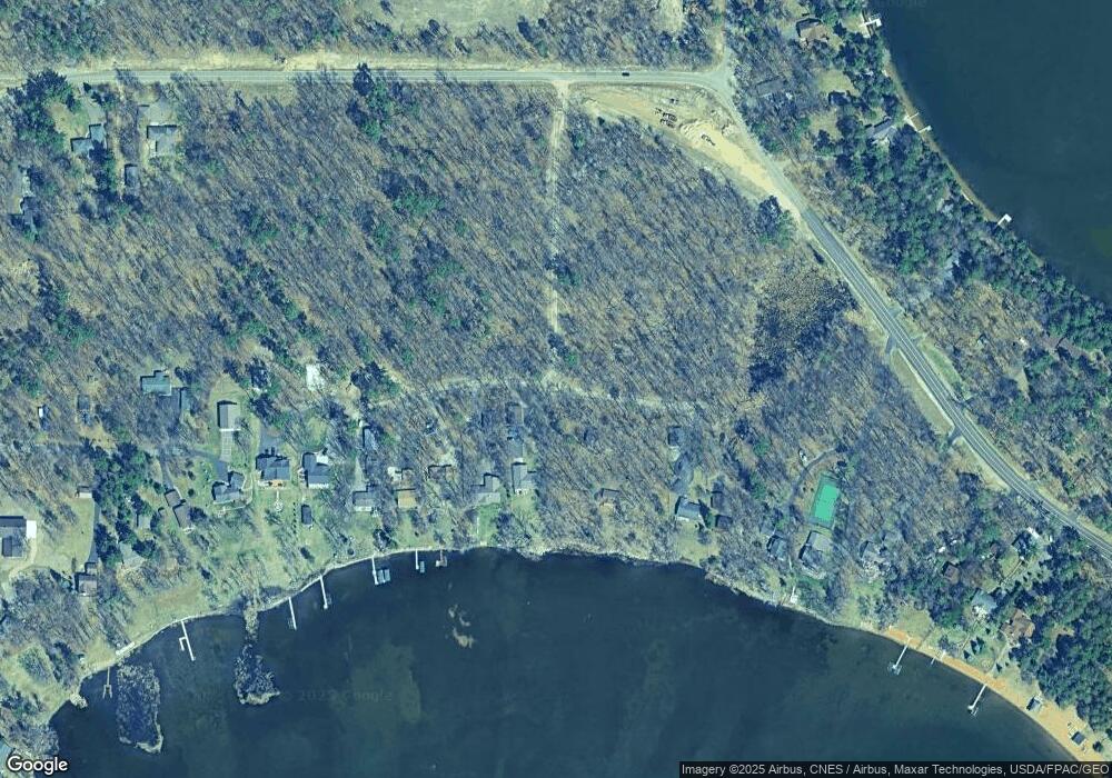
Map
Nearby Homes
- 6175 Nashway Rd
- 5891 Nashway Rd
- 22133 Windy Ridge Rd
- 6991 Shadow Ln
- 7603 Pine Haven Ln
- 5916 Ojibwa Rd
- 20882 N Long Trail
- 4617 Forest Hills Cir
- 21107 Night Hawk Ln
- 23904 Summer Haven Ln
- 22042 County Road 137 N
- 6272 County Road 13
- 4351 Cinosam Rd
- 4354 Mission Rd
- 20535 Ward Ave
- 24197 White Pine Dr
- 20729 Paine Ave
- 4451 See Gull Cove
- 24601 Perrin Point
- 4218 See Gull Cove
- Lt 2 BK 1 Lendee Dr
- Lot 3 Blk 1 Lendee Ln
- Lot 3 Lendee Dr
- 6301 Lendee Dr
- L2 B1 Lendee Ln
- xxx Lendee Dr
- Lot 2 Blk 1 Lendee Ln
- 6307 Lendee Dr
- TBD Lendee Ln
- TBD Bittersweet Ln
- 6329 Lendee Dr
- 6249 Bittersweet Ln
- 6324 Lendee Dr
- 6341 Lendee Dr
- Lot 2 Lendee Dr
- 6239 Bittersweet Ln
- 6248 Bittersweet Ln
- 6367 Lendee Dr
- 6229 Bittersweet Ln
- 6401 Lendee Dr