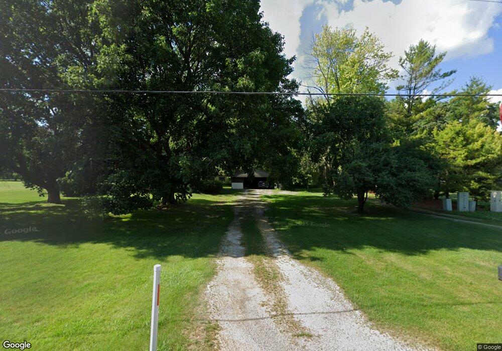
N20W22266 North Ave Waukesha, WI 53186
Estimated Value: $358,283 - $759,000
--
Bed
--
Bath
--
Sq Ft
0.79
Acres
About This Home
This home is located at N20W22266 North Ave, Waukesha, WI 53186 and is currently estimated at $505,821. N20W22266 North Ave is a home with nearby schools including Banting Elementary School, Horning Middle School, and North High School.
Ownership History
Date
Name
Owned For
Owner Type
Purchase Details
Closed on
Feb 1, 2005
Sold by
Rainer Susan B
Bought by
Rainer Leigh T
Current Estimated Value
Home Financials for this Owner
Home Financials are based on the most recent Mortgage that was taken out on this home.
Original Mortgage
$90,000
Interest Rate
5.83%
Mortgage Type
Seller Take Back
Create a Home Valuation Report for This Property
The Home Valuation Report is an in-depth analysis detailing your home's value as well as a comparison with similar homes in the area
Home Values in the Area
Average Home Value in this Area
Purchase History
| Date | Buyer | Sale Price | Title Company |
|---|---|---|---|
| Rainer Leigh T | -- | -- |
Source: Public Records
Mortgage History
| Date | Status | Borrower | Loan Amount |
|---|---|---|---|
| Closed | Rainer Leigh T | $90,000 |
Source: Public Records
Tax History Compared to Growth
Tax History
| Year | Tax Paid | Tax Assessment Tax Assessment Total Assessment is a certain percentage of the fair market value that is determined by local assessors to be the total taxable value of land and additions on the property. | Land | Improvement |
|---|---|---|---|---|
| 2024 | $3,091 | $261,800 | $106,100 | $155,700 |
| 2023 | $3,089 | $261,800 | $106,100 | $155,700 |
| 2022 | $2,952 | $261,800 | $106,100 | $155,700 |
| 2021 | $3,119 | $261,800 | $106,100 | $155,700 |
| 2020 | $3,196 | $213,500 | $95,200 | $118,300 |
| 2019 | $3,087 | $213,500 | $95,200 | $118,300 |
| 2018 | $2,794 | $213,500 | $95,200 | $118,300 |
| 2017 | $2,626 | $213,500 | $95,200 | $118,300 |
| 2016 | $2,643 | $213,500 | $95,200 | $118,300 |
| 2015 | $2,690 | $213,500 | $95,200 | $118,300 |
| 2014 | $2,771 | $213,500 | $95,200 | $118,300 |
| 2013 | $2,771 | $213,500 | $95,200 | $118,300 |
Source: Public Records
Map
Nearby Homes
- W222N2310 Glenwood Ln
- N19W22081 Foxview Ct Unit 2B
- 21905 W North Ave
- N24W22420 Meadowood Ln
- N18W22670 Watertown Rd Unit Bld 1,2,3
- 21710 Astolat Dr
- 1930 Cotton Tail Ln
- 2480 Lionel Ct
- N26W22577 Oakwood Ln
- 7038 Stonewood Ln
- 7034 Stonewood Ln
- 7022 Stonewood Ln
- 7018 Stonewood Ln
- 21300 Astolat Dr
- 1135 Greenridge Terrace
- 1155 Gray Fox Hollow Ct
- 1660 Constitution Dr
- Lt115 Berwick Ct
- Lt118 Berwick Ct
- Lt117 Berwick Ct
- N20W22276 North Ave
- W222N2165 Glenwood Ln
- W222N2187 Glenwood Ln
- W222N2147 Glenwood Ln
- N21W22271 Meadowood Ln
- N21W22283 Meadowood Ln
- W222N2135 Glenwood Ln
- W222N2193 Glenwood Ln
- N20W22340 North Ave
- W222N2170 Glenwood Ln
- N20W22239 North Ave
- N21W22315 Meadowood Ln
- W222N2113 Glenwood Ln
- N22W22201 Meadowood Ct
- W222N2154 Glenwood Ln
- N22W22292 Meadowood Ln
- W222N2267 Glenwood Ln
- W222N2124 Glenwood Ln
- N21W22323 Meadowood Ln
- W223N2224 Meadowood Ln