N5435 610th St Ellsworth, WI 54011
Estimated Value: $220,000 - $290,000
3
Beds
2
Baths
--
Sq Ft
7
Acres
About This Home
This home is located at N5435 610th St, Ellsworth, WI 54011 and is currently estimated at $255,268. N5435 610th St is a home located in Pierce County with nearby schools including Ellsworth High School.
Ownership History
Date
Name
Owned For
Owner Type
Purchase Details
Closed on
May 17, 2024
Sold by
Pommer Alea G
Bought by
Brandenburg Christopher L
Current Estimated Value
Purchase Details
Closed on
Apr 22, 2020
Sold by
Brandenburg Alea G
Bought by
Brendenburg Christopher L
Purchase Details
Closed on
Jun 27, 2008
Sold by
Kruss Rolland H and Kruss Jean F
Bought by
Brandenburg Christopher L and Brandenburg Alea G
Home Financials for this Owner
Home Financials are based on the most recent Mortgage that was taken out on this home.
Original Mortgage
$84,000
Interest Rate
5.87%
Mortgage Type
Adjustable Rate Mortgage/ARM
Purchase Details
Closed on
Jun 3, 2008
Sold by
Krauss Sean W
Bought by
Krauss Rolland J and Krauss Jean F
Home Financials for this Owner
Home Financials are based on the most recent Mortgage that was taken out on this home.
Original Mortgage
$84,000
Interest Rate
5.87%
Mortgage Type
Adjustable Rate Mortgage/ARM
Create a Home Valuation Report for This Property
The Home Valuation Report is an in-depth analysis detailing your home's value as well as a comparison with similar homes in the area
Home Values in the Area
Average Home Value in this Area
Purchase History
| Date | Buyer | Sale Price | Title Company |
|---|---|---|---|
| Brandenburg Christopher L | $85,500 | Alea Grace Pommer | |
| Brendenburg Christopher L | -- | None Available | |
| Brandenburg Christopher L | $105,000 | Edina Realty Title | |
| Krauss Rolland J | -- | None Available |
Source: Public Records
Mortgage History
| Date | Status | Borrower | Loan Amount |
|---|---|---|---|
| Previous Owner | Brandenburg Christopher L | $84,000 |
Source: Public Records
Tax History Compared to Growth
Tax History
| Year | Tax Paid | Tax Assessment Tax Assessment Total Assessment is a certain percentage of the fair market value that is determined by local assessors to be the total taxable value of land and additions on the property. | Land | Improvement |
|---|---|---|---|---|
| 2024 | $2,436 | $135,400 | $37,500 | $97,900 |
| 2023 | $2,217 | $135,400 | $37,500 | $97,900 |
| 2022 | $1,617 | $135,400 | $37,500 | $97,900 |
| 2021 | $1,874 | $135,400 | $37,500 | $97,900 |
| 2020 | $2,152 | $101,300 | $25,800 | $75,500 |
| 2019 | $2,074 | $101,300 | $25,800 | $75,500 |
| 2018 | $2,174 | $101,300 | $25,800 | $75,500 |
| 2017 | $2,143 | $101,300 | $25,800 | $75,500 |
| 2016 | $2,221 | $101,300 | $25,800 | $75,500 |
| 2015 | $2,069 | $101,300 | $25,800 | $75,500 |
| 2014 | $1,959 | $101,300 | $25,800 | $75,500 |
| 2013 | $2,034 | $110,200 | $15,000 | $95,200 |
Source: Public Records
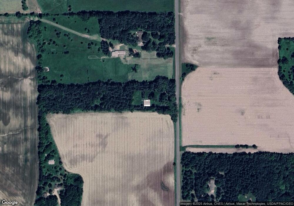
Map
Nearby Homes
- 332 Pleasant Ave
- 166 E Main St
- 146 E Main St
- 227 S Piety St
- 195 W Humble Ave
- 829 N Grant St
- 841 N Grant St
- 944 S Kelly Rd
- 883 N Grant St
- 893 N Grant St
- 230 S Chestnut St
- 232 S Chestnut St
- 871 N Grant St
- 269 S Chestnut St
- 314 N Maple St
- 185 S Maple St
- 000 S Maple St
- XXX S Maple St
- 000 Debra St
- N5196 732nd St
- N5435 610th St
- N5477 610th St
- N5477 610th St
- N5477 610th St
- N5370 610th St
- W6172 Us Highway 63
- N5529 610th St
- N5529 610th St
- W6054 Us Highway 63
- W6050 Us Highway 63
- N5543 610th St
- TBD Us Hwy 63
- n 5349 590th St
- N5349 590th St
- W5990 Us Highway 63
- 5770 Us Highway 63
- 5605 610th St
- W6199 Us Highway 63
- 0 Lot 2 590th St Unit 4372539
- 0 Lot 1 590th St Unit 4372537