N5653 590th St Ellsworth, WI 54011
Estimated Value: $364,000 - $587,811
--
Bed
--
Bath
--
Sq Ft
2.72
Acres
About This Home
This home is located at N5653 590th St, Ellsworth, WI 54011 and is currently estimated at $492,937. N5653 590th St is a home located in Pierce County with nearby schools including Ellsworth High School.
Ownership History
Date
Name
Owned For
Owner Type
Purchase Details
Closed on
Jul 30, 2007
Sold by
Johnson Duane M and Johnson Marion S
Bought by
Christopherson Darrin D and Christopherson Lindsay M
Current Estimated Value
Home Financials for this Owner
Home Financials are based on the most recent Mortgage that was taken out on this home.
Original Mortgage
$320,000
Outstanding Balance
$202,918
Interest Rate
6.69%
Mortgage Type
Construction
Estimated Equity
$290,019
Create a Home Valuation Report for This Property
The Home Valuation Report is an in-depth analysis detailing your home's value as well as a comparison with similar homes in the area
Home Values in the Area
Average Home Value in this Area
Purchase History
| Date | Buyer | Sale Price | Title Company |
|---|---|---|---|
| Christopherson Darrin D | -- | None Available |
Source: Public Records
Mortgage History
| Date | Status | Borrower | Loan Amount |
|---|---|---|---|
| Open | Christopherson Darrin D | $320,000 |
Source: Public Records
Tax History Compared to Growth
Tax History
| Year | Tax Paid | Tax Assessment Tax Assessment Total Assessment is a certain percentage of the fair market value that is determined by local assessors to be the total taxable value of land and additions on the property. | Land | Improvement |
|---|---|---|---|---|
| 2024 | $8,728 | $485,100 | $31,200 | $453,900 |
| 2023 | $7,944 | $485,100 | $31,200 | $453,900 |
| 2022 | $6,395 | $485,100 | $31,200 | $453,900 |
| 2021 | $7,360 | $485,100 | $31,200 | $453,900 |
| 2020 | $6,289 | $280,000 | $20,000 | $260,000 |
| 2019 | $6,138 | $280,100 | $20,100 | $260,000 |
| 2018 | $5,919 | $280,100 | $20,100 | $260,000 |
| 2017 | $5,309 | $253,600 | $20,000 | $233,600 |
| 2016 | $5,493 | $253,600 | $20,000 | $233,600 |
| 2015 | $5,173 | $253,600 | $20,000 | $233,600 |
| 2014 | $4,891 | $253,600 | $20,000 | $233,600 |
| 2013 | $5,281 | $286,500 | $21,000 | $265,500 |
Source: Public Records
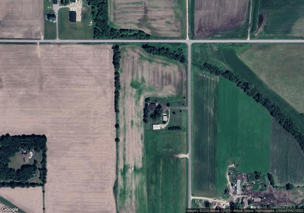
Map
Nearby Homes
- 332 Pleasant Ave
- 166 E Main St
- 146 E Main St
- 829 N Grant St
- 883 N Grant St
- 893 N Grant St
- 871 N Grant St
- 841 N Grant St
- 227 S Piety St
- 195 W Humble Ave
- 230 S Chestnut St
- 232 S Chestnut St
- 314 N Maple St
- 269 S Chestnut St
- 944 S Kelly Rd
- 000 Debra St
- 185 S Maple St
- 000 S Maple St
- XXX S Maple St
- W6347 710th Ave
- N5604 610th St
- N5604 610th St
- N6118 Us Highway 63
- N6148 530th St
- N5503 590th St
- W5776 570th Ave
- N5645 610th St
- N5591 Us Highway 63
- 0 Lot 2 590th St Unit 4372539
- 0 Lot 1 590th St Unit 4372537
- N5543 610th St
- N5731 Us Highway 63
- N5805 Us Highway 63
- 5770 Us Highway 63
- 5605 610th St
- N5477 610th St
- N5477 610th St
- N5477 610th St
- N5529 610th St
- N5529 610th St