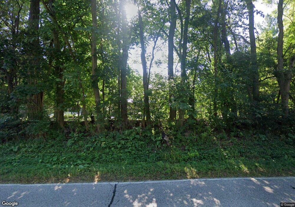
N6W30543 Maple Ave Waukesha, WI 53188
Estimated Value: $671,618 - $806,000
--
Bed
--
Bath
--
Sq Ft
1.77
Acres
About This Home
This home is located at N6W30543 Maple Ave, Waukesha, WI 53188 and is currently estimated at $713,155. N6W30543 Maple Ave is a home located in Waukesha County with nearby schools including Wales Elementary School, Kettle Moraine Middle School, and Kettle Moraine High School.
Ownership History
Date
Name
Owned For
Owner Type
Purchase Details
Closed on
Jun 10, 1998
Sold by
Portz Donald H and Portz Joyce M
Bought by
Hampton Kurt and Moose Diane C
Current Estimated Value
Home Financials for this Owner
Home Financials are based on the most recent Mortgage that was taken out on this home.
Original Mortgage
$228,750
Outstanding Balance
$46,161
Interest Rate
7.15%
Mortgage Type
Purchase Money Mortgage
Estimated Equity
$666,994
Create a Home Valuation Report for This Property
The Home Valuation Report is an in-depth analysis detailing your home's value as well as a comparison with similar homes in the area
Home Values in the Area
Average Home Value in this Area
Purchase History
| Date | Buyer | Sale Price | Title Company |
|---|---|---|---|
| Hampton Kurt | $150,000 | -- |
Source: Public Records
Mortgage History
| Date | Status | Borrower | Loan Amount |
|---|---|---|---|
| Open | Hampton Kurt | $228,750 |
Source: Public Records
Tax History Compared to Growth
Tax History
| Year | Tax Paid | Tax Assessment Tax Assessment Total Assessment is a certain percentage of the fair market value that is determined by local assessors to be the total taxable value of land and additions on the property. | Land | Improvement |
|---|---|---|---|---|
| 2024 | $5,558 | $423,000 | $121,000 | $302,000 |
| 2023 | $5,546 | $423,000 | $121,000 | $302,000 |
| 2022 | $5,448 | $421,000 | $121,000 | $300,000 |
| 2021 | $4,665 | $368,000 | $121,000 | $247,000 |
| 2020 | $4,409 | $345,000 | $121,000 | $224,000 |
| 2019 | $4,184 | $345,000 | $121,000 | $224,000 |
| 2018 | $4,236 | $345,000 | $121,000 | $224,000 |
| 2017 | $4,201 | $345,000 | $121,000 | $224,000 |
| 2016 | $4,410 | $345,000 | $121,000 | $224,000 |
| 2015 | $4,460 | $345,000 | $121,000 | $224,000 |
| 2014 | $3,941 | $345,000 | $121,000 | $224,000 |
| 2013 | $3,941 | $309,000 | $121,000 | $188,000 |
Source: Public Records
Map
Nearby Homes
- N7W31376 Cambridge Ct
- N12W29872 Southampton Ct
- N15W29972 Brookstone Cir
- W316S198 Wisconsin 83
- N16W29646 Caldicot South Cir
- N17W29663 Caldicot North Cir
- The Charleston Plan at Welshire Farm - The Villas at Welshire Farm
- The Wingra Plan at Welshire Farm - The Villas at Welshire Farm
- The Dover Plan at Welshire Farm - The Villas at Welshire Farm
- The Bridgeport Plan at Welshire Farm - The Villas at Welshire Farm
- The Adrian Plan at Welshire Farm - The Villas at Welshire Farm
- The Bradford Plan at Welshire Farm - The Villas at Welshire Farm
- The Atwater Plan at Welshire Farm - The Villas at Welshire Farm
- The Hudson Plan at Welshire Farm - The Villas at Welshire Farm
- The Coral Plan at Welshire Farm - The Villas at Welshire Farm
- The Sheridan Plan at Welshire Farm - The Villas at Welshire Farm
- The McKinley Plan at Welshire Farm - The Villas at Welshire Farm
- The Addison Plan at Welshire Farm - The Villas at Welshire Farm
- The Drake Plan at Welshire Farm - The Villas at Welshire Farm
- The Siena Plan at Welshire Farm - The Villas at Welshire Farm
- N6W30515 Maple Ave
- N6W30662 Mohawk Trail
- W305N578 Maple Ave
- N7W30538 Maple Ave
- N4W30652 Maplefields Path
- N5W30667 Mohawk Trail
- N7W30470 Maple Ave
- N7W30605 Cherokee Trail
- N4W30628 Maplefields Path
- N4W30600 Maplefields Path
- N8W30535 Cherokee Trail
- N4W30649 Maplefields Path
- N5W30765 Cherokee Trail
- N4W30625 Maplefields Path
- N7W30710 Cherokee Trail
- N7W30687 Cherokee Trail
- N4W30671 Maple Ave
- N6W30768 Cherokee Trail
- N4W30803 Cherokee Trail
- N8W30697 Broken Bow Trail
